Swamp Fox Passage
Swamp Fox Passage
Trail Description
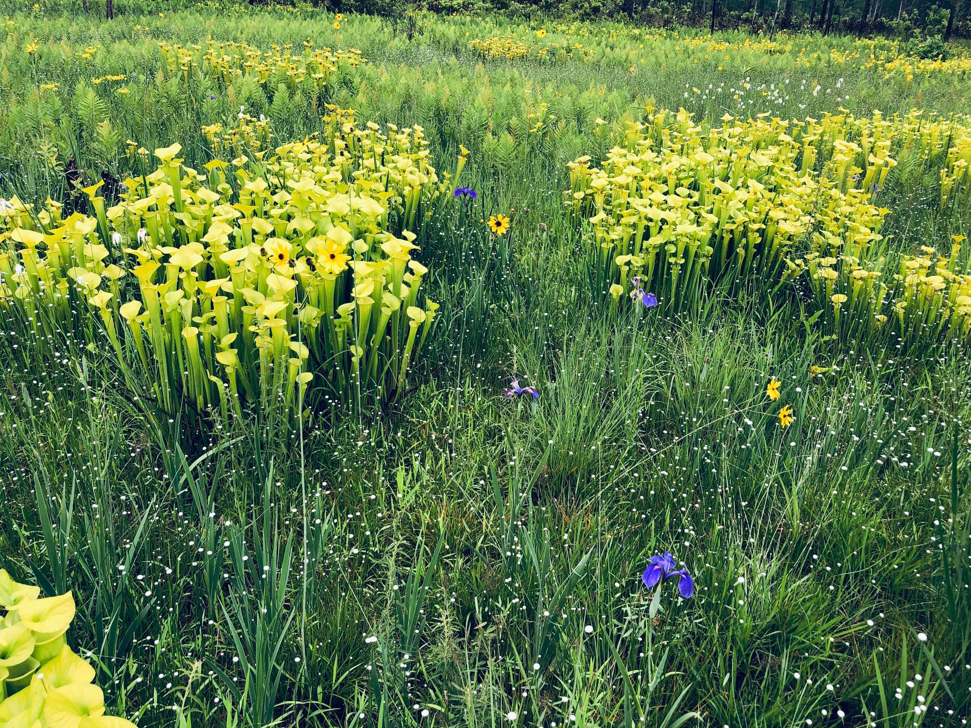
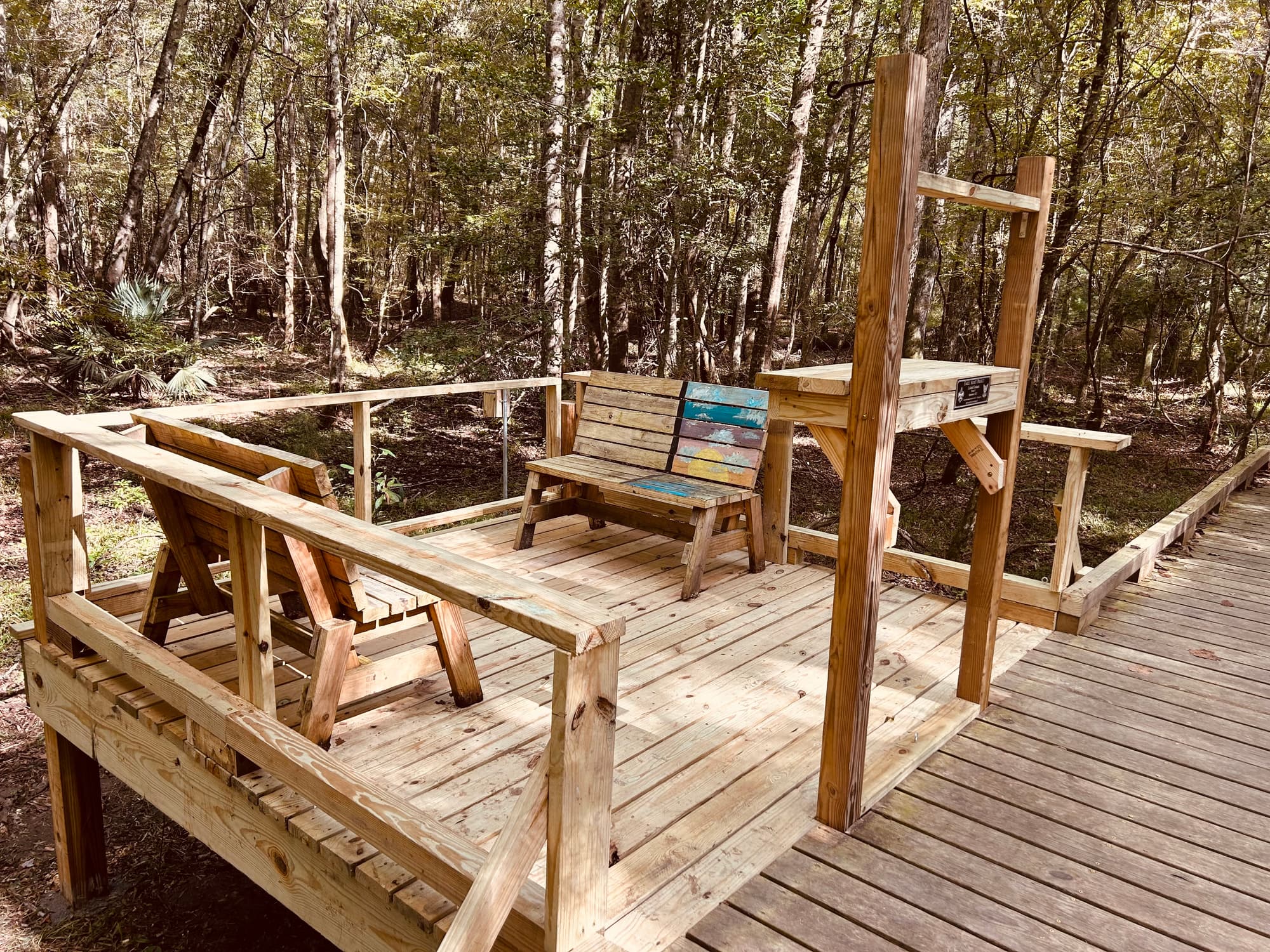
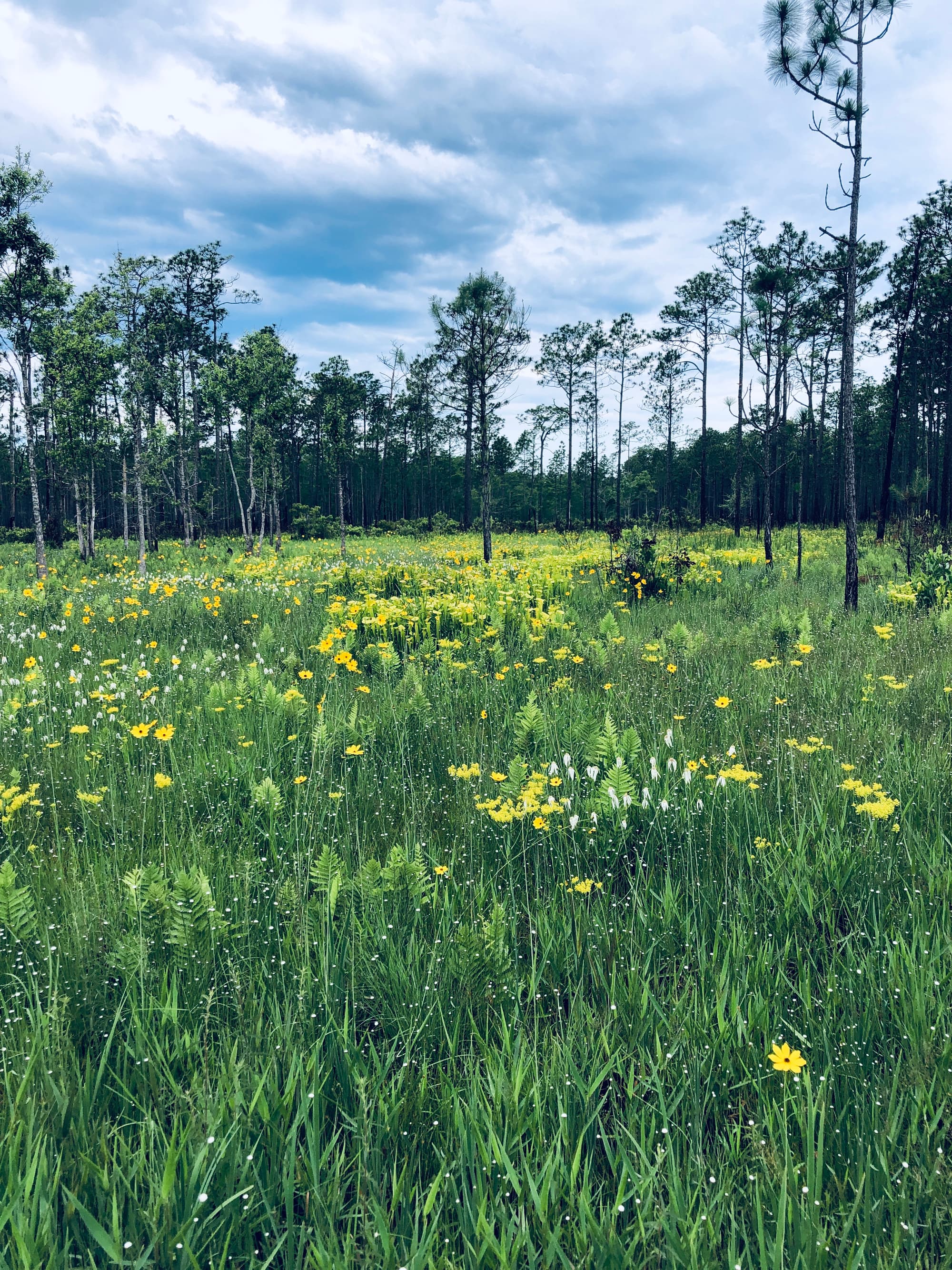
At 47 miles, the Swamp Fox Passage is the longest section of the Palmetto Trail. The Passage traverses four distinct ecosystems through Francis Marion National Forest: swamps, long-leaf pine forests, savannas and cypress pools. The swamps were made famous as hideouts of Revolutionary War hero Francis Marion, the “Swamp Fox”, for whom the trail is named. Areas of mature long-leaf pine forest are home to the endangered red-cockaded woodpecker as well as numerous other species. The grassy savannas, which used to be much more common here, harbor abundant wildlife along the borders of Dog Swamp and Turkey Creek. A cypress pool crossed by a footbridge offers excellent views of the impressive Wadboo Swamp. Wetlands throughout the Passage are crossed by boardwalks or footbridges in order to protect delicate ecosystems, as well as trail users. Primitive camping is available between mile markers 9 and 10, and near mile markers 18, 25, 30, and at the terminus of the Passage on the shore of Lake Moultrie. Access the Wadboo Creek Canoe Trail near mile marker 43. Be aware that during rainy periods parts of the trail can be very wet, or even under water. Mosquitos, not surprisingly, can be a problem–dress accordingly, and wear insect repellent. Three trailheads provide users with options for one long trek or shorter day trips; any access point makes for an enjoyable trip with plenty to see.
NOTICE: There is only one water source on the Swamp Fox Passage, that being the Ranger Station off Steed Creek Road, roughly 1.2 miles west of where Steed Creek Road crosses the trail between mile marker 13 and 14.
Additional Information
USDA Forest Service, Francis Marion Ranger District, 2967 Steed Creek Rd, Huger, SC 29450, ph (843) 336-2200
Sewee Visitor & Environmental Education Center, 5821 Hwy 17 N, Awendaw, SC 29429, ph (843) 928-3368
Directions
Trail Head
Awendaw
Trail Head GPS Coordinates
Below are the GPS coordinates for the trail heads. You can also click on the trail head markers in the map below.
Get directions to this trail head
Latitude: 33.03748484229320
Longitude: -79.61761281615253
Get directions to this trail head
Latitude: 33.16213826792970
Longitude: -79.82996092887822
Get directions to this trail head
Latitude: 33.27794178213568
Longitude: -79.96240873364250
Parking GPS Coordinates
Below are the GPS coordinates for the parking locations. You can also click on the parking markers in the map below.
Get directions to this parking location
Latitude: 33.03735764719804
Longitude: -79.61751800297665
Get directions to this parking location
Latitude: 33.03670672356699
Longitude: -79.66518474197976
Get directions to this parking location
Latitude: 33.05595948789687
Longitude: -79.69543293939955
Get directions to this parking location
Latitude: 33.16226098084180
Longitude: -79.82923542058194
Get directions to this parking location
Latitude: 33.27804306193820
Longitude: -79.96228747332862
Trail Map
Trail Alerts
"
The water source at Halfway Creek campsite, as shown on map section 1, has been removed.
No water is available at the Witherbee Ranger Station trailhead, as shown on map section 3.
No restrooms or water are available at the US Hwy 52 trailhead. The former Canal Recreation Area has been closed and decommissioned.
