Roundtop Mountain Passage

Roundtop Mountain Passage
Trail Description
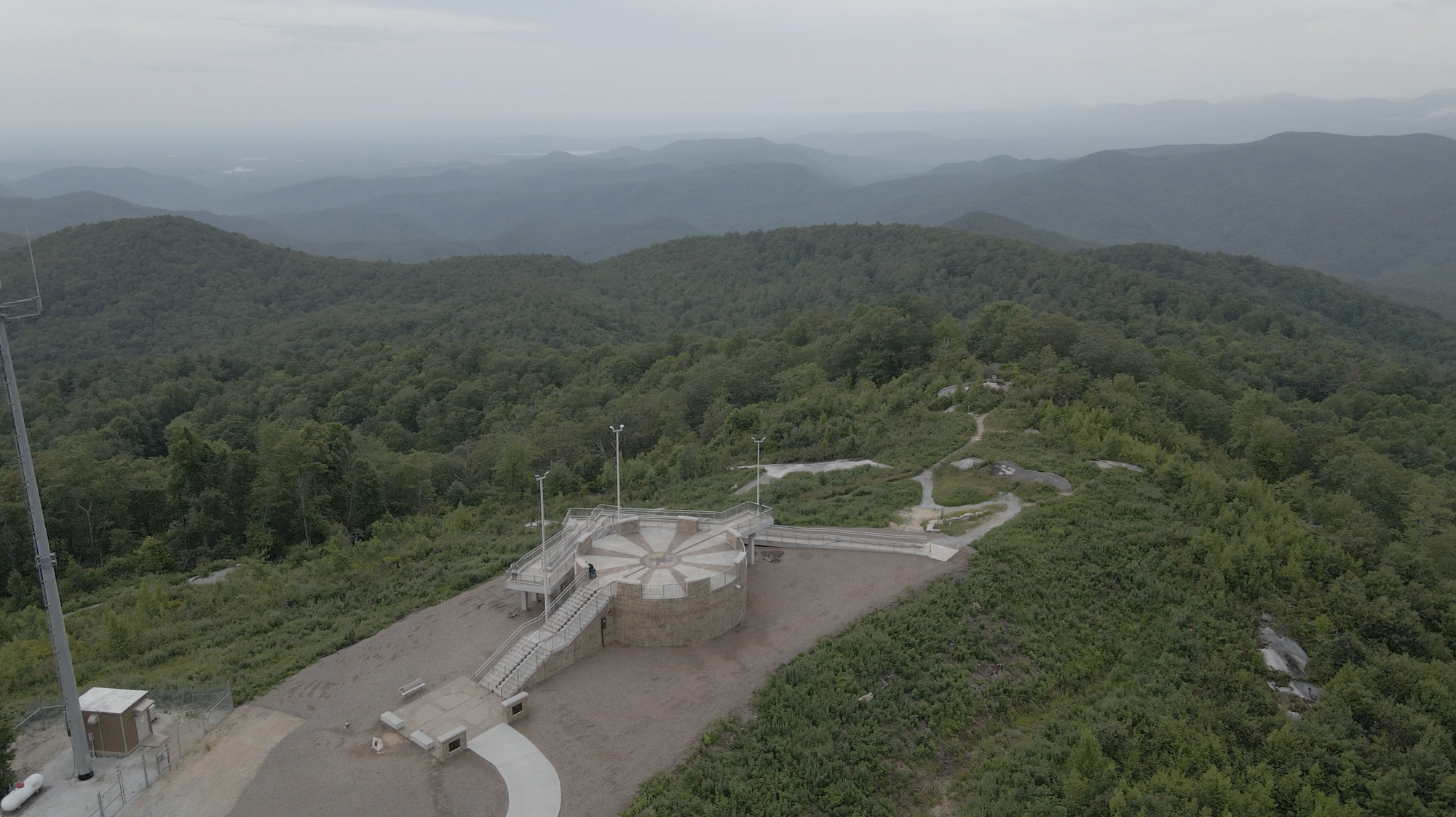
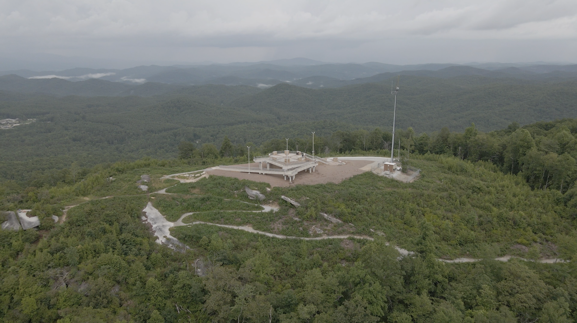
This Passage is accessed via the Sassafras Mountain parking lot and a short portion of the Foothills Trail. Park at Sassafras Mountain and take time to visit the observation point marking the highest spot in South Carolina. After enjoying views into Georgia and North Carolina, (and on a very clear day, Tennessee) begin your hike on the Foothills Trail, a short walk down the road to the trail entrance on the left with a Palmetto Trail sign. Continue on the Foothills Trail for almost 1 mile and look for The Palmetto Trail entrance sign and kiosk on the right. The trail leads through a mature forest of mixed hardwoods, pine and the remnants of large hemlocks killed by the Hemlock Wooly Adelgid. This insect is killing unprotected Eastern and Carolina hemlocks in the Southeast. In this area, many large Carolina Hemlocks have been treated to protect them. In winter there are good views of Lakes Jocassee and Keowee. In approximately 1 1/4 miles the new Carolina Hemlock Loop trail leads off on the right and continues another 1 1/4 miles to join with the original route at the bottom of a set of steps. The way back to the “top” and Sassafras Mountain parking area is to the left. Note that the return hike is mostly uphill and steep at times. Be prepared for unpredictable mountain weather. Most importantly, be aware that the entire Passage is located on SC Department of Natural Resources game lands and during hunting seasons all hikers must wear a blaze orange hat or vest for safety as mandated by SC law.
Tip: By using the Palmetto Trail and the Foothills Trail, hikers can begin at Jones Gap State Park and hike to Sassafras Mountain, or begin at Table Rock State Park and hike the Blue Ridge Electric Co-op Passage, the Roundtop Mountain Passage, and the Foothills Trail back to Table Rock State Park for a 23+mile loop hike.
Directions
Trail Head
Remote passage that intersects with the Foothills Trail and Blue Ridge Electric Co-op Passage
Trail Head GPS Coordinates
Below are the GPS coordinates for the trail heads. You can also click on the trail head markers in the map below.
Get directions to this trail head
Latitude: 35.05448629249157
Longitude: -82.77024667894322
Get directions to this trail head
Latitude: 35.03253191573796
Longitude: -82.76443403933119
Parking GPS Coordinates
Below are the GPS coordinates for the parking locations. You can also click on the parking markers in the map below.
Get directions to this parking location
Latitude: 35.06429641628542
Longitude: -82.77653258142797
Trail Map
Trail Alerts
Dogs must be leashed at all times.
If backpacking, remember to hang food in bear bags.
Remember to bring trash and waste bags to pack out everything that comes in with you, and Leave No Trace.
No metal detectors allowed.