Lake Marion Passage
Lake Marion Passage
Trail Description
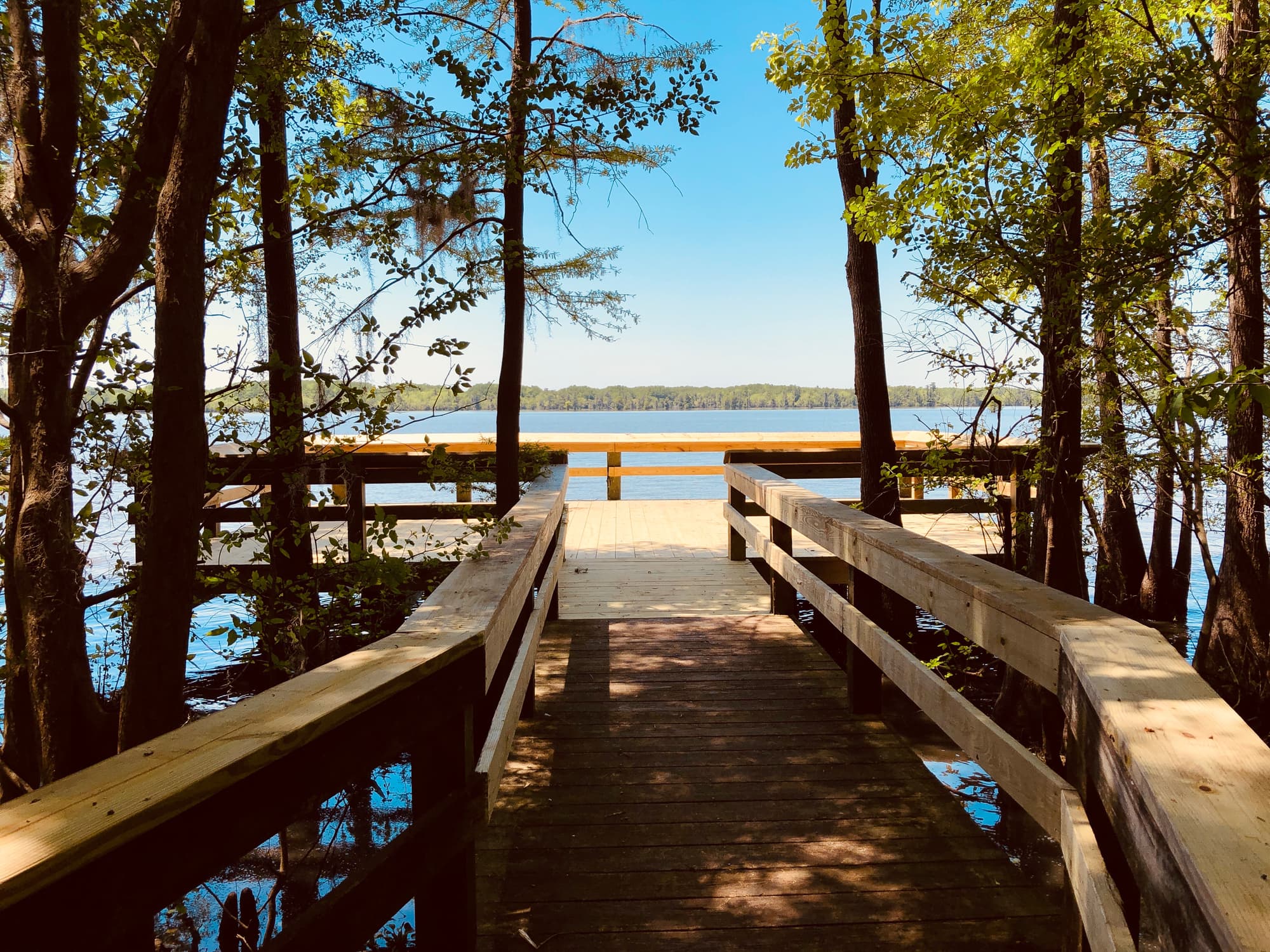
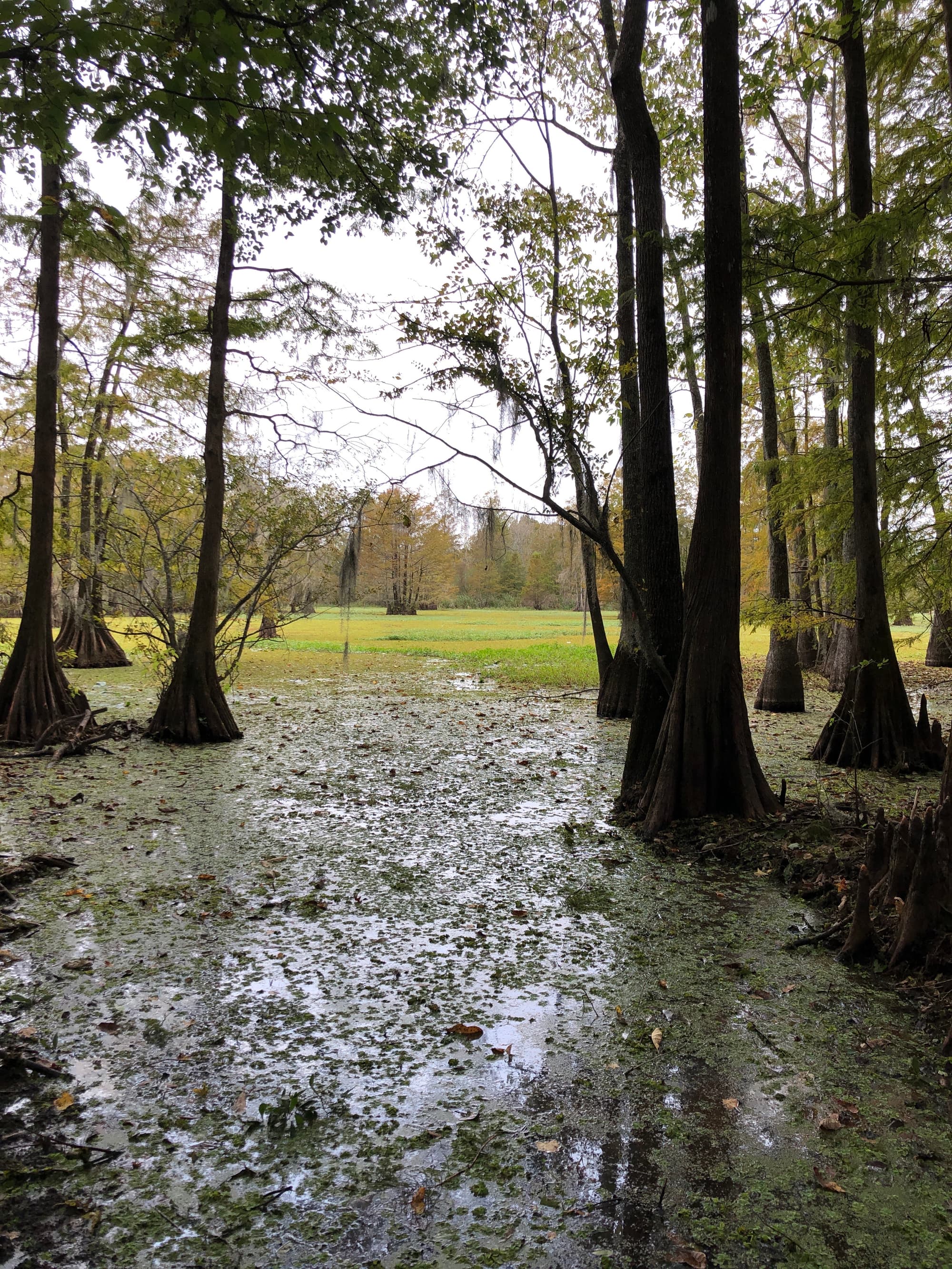
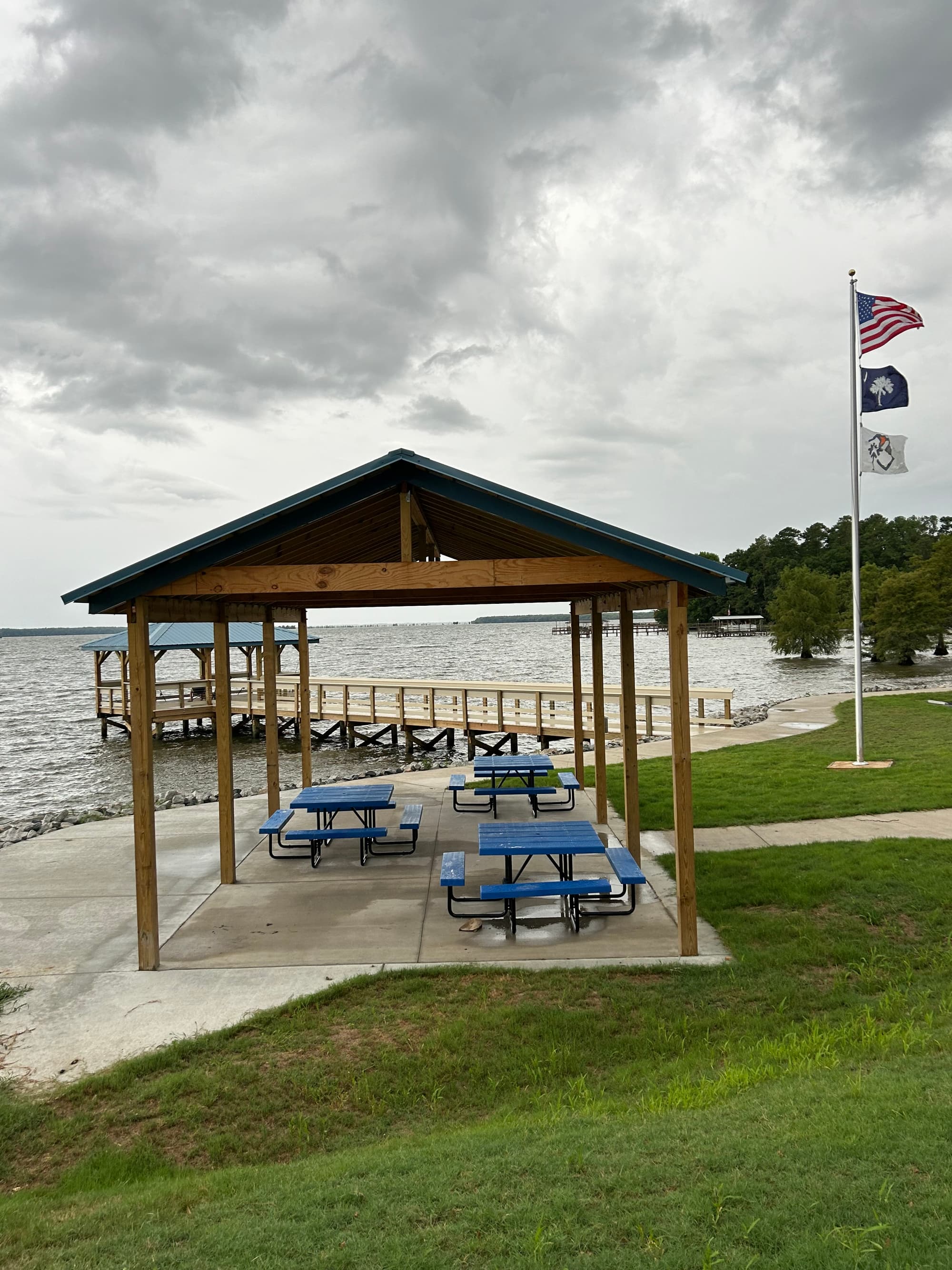
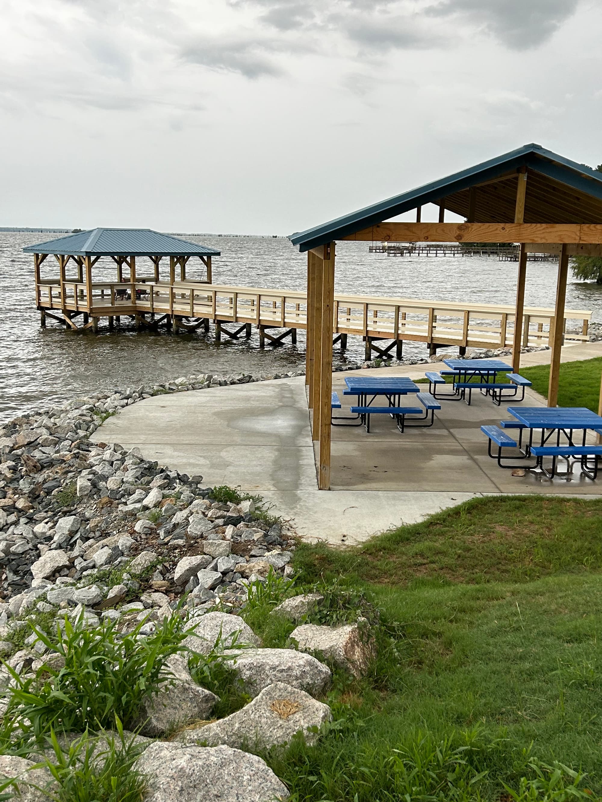
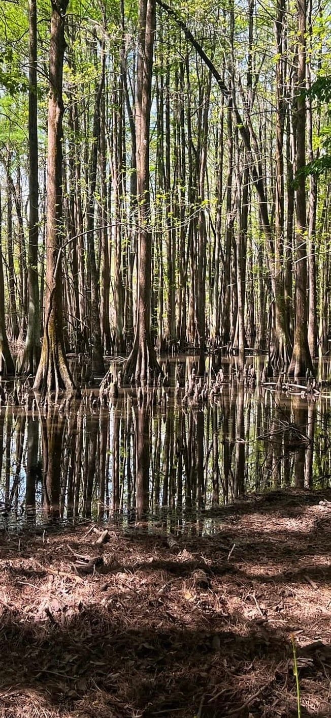
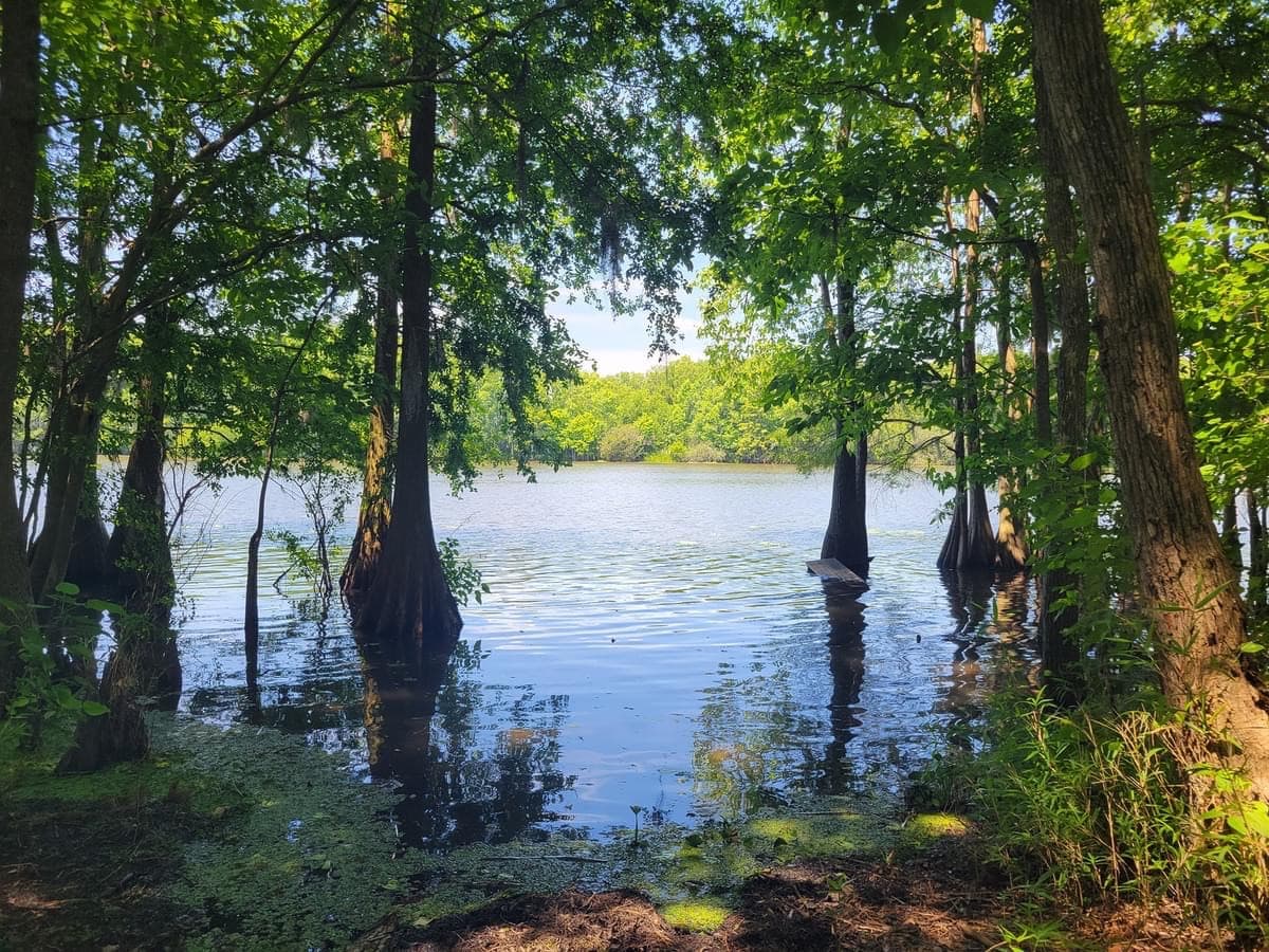
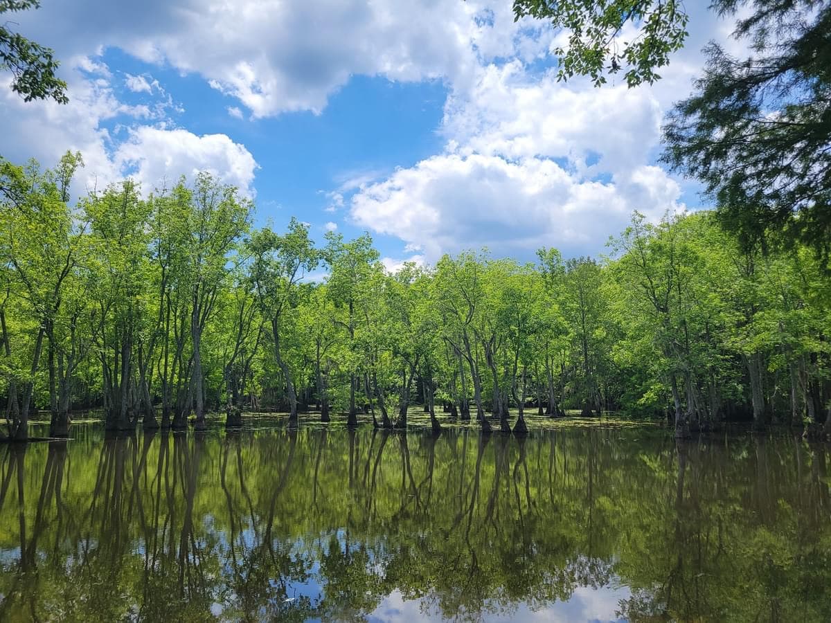
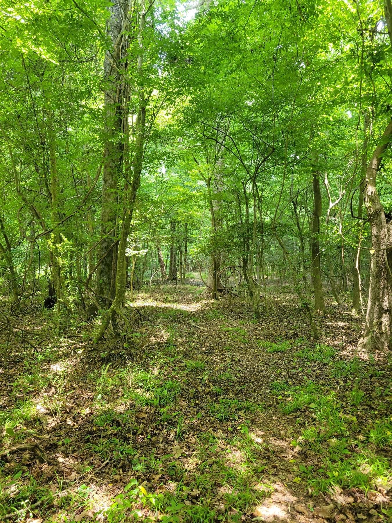
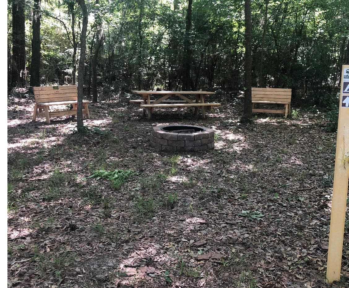
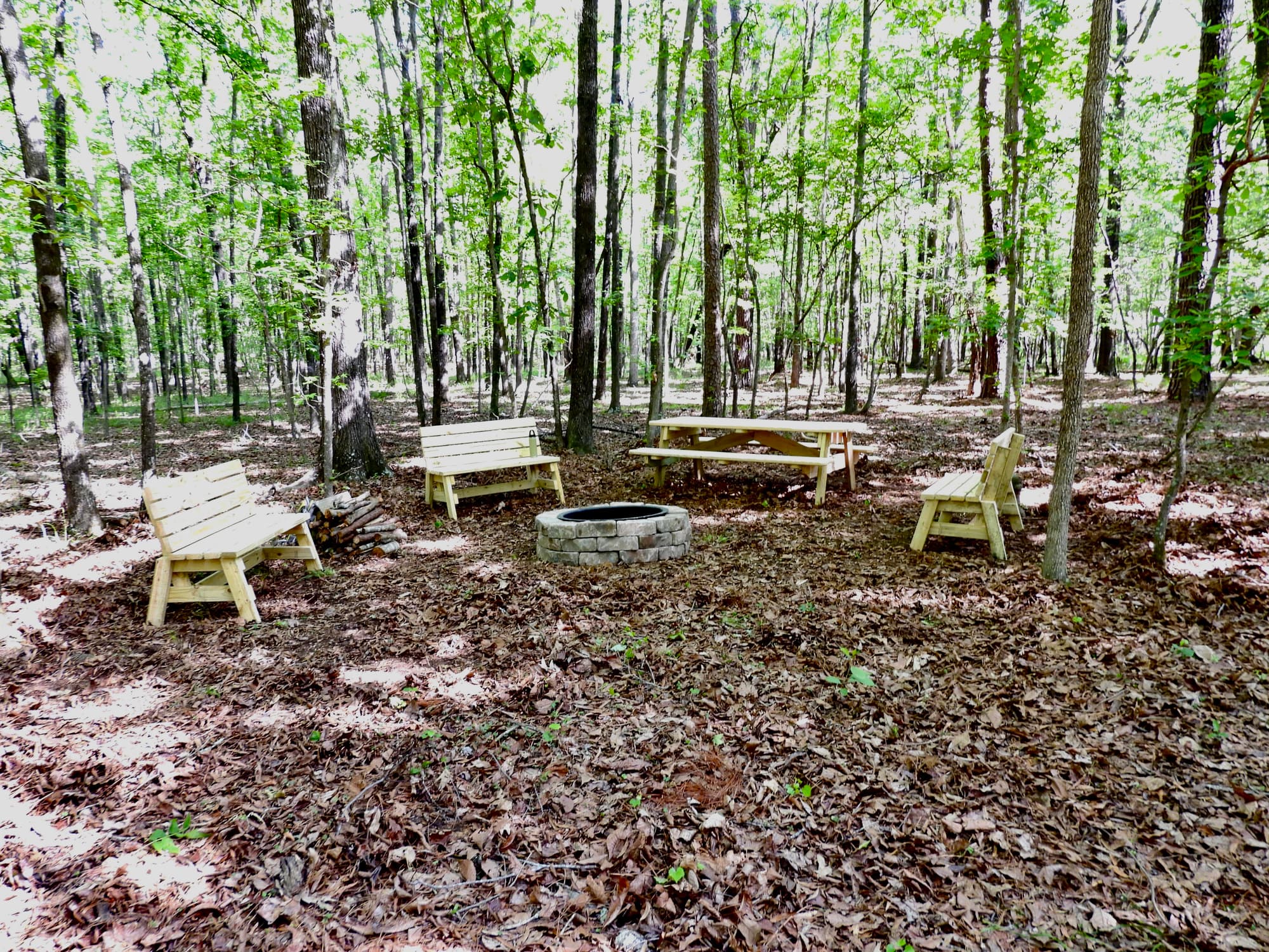
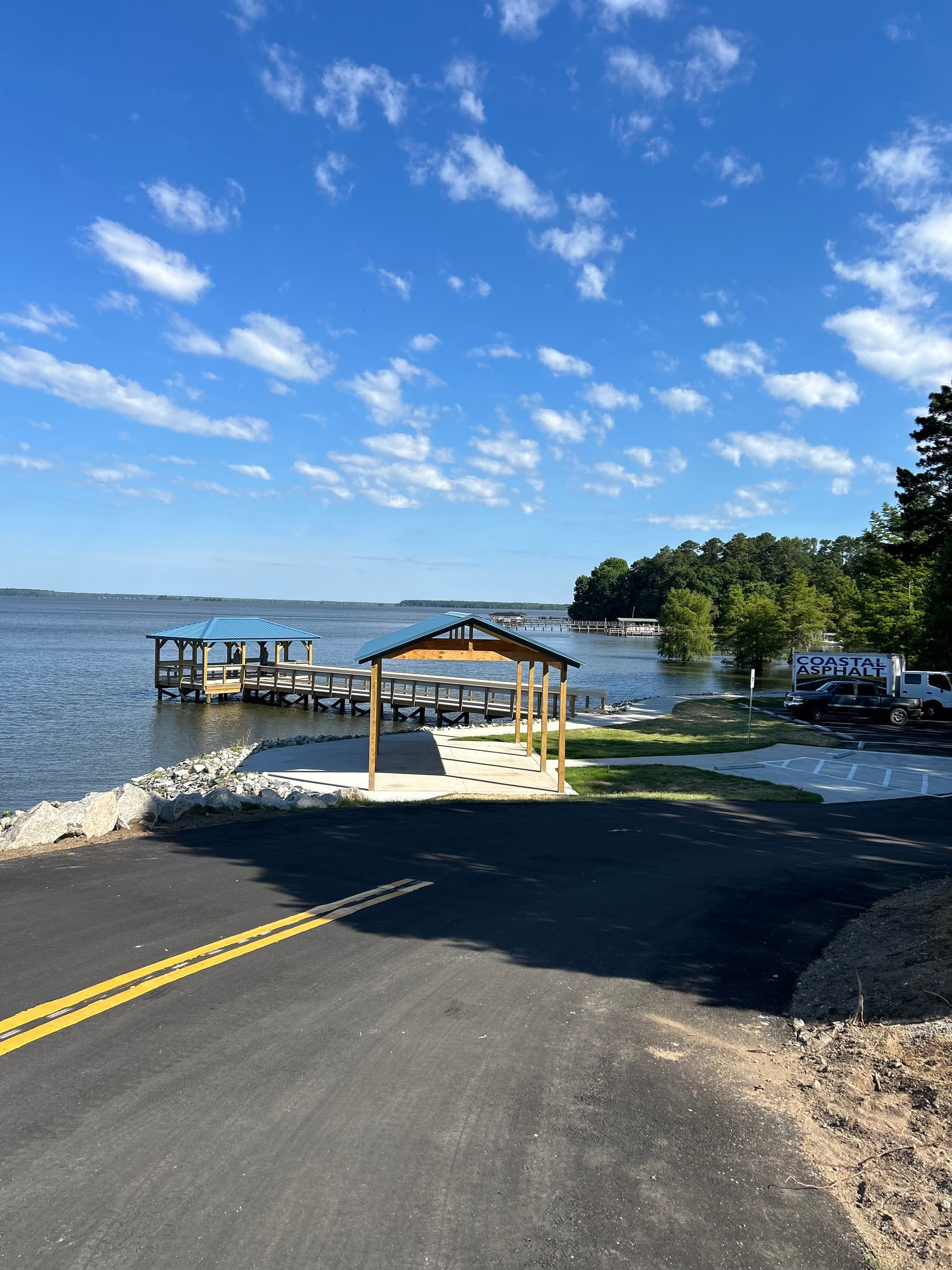
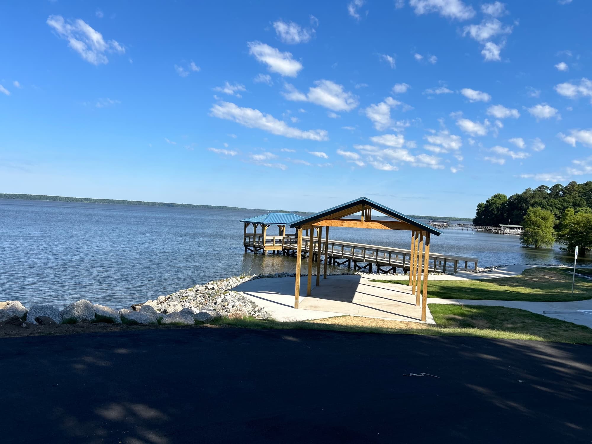
Lake Marion Passage skirts along the high-water mark of the lake’s north side between Santee, SC, and Mill Creek County Park. Trail users are rewarded with magnificent vistas of the upper coastal plain and opportunities to spot abundant wildlife and colorful flora, especially in the spring rainy season.
Additional Information
Manchester State Forest, 7640 Headquarters Rd, Wedgefield, SC 29168, ph (803) 494-8196
Mill Creek County Park, 7975 Millford Plantation Rd, Pinewood, SC 29125, ph (803) 436-2248
Santee Cooper Land Division, One Riverwood Dr, Moncks Corner, SC 29461, ph (843) 761-8000
Santee National Wildlife Refuge, 2125 Fort Watson Rd, Summerton, SC 29148, ph (803) 478-2217
Directions
Trail Head
Santee
Trail Head GPS Coordinates
Below are the GPS coordinates for the trail heads. You can also click on the trail head markers in the map below.
Get directions to this trail head
Latitude: 33.73901317425984
Longitude: -80.52301980744244
Get directions to this trail head
Latitude: 33.47435696852804
Longitude: -80.48185841978847
Parking GPS Coordinates
Below are the GPS coordinates for the parking locations. You can also click on the parking markers in the map below.
Get directions to this parking location
Latitude: 33.73595633397392
Longitude: -80.52158388766490
Get directions to this parking location
Latitude: 33.47470826392598
Longitude: -80.48175867910487
Get directions to this parking location
Latitude: 33.65985685448226
Longitude: -80.51465024104935
Get directions to this parking location
Latitude: 33.61892268262404
Longitude: -80.48644435040673
Get directions to this parking location
Latitude: 33.59741432175167
Longitude: -80.46701850751472
Get directions to this parking location
Latitude: 33.70146026445756
Longitude: -80.53679802404054
Trail Map
Trail Alerts
Dogs must be leashed at all times.
If backpacking, remember to hang food in bear bags.
Remember to bring trash and waste bags to pack out everything that comes in with you, and Leave No Trace.
No metal detectors allowed.