Enoree Passage
Enoree Passage
Trail Description
The Enoree Passage crosses 26 miles of the Sumter National Forest, linking Newberry, Laurens, and Union counties. The southern trailhead is located at the end of Forest Service Road 379 (Chandler Road) off Old Whitmire Road (SR 81). The Palmetto Trail winds 4 miles through pine ridges and hardwood bottomlands, and crosses Gilders Creek and Indian Creek before joining Buncombe Horse Trail. From this point to Brick House Campground, hikers and bicyclists share the trail with equestrians.
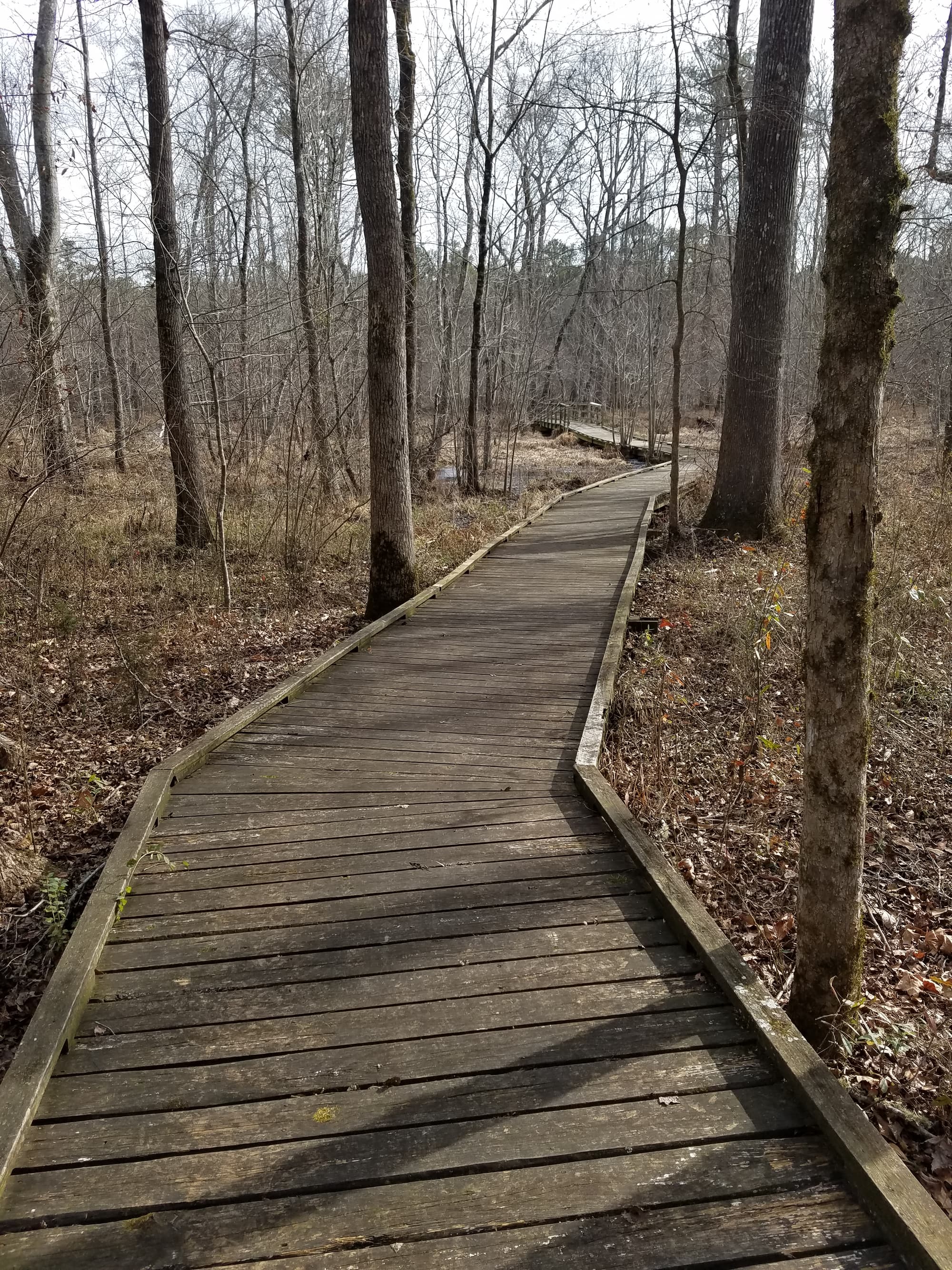
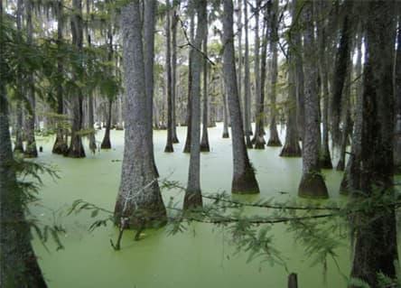
Buncombe trailhead for equestrians is located at Brick House Recreation Area (mile 14) and accessed from SC 66. There is access to the National Forest’s network of OHV (Off Highway Vehicle) trails between mile markers 18 and 20. Heading north, the Trail meanders through some of the most diverse habitats located in the Enoree Ranger District, including a beaver pond, numerous hardwood drains, and the Enoree River corridor. Take a break on the 80-foot bridge for superb views of the river, and stop to fish in Macedonia, Sedalia, and John’s Creek lakes on the way to the northern trailhead at Sedalia Campground.
Additional Information
Trailhead parking: Day users go to Buncombe/Palmetto Trailhead Day use parking area.
Camping at Sedalia and Brick House.
The Palmetto Trail shares the Buncombe Horse Trail for 10 miles, from the pipeline (mile 4.2) to Brick House Recreation Area.
USDA Forest Service-Sumter National Forest
20 Work Center Road
Whitmire, SC 29178
Office: (803) 276-4810
Directions
Trail Head
Newberry
Trail Head GPS Coordinates
Below are the GPS coordinates for the trail heads. You can also click on the trail head markers in the map below.
Get directions to this trail head
Latitude: 34.36310656659931
Longitude: -81.64485293852111
Get directions to this trail head
Latitude: 34.63033415623119
Longitude: -81.73859190100679
Parking GPS Coordinates
Below are the GPS coordinates for the parking locations. You can also click on the parking markers in the map below.
Get directions to this parking location
Latitude: 34.36324753277229
Longitude: -81.64462179187467
Get directions to this parking location
Latitude: 34.63088853946978
Longitude: -81.73823025910151
Trail Map
Trail Alerts
1) Indian Creek Bridge at mile 5
2) Beaver Pond boardwalks at mile 20.5
3) Duncan Creek boardwalk at mile 24.5
4) Enoree River boardwalk at mile 30.
Dogs must be leashed at all times.
If backpacking, remember to hang food in bear bags.
Remember to bring trash and waste bags to pack out everything that comes in with you, and Leave No Trace.
No metal detectors allowed.