Saluda Mountains Passage
Saluda Mountains Passage
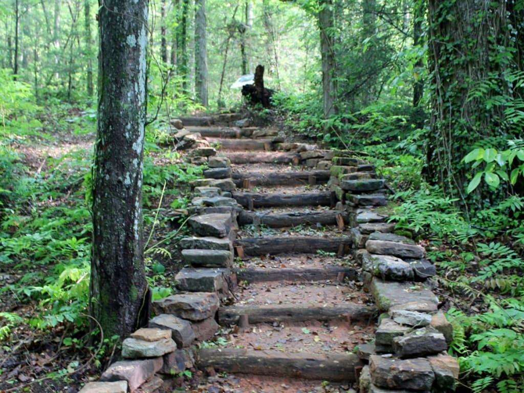
Trail Description
Saluda Mountain Passage runs along the ridge defining the northern perimeter of the Poinsett Watershed and the border between the Carolinas. The 19,000-acre watershed is a pristine wilderness area with remarkable habitat for rare plants and animals, including the threatened Peregrine falcon. Greenville Water System (GWS) owns the tract, which drains the headwaters of the North Saluda River into Poinsett Reservoir. GWS permits hiking, but enforces strict rules in exchange for access. Please help us keep this Passage open by following the rules posted at all Palmetto Trail kiosks and available online. Note that many organisms in the streams have low tolerance for pollution. Practicing “Leave No Trace” is essential in this extraordinary ecosystem. The Passage trailhead connects with Poinsett Reservoir Passage at Orchard Lake Campground. This Passage is hiking only–no motorized vehicles or bicycles. In addition, be sure to park only in designated areas and do not park on Heatherly Heights Road. No camping, fires, firearms or alcoholic beverages are permitted on the passage.
Directions
Trail Head
Trailheads at Orchard Lake Campground and below the Talisman Camp
Trail Head GPS Coordinates
Below are the GPS coordinates for the trail heads. You can also click on the trail head markers in the map below.
Get directions to this trail head
Latitude: 35.19807338668917
Longitude: -82.35084492346900
Get directions to this trail head
Latitude: 35.18367789401197
Longitude: -82.43406614493483
Parking GPS Coordinates
Below are the GPS coordinates for the parking locations. You can also click on the parking markers in the map below.
Get directions to this parking location
Latitude: 35.19700415694015
Longitude: -82.35207752708867
Get directions to this parking location
Latitude: 35.18384092008492
Longitude: -82.43407567476518
Trail Map
Trail Alerts
Dogs must be leashed at all times.
If backpacking, remember to hang food in bear bags.
Remember to bring trash and waste bags to pack out everything that comes in with you, and Leave No Trace.
No metal detectors allowed.