Lake Moultrie Passage
Lake Moultrie Passage
Trail Description
NOTICE: Palmetto Trail Spur Closed! November 1 - February 8 to prevent disturbance of migratory Waterfowl. Area is open to Public Deer Hunting. September 15 - October 15. Trail users should excercise caution. High visibility clothing is recommended.
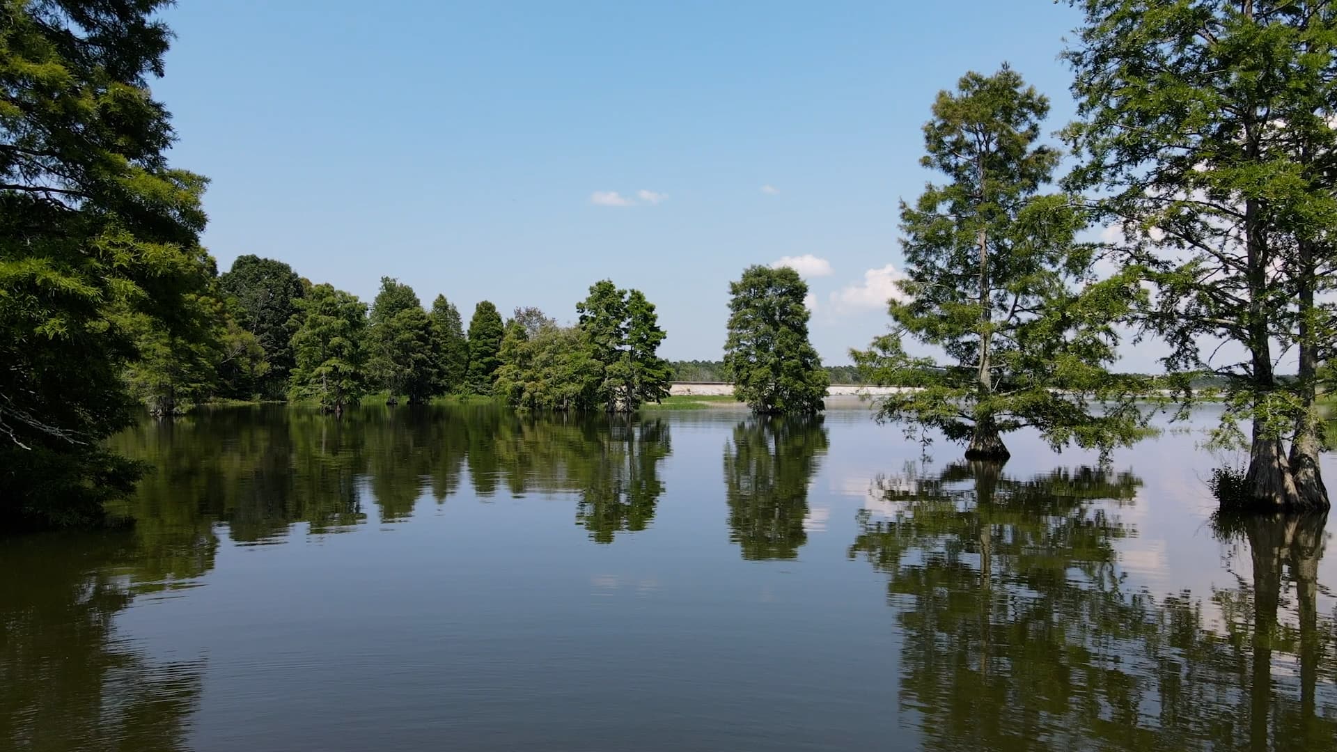
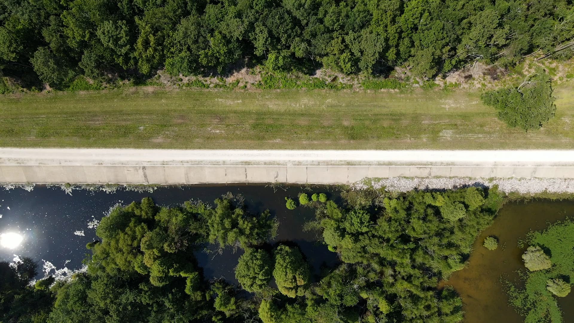
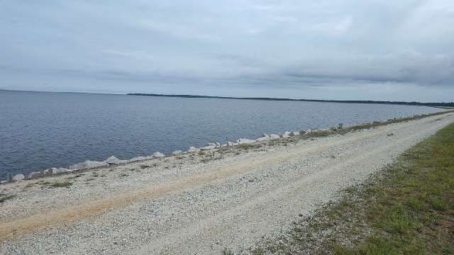
Scenic and popular Lake Moultrie Passage begins in the Francis Marion National Forest, then hugs the eastern and northern shores of 60,000-acre Lake Moultrie. The panoramic views are spectacular. Much of the Passage shares Santee-Cooper’s service roads on the lake’s earthen levees, which makes the trail a favorite with mountain bikers. From the Hwy 52 trailhead, a short hike through pine forest opens to the Pinopolis East Dike, a perfect place for admiring sunsets. After a walk through Bonneau Beach, the trail continues along the north-shore dike system until it crosses historic Santee Canal, last used in the 1850’s. The last few miles pass through a mature hardwood and pine forest that includes fascinating swamp terrain around Bulltown Bay. Other points of interest along the Passage include the SC Department of Natural Resources Bonneau Fish Hatchery and Hatchery Wildlife Management Area, and the Rediversion Canal, meant to solve several problems created by the original diversion of Santee River water into the Cooper River. There are boat launches at Bonneau Beach and at the Rediversion Canal between mile markers 12 and 13 , and canoe/kayak launches between mile markers 8 and 9 and by the bridge between mile markers 22 and 23. The Sandy Beach Spur Trail, open March 3 - November 15 takes you to a spit of land jutting into the lake, with primitive camping available. Additional primitive camping is half a mile past the Rt. 52 trailhead, down a service road near mile post 9, and near mile post 18. Note that there is no potable water available at any of the primitive campsites, so be sure to bring enough with you.
Additional Information
Contact Supervisor-Forestry & Undeveloped Lands, Santee Cooper Land Division, One Riverwood Dr, Moncks Corner, SC 29461, ph (843) 761-8000.
Directions
Trail Head
Bonneau
Trail Head GPS Coordinates
Below are the GPS coordinates for the trail heads. You can also click on the trail head markers in the map below.
Get directions to this trail head
Latitude: 33.27776262788156
Longitude: -79.96238043364663
Get directions to this trail head
Latitude: 33.38157744726659
Longitude: -80.13421965573777
Parking GPS Coordinates
Below are the GPS coordinates for the parking locations. You can also click on the parking markers in the map below.
Get directions to this parking location
Latitude: 33.27770567611778
Longitude: -79.96244883648561
Get directions to this parking location
Latitude: 33.31185317647451
Longitude: -79.99750009733215
Get directions to this parking location
Latitude: 33.40095179484847
Longitude: -79.99277962710886
Get directions to this parking location
Latitude: 33.38139149519478
Longitude: -80.13463502189440