Eutaw Springs Passage

Eutaw Springs Passage
Trail Description
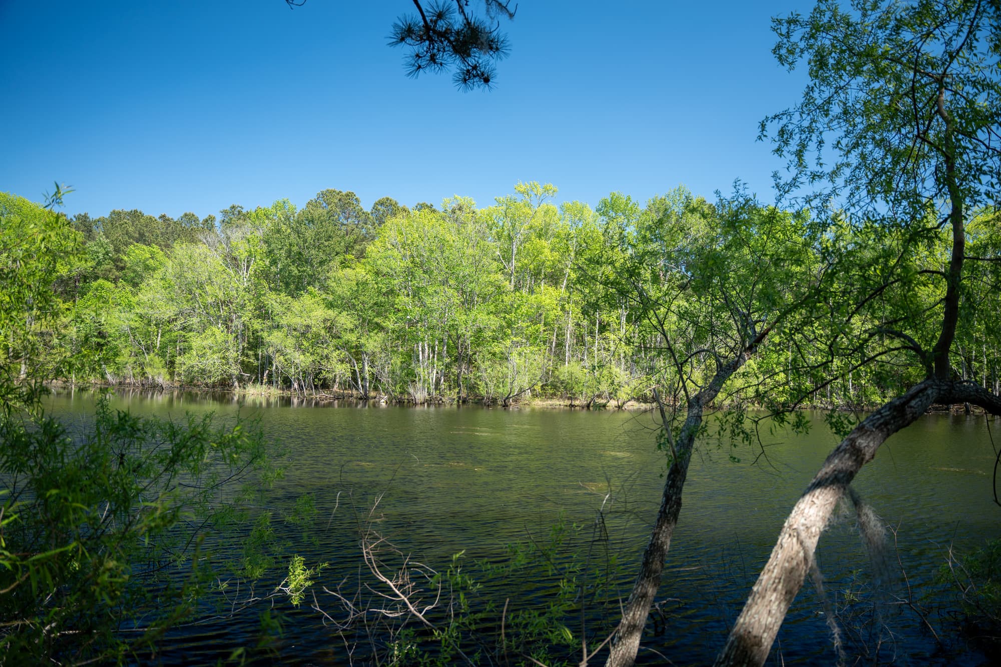
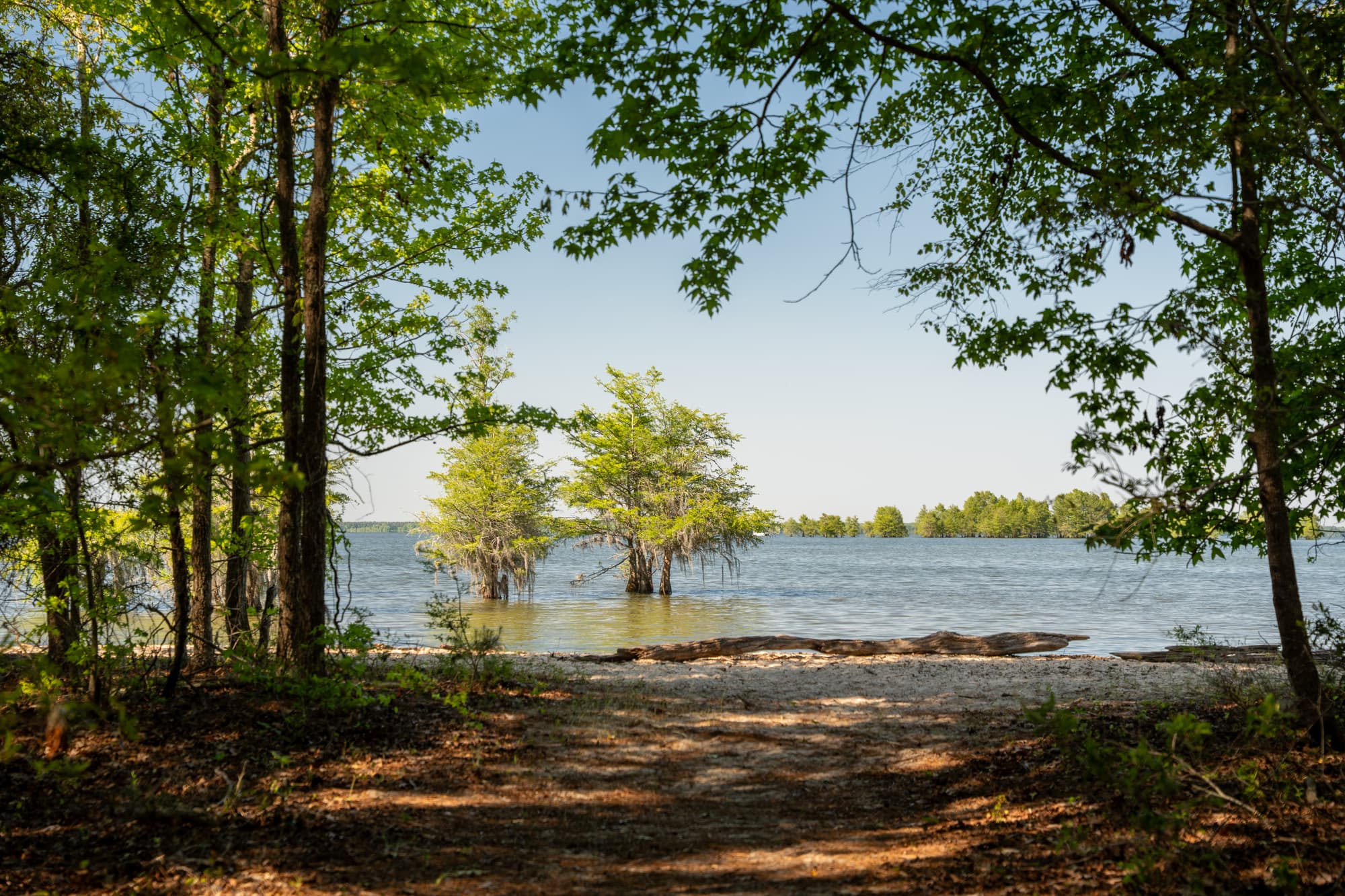
This Passage is one of many that highlights the role South Carolina played in the Revolutionary War. Watch for signage near mile marker 17 honoring the Battle of Eutaw Springs. This battle was the last major engagement of the war in the Carolinas–and interestingly, both sides claimed victory. A walk through pastures and shaded dirt roads brings you to the town of Eutawville, where shops can meet your resupply needs. A spur trail off Fredcon Road beginning near mile marker 14 meanders through Santee-Cooper Wildlife Management Refuge from low swampy areas to the southern edges of Lake Marion. If you take the full spur trail, it will add about five miles to the passage.
Additional Information
Santee-Cooper Wildlife Management Area is open March through September, and may be muddy or flooded at times. Watch for signs.
Hiker-recommended for supplies and phone recharge—Cross Food Mart, 1883 Old Hwy 6, Cross, SC 29436, ph (843) 749-0739
Great local fare and staff favorite (including ’gator and shrimp)—Becca’s Soul Food, Eutawville, SC, ph (803) 492-9526
Places to eat:
The Twirl – 12223 Old No. 6 Hwy/Eutawville, SC 29048/ (803)492-3419
Subway – 12340 Old Number 6 Hwy/Eutawville, SC 29048/ (803) 492-7270
Directions
Trail Head
Pineville/Cross on SC45
Trail Head GPS Coordinates
Below are the GPS coordinates for the trail head. You can also click on the trail head markers in the map below.
Get directions to this trail head
Latitude: 33.38191208144795
Longitude: -80.13433245785623
Parking GPS Coordinates
Below are the GPS coordinates for the parking location. You can also click on the parking markers in the map below.
Get directions to this parking location
Latitude: 33.39278804334851
Longitude: -80.34912158118946
Get directions to this parking location
Latitude: 33.38155465462286
Longitude: -80.13471087506119
Get directions to this parking location
Latitude: 33.40719271707757
Longitude: -80.29871853366690
Trail Map
Trail Alerts
Dogs must be leashed at all times.
If backpacking, remember to hang food in bear bags.
Remember to bring trash and waste bags to pack out everything that comes in with you, and Leave No Trace.
No metal detectors allowed.