Eastatoe Passage
Eastatoe Passage
If you are on state park property, camping is only allowed in designated sites. This includes Ross Mtn, Oconee Connector, Eastatoe, Blue Ridge Electric Co-op and Middle Saluda. If a hiker is on either SCDNR or USFS property, primitive camping is allowed but the camper is responsible for following the regulations of the managing agency.
In accordance to the State Parks, there are fees to enter Keowee-Toxaway State Park.
Only on the SCDNR section of the Eastatoe Passage.
Trail Description
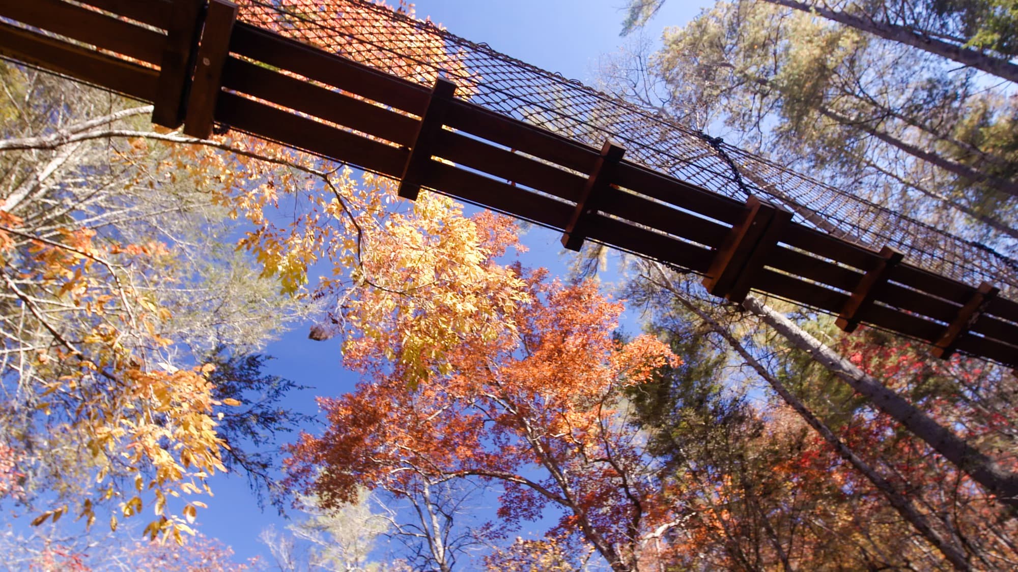
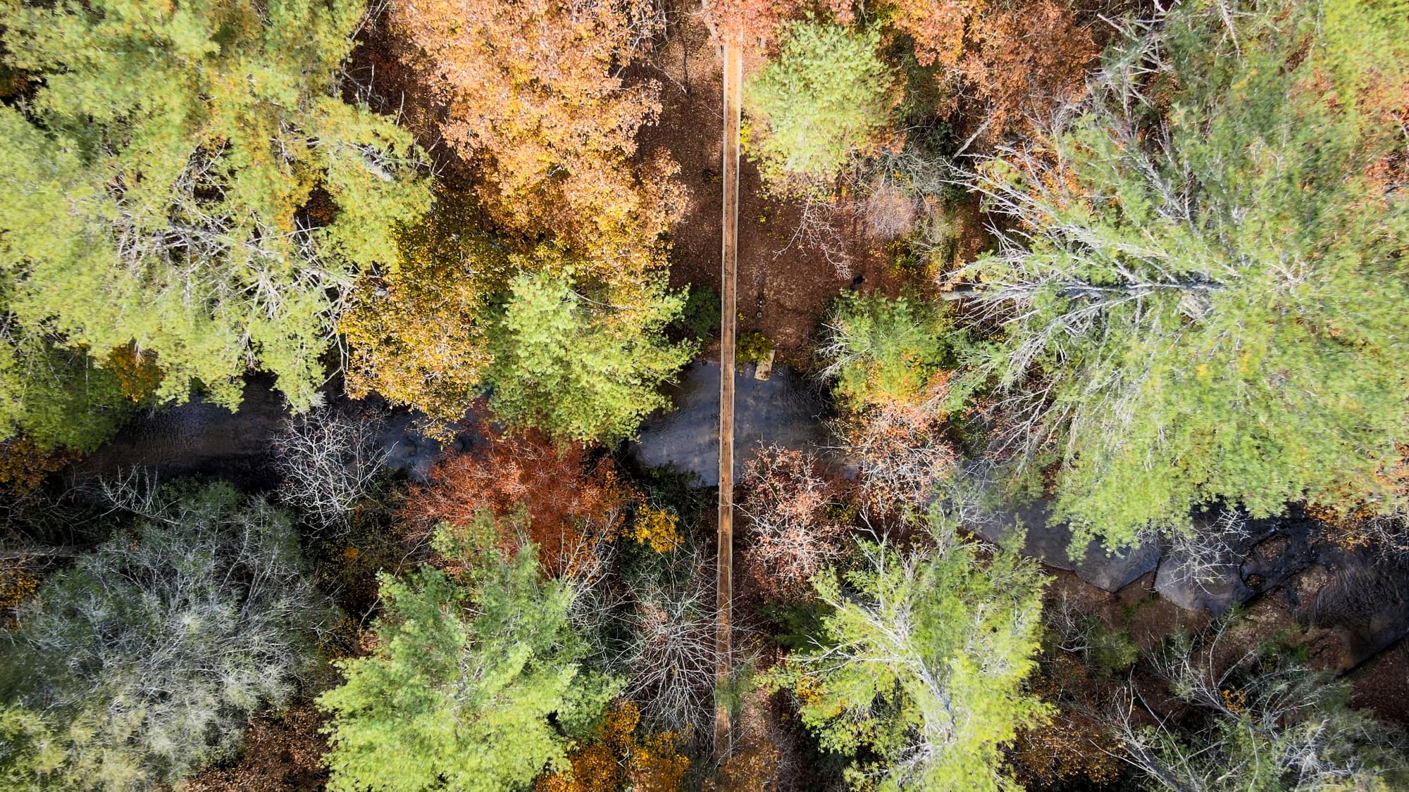
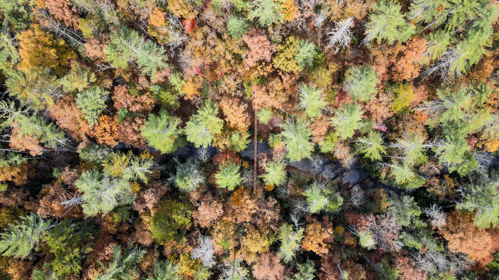
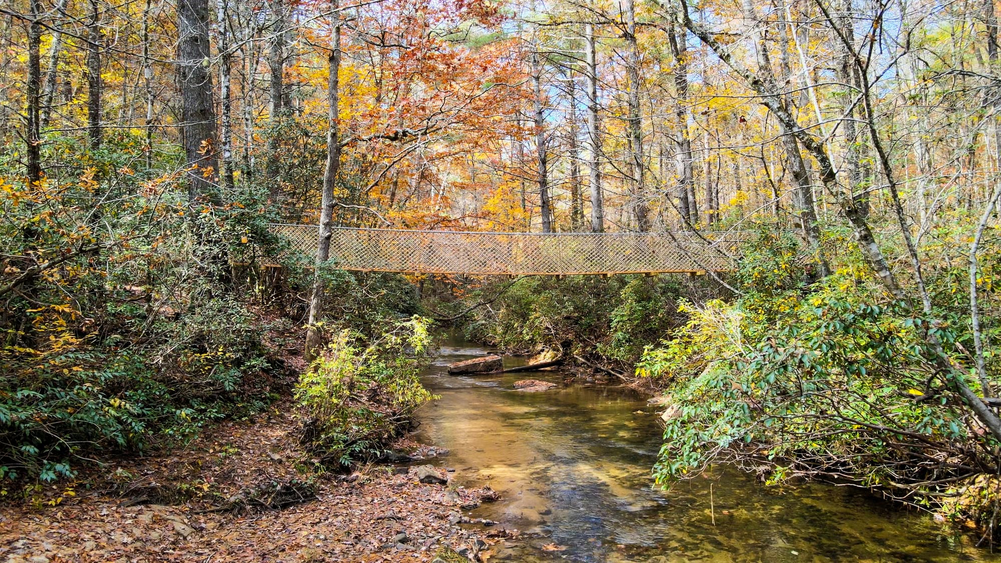
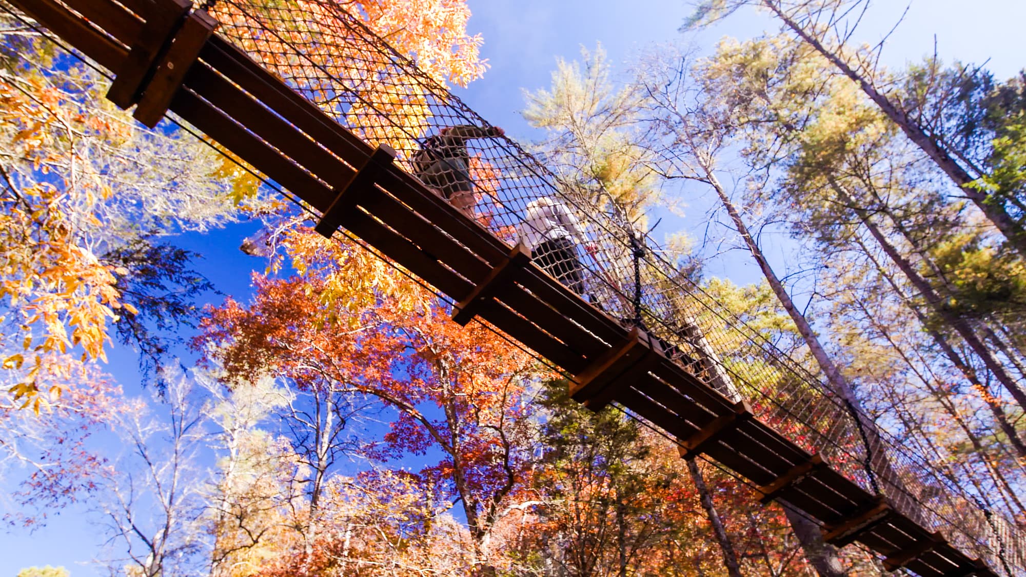
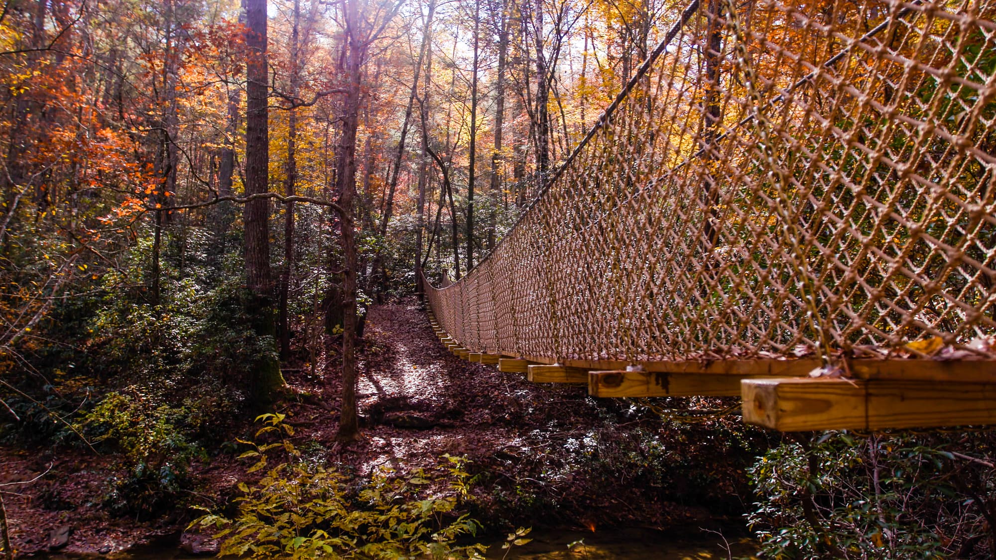
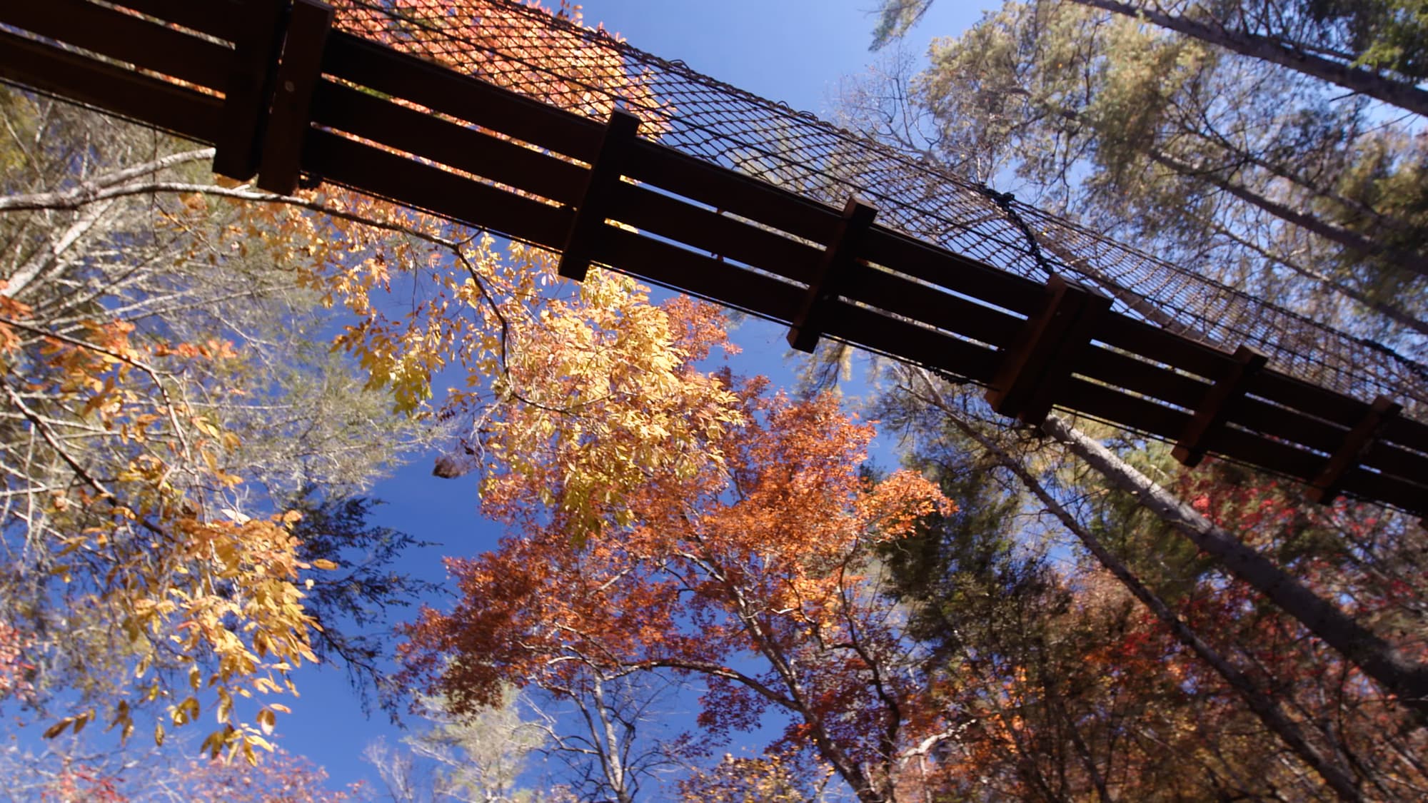
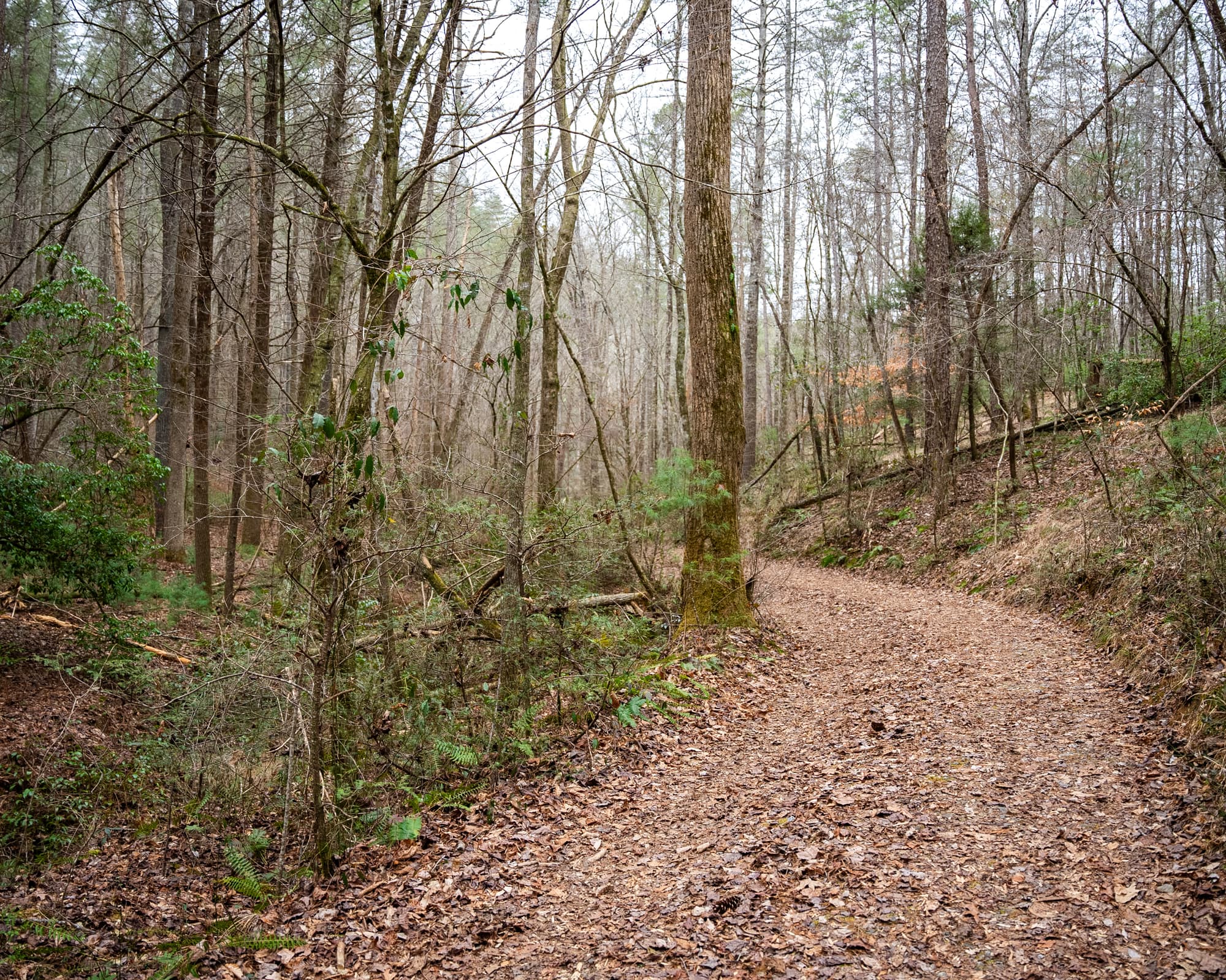
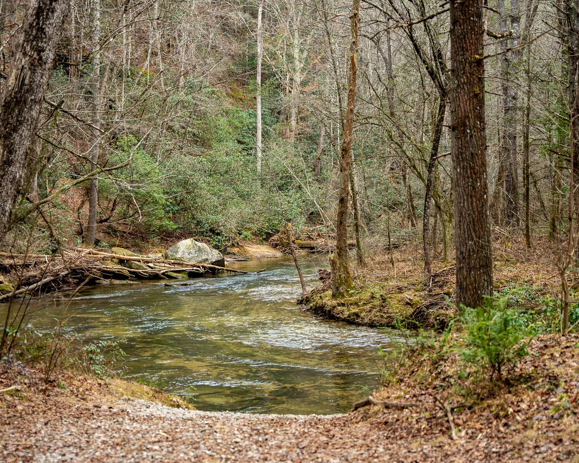
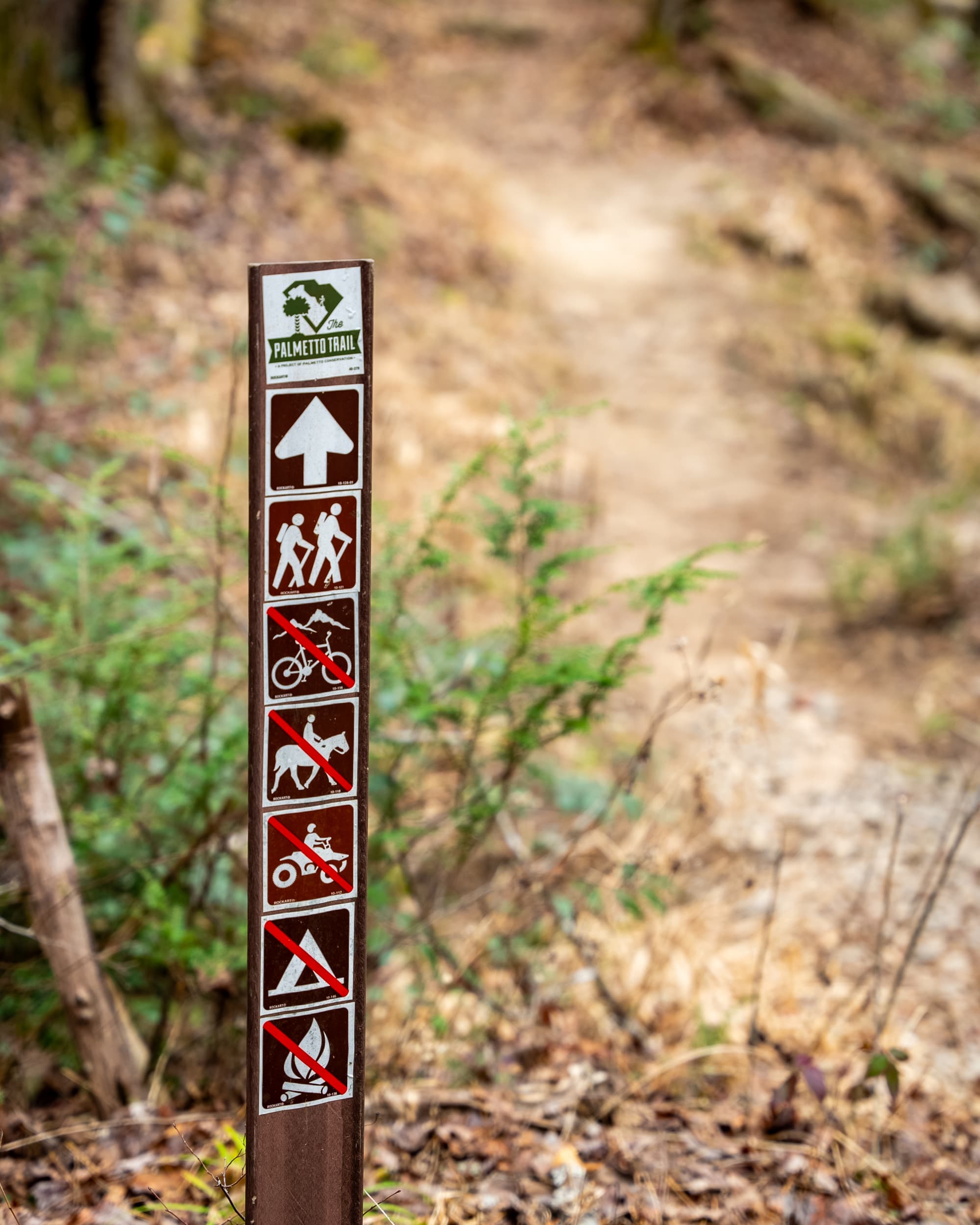
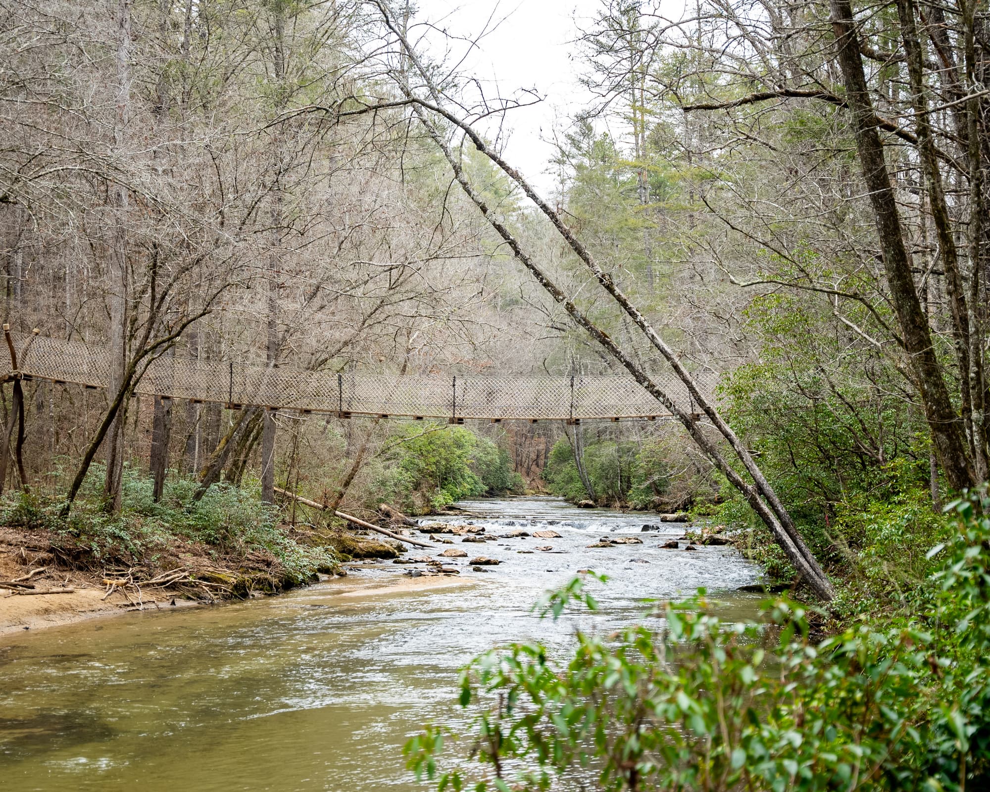
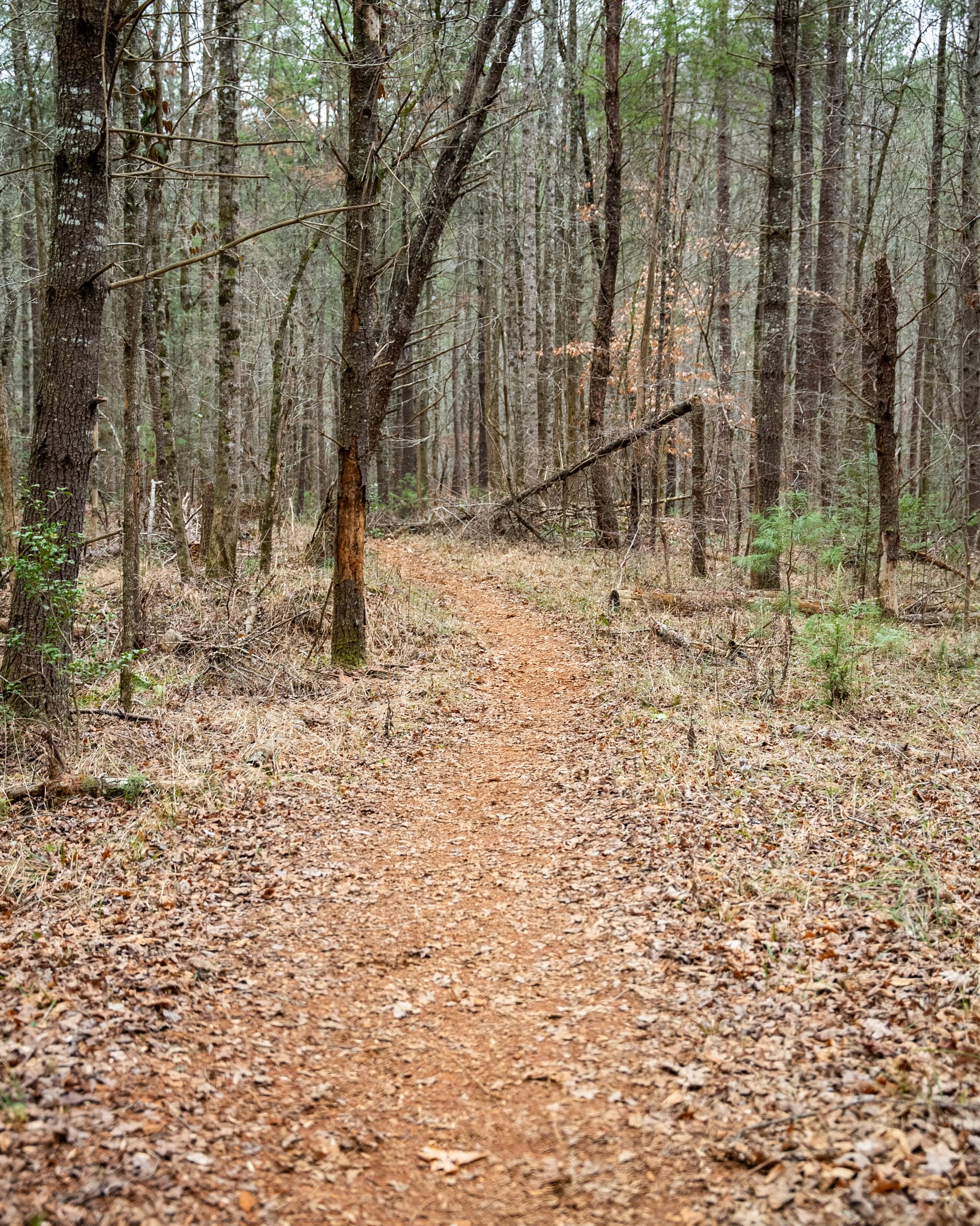
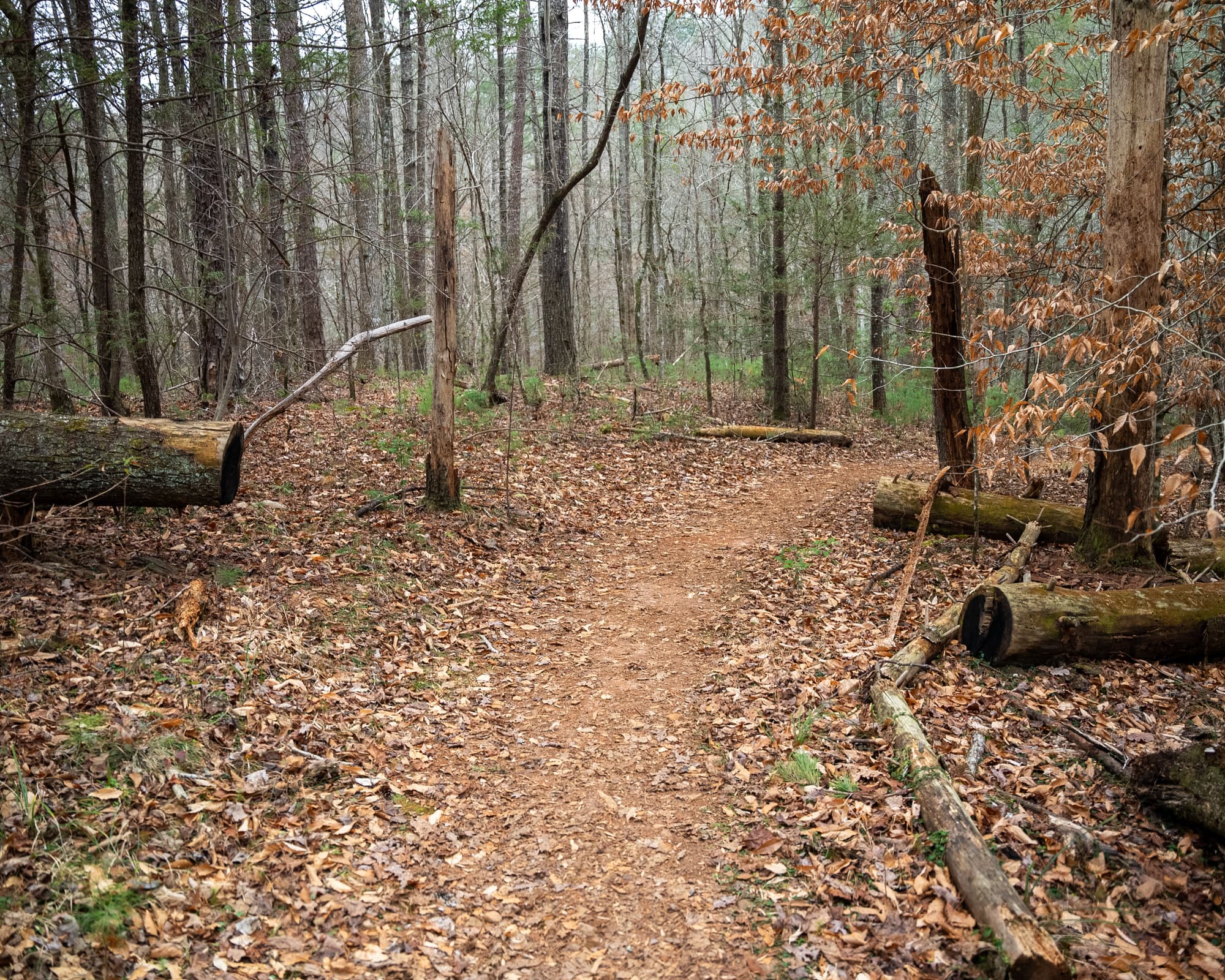
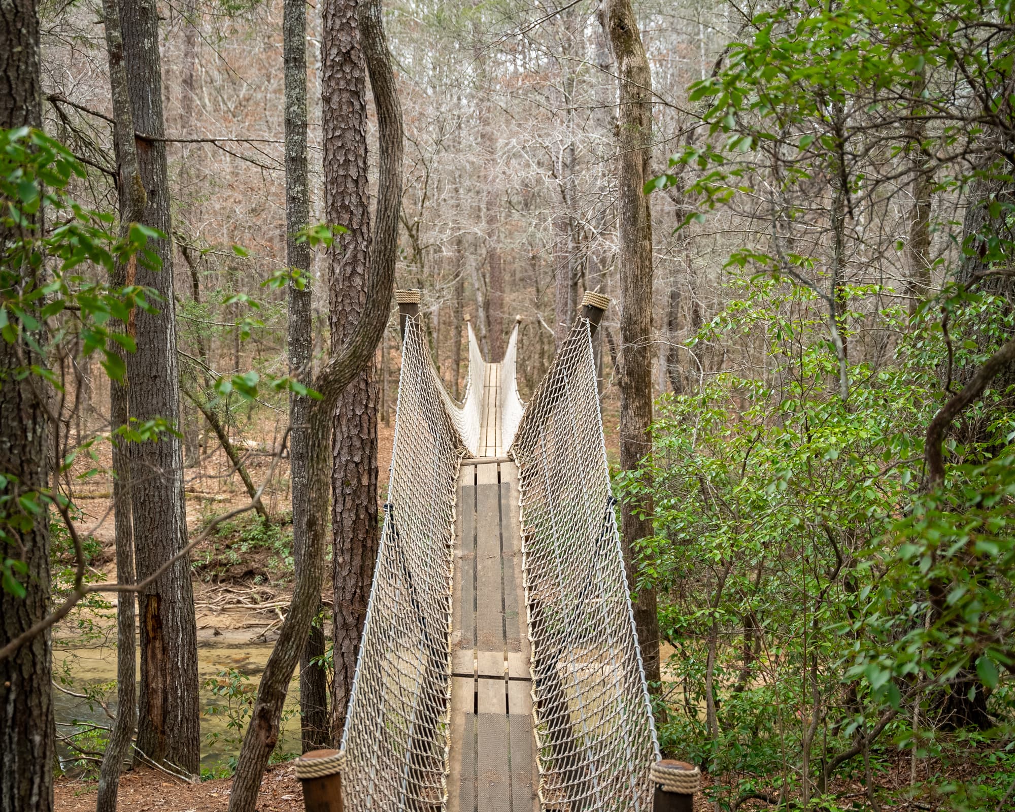
The Eastatoe Passage is part of the Jocassee Gorges Wilderness Area, described by National Geographic as a “destination of a lifetime.” The trail parallels Eastatoe Creek for some of its length, providing a delightful soundtrack to your hike. The Passage also includes a boardwalk above a waterfall on a small feeder creek. In addition to the creek, the trail traverses wooded mountain gorges with beautiful hardwoods and wildflowers. The distance from the SC SC Department of Natural Resources Dug Mountain Fishing Access parking lot to the first, 95-foot-long suspension bridge is only ¾ of a mile, and many come just to see the bridge. Access is via the Cherokee Foothills Scenic Highway, so even getting to the trailhead is a treat. This is a hiking-only passage. No motor vehicles, bicycles, or horses are allowed.
Directions
Trail Head
Trailheads are located at Keowee-Toxaway State Park and Dug Mountain Fishing Access
Trail Head GPS Coordinates
Below are the GPS coordinates for the trail heads. You can also click on the trail head markers in the map below.
Get directions to this trail head
Latitude: 34.93281591819308
Longitude: -82.88537212975611
Get directions to this trail head
Latitude: 34.95858874693019
Longitude: -82.85290541556896
Parking GPS Coordinates
Below are the GPS coordinates for the parking locations. You can also click on the parking markers in the map below.
Get directions to this parking location
Latitude: 34.93238420213150
Longitude: -82.88532382284191
Get directions to this parking location
Latitude: 34.95853298742789
Longitude: -82.85318566536280
Trail Map
Trail Alerts
Dogs must be leashed at all times.
No metal detectors allowed.
Remember to bring trash and waste bags to pack out everything that comes in with you, and Leave No Trace.