Blue Wall Passage
Blue Wall Passage
Trail Description
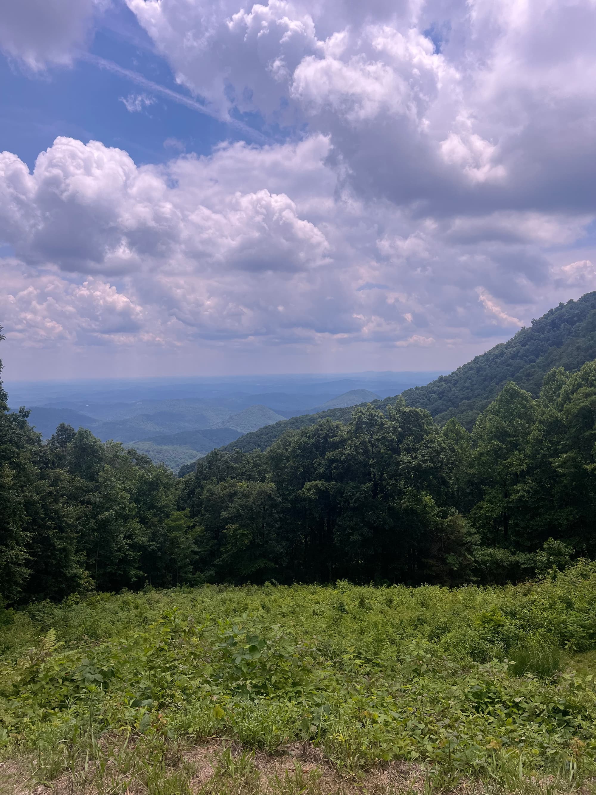
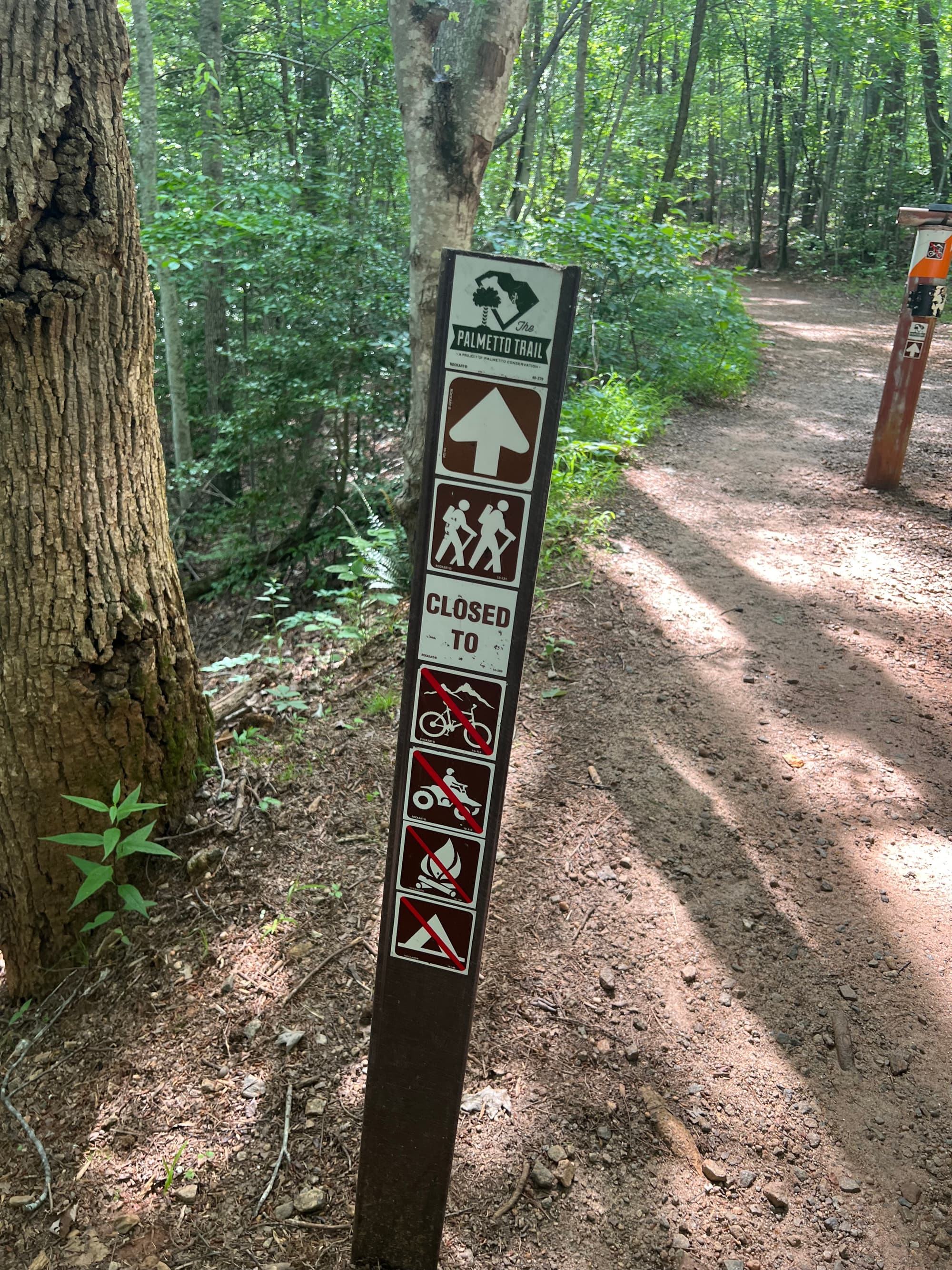
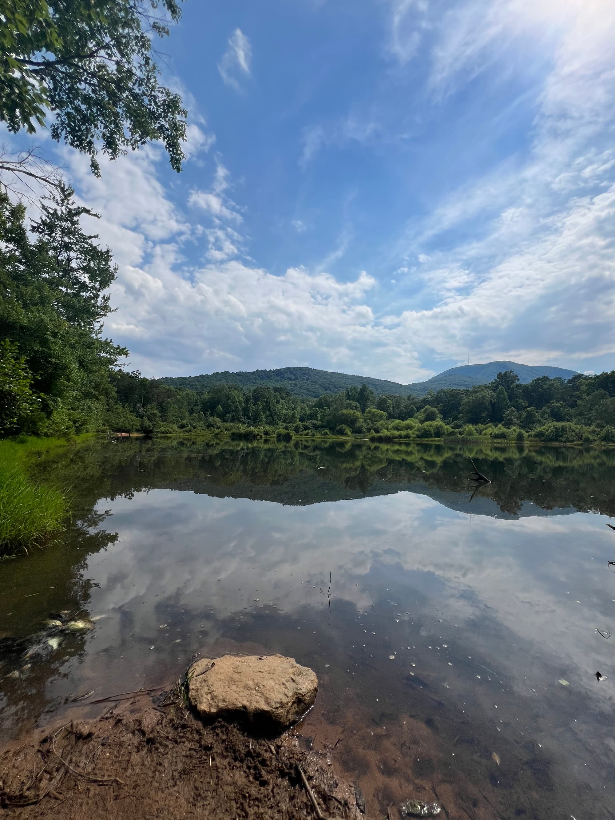
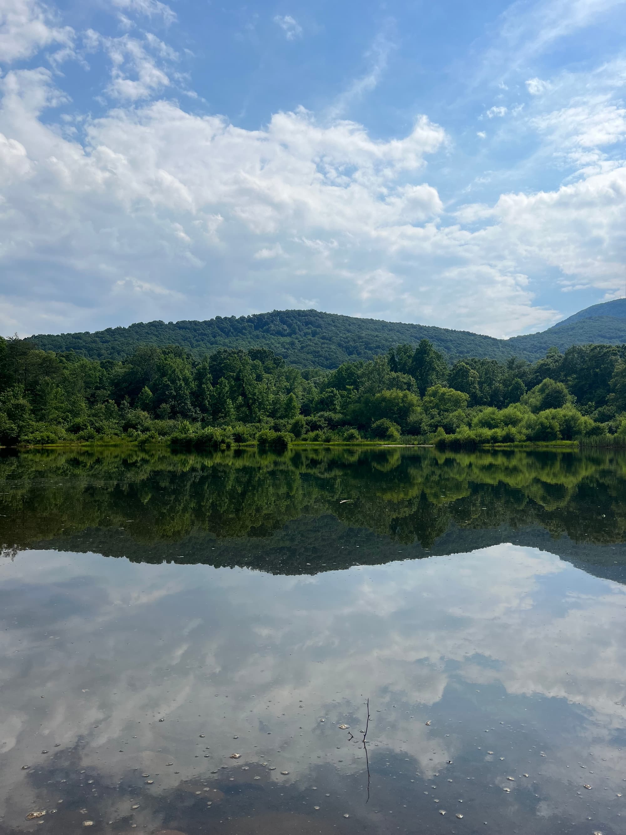
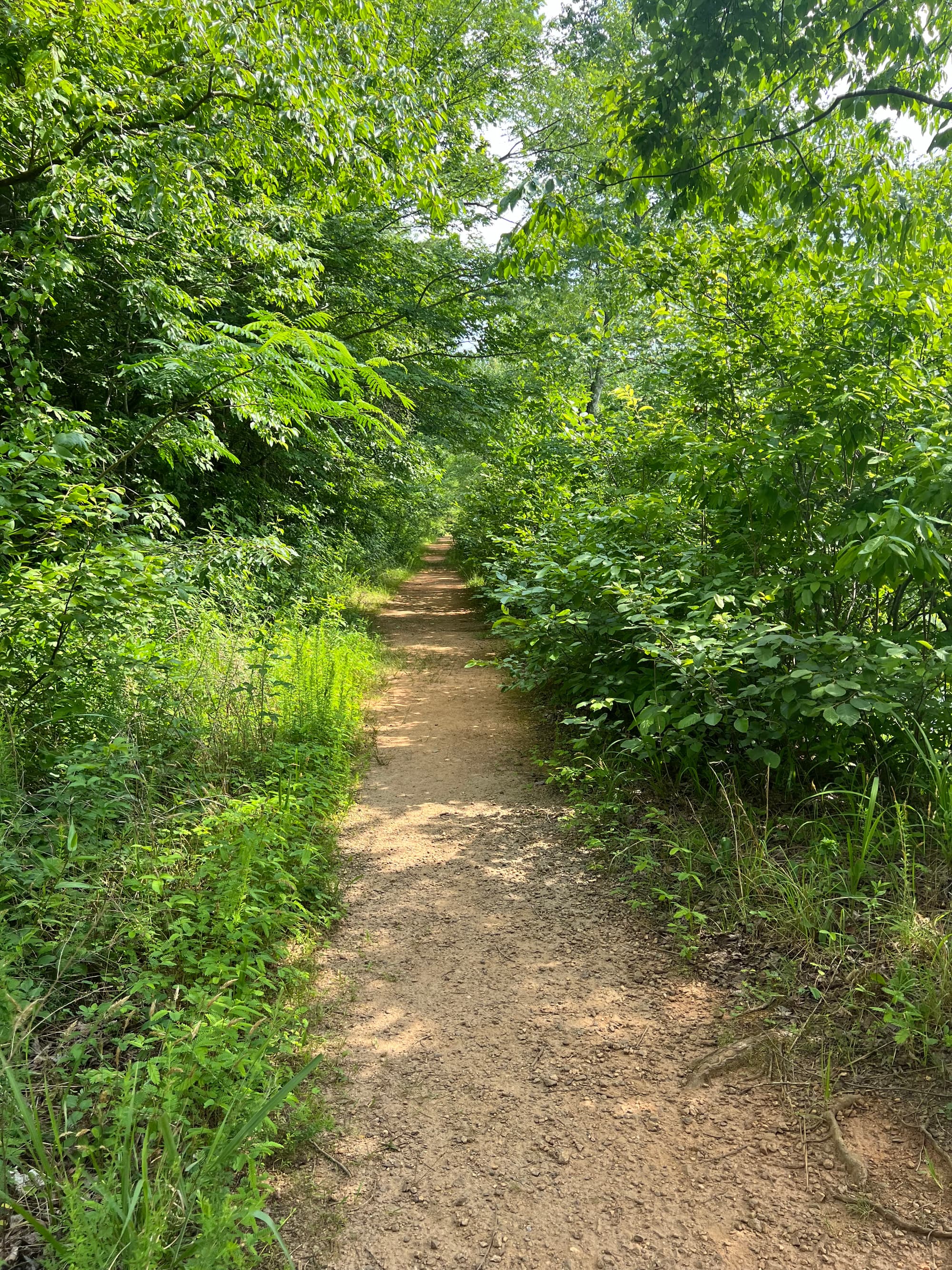
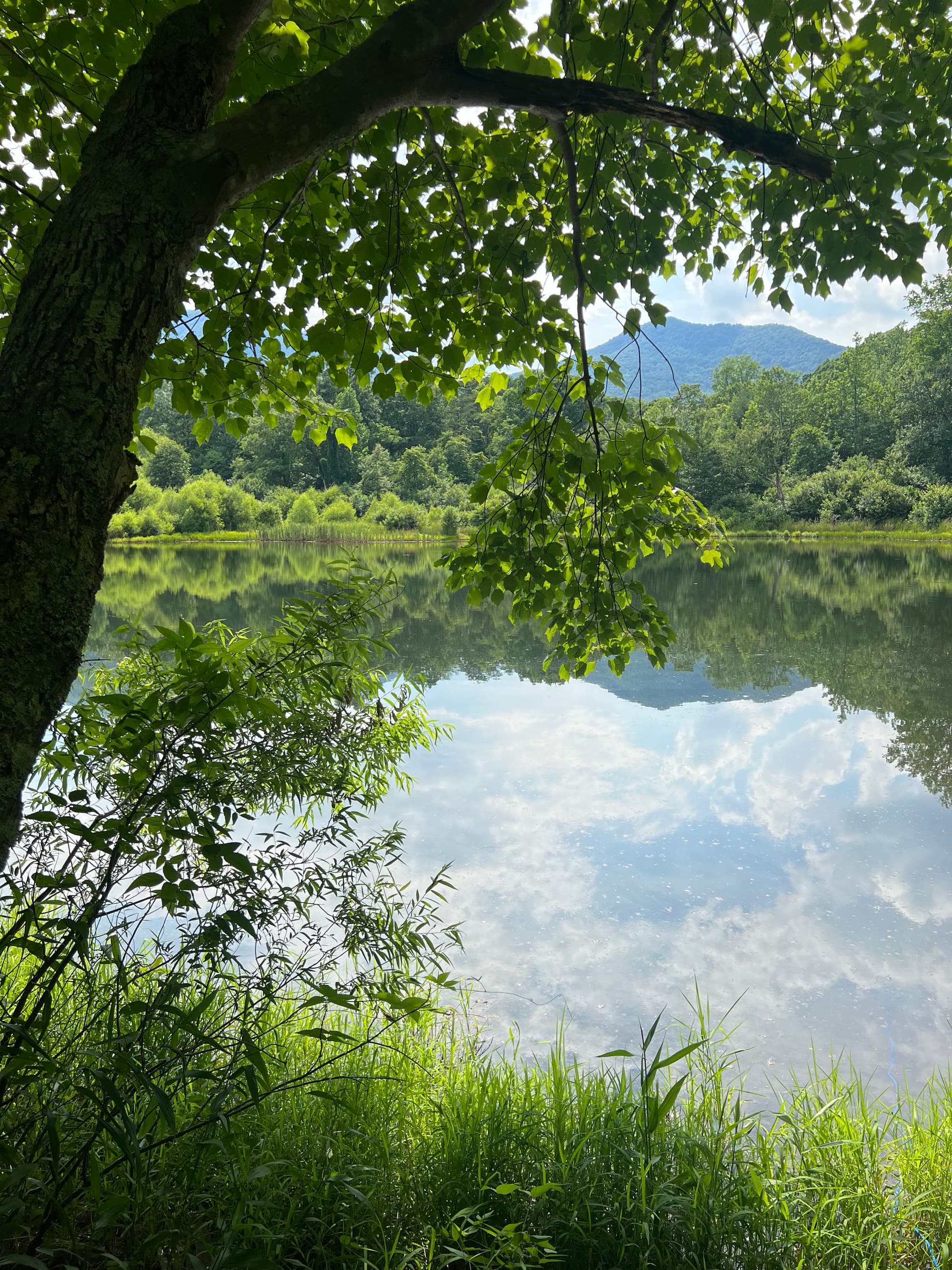
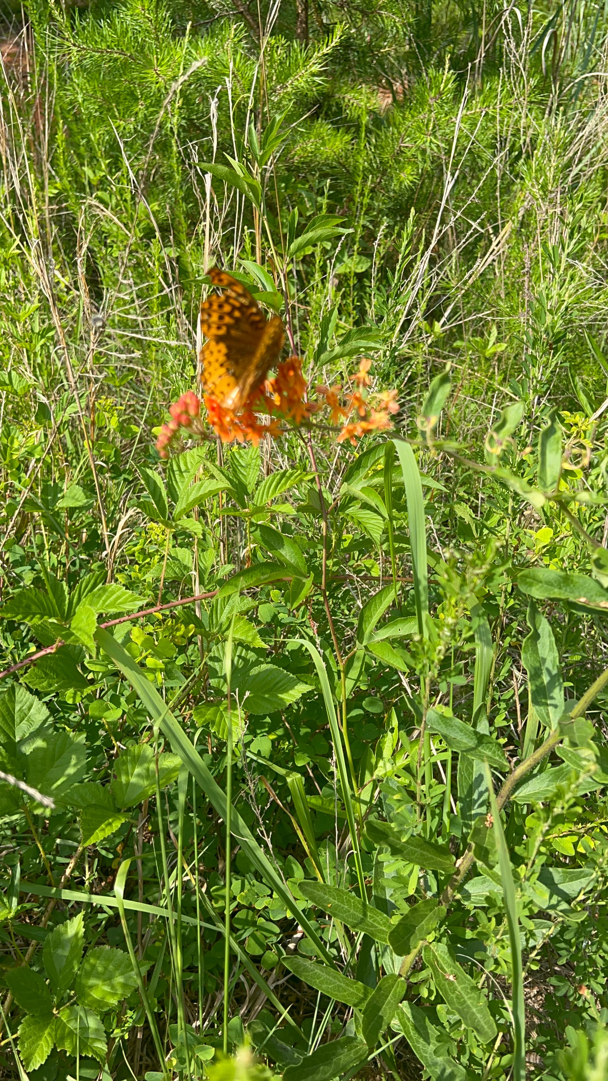
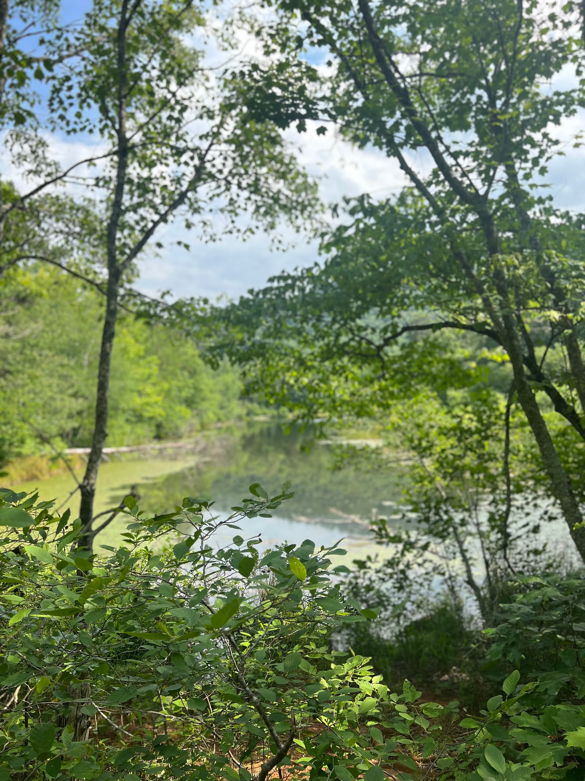
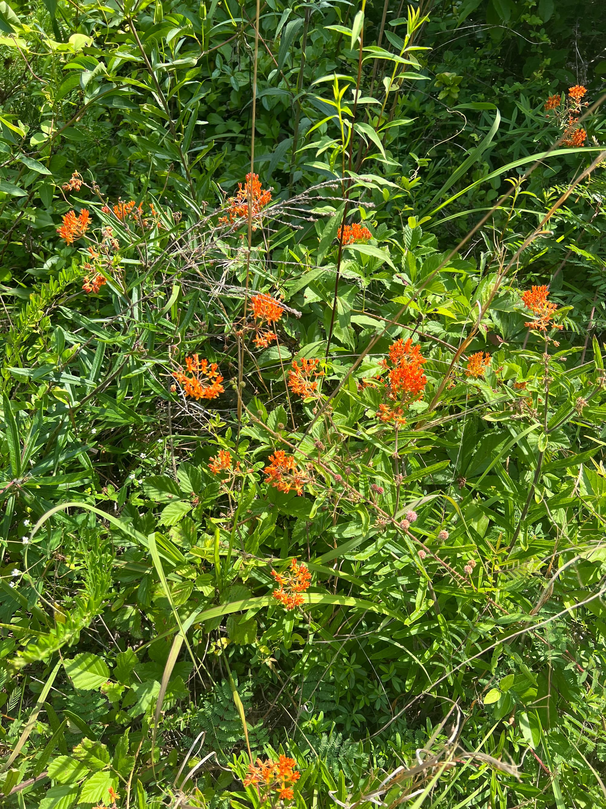
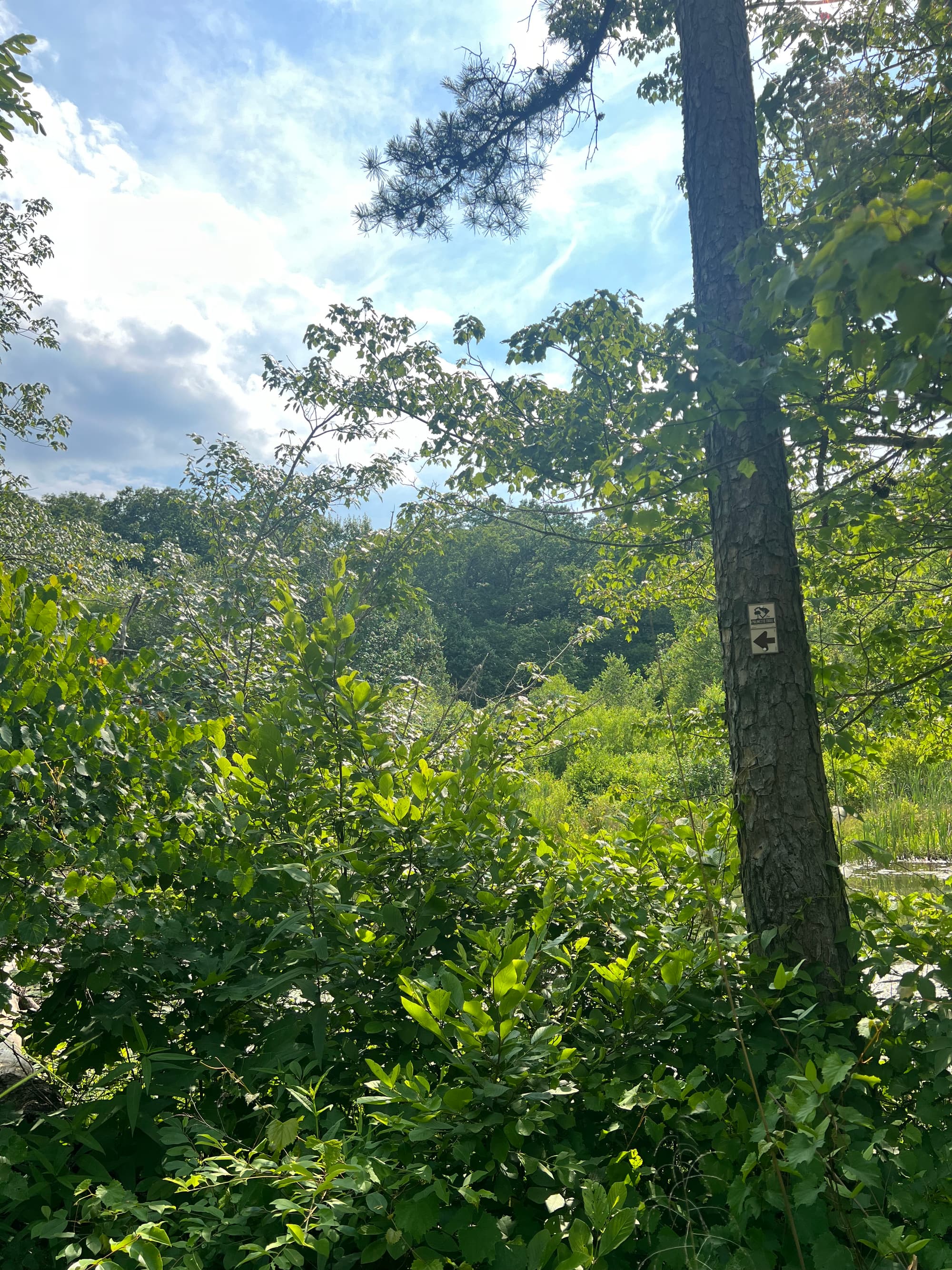
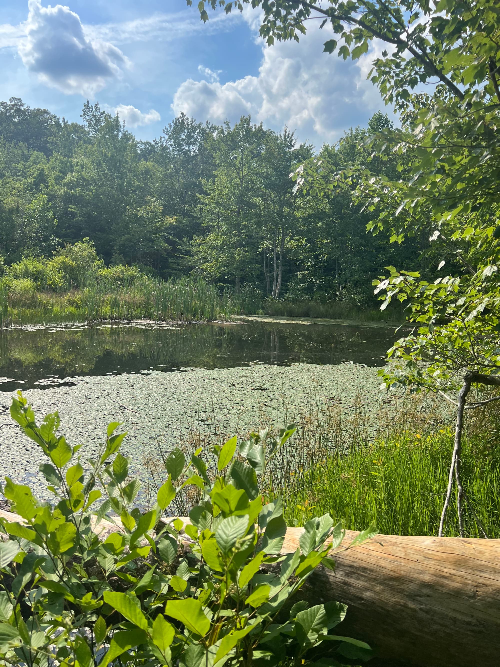
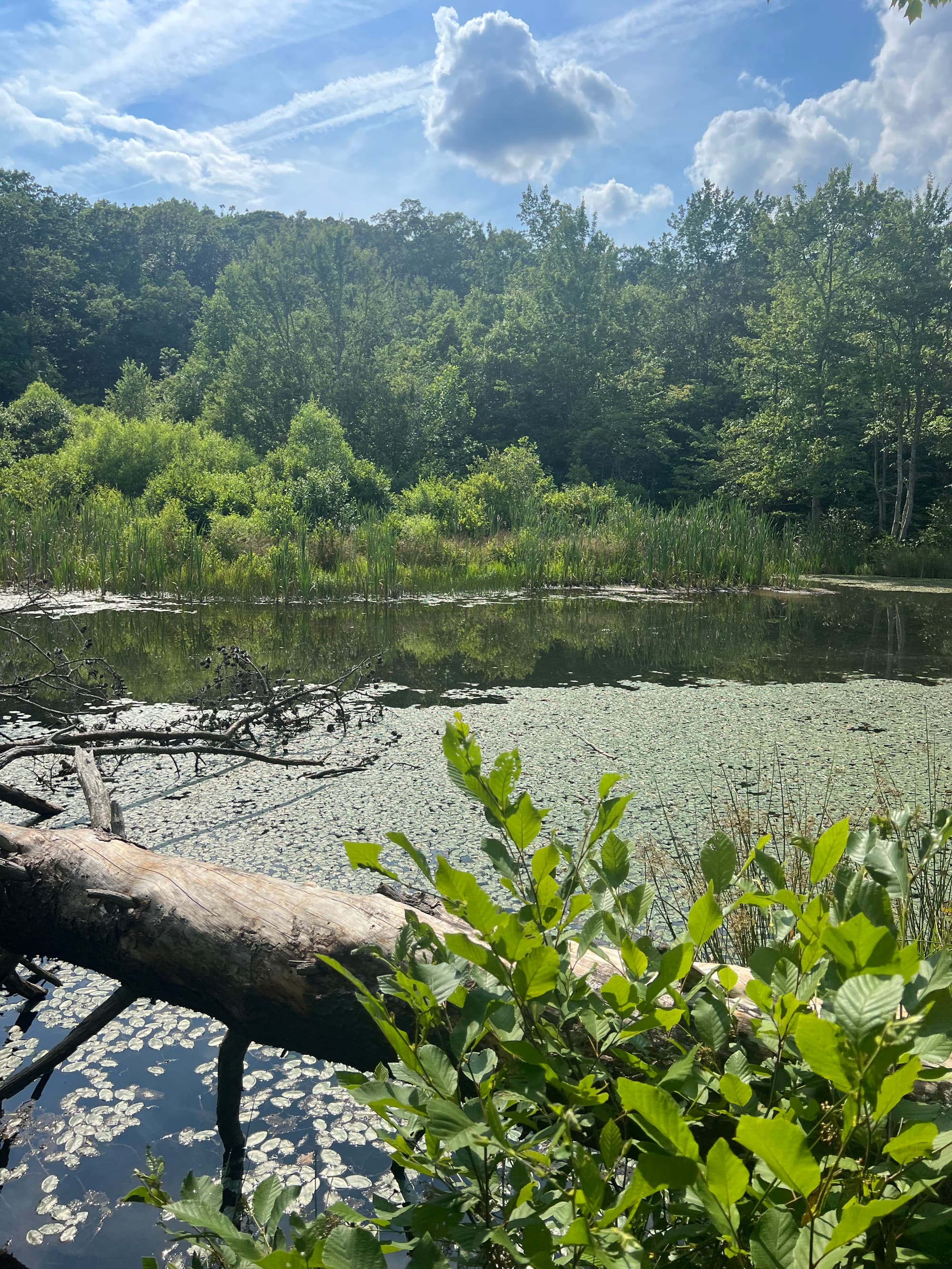
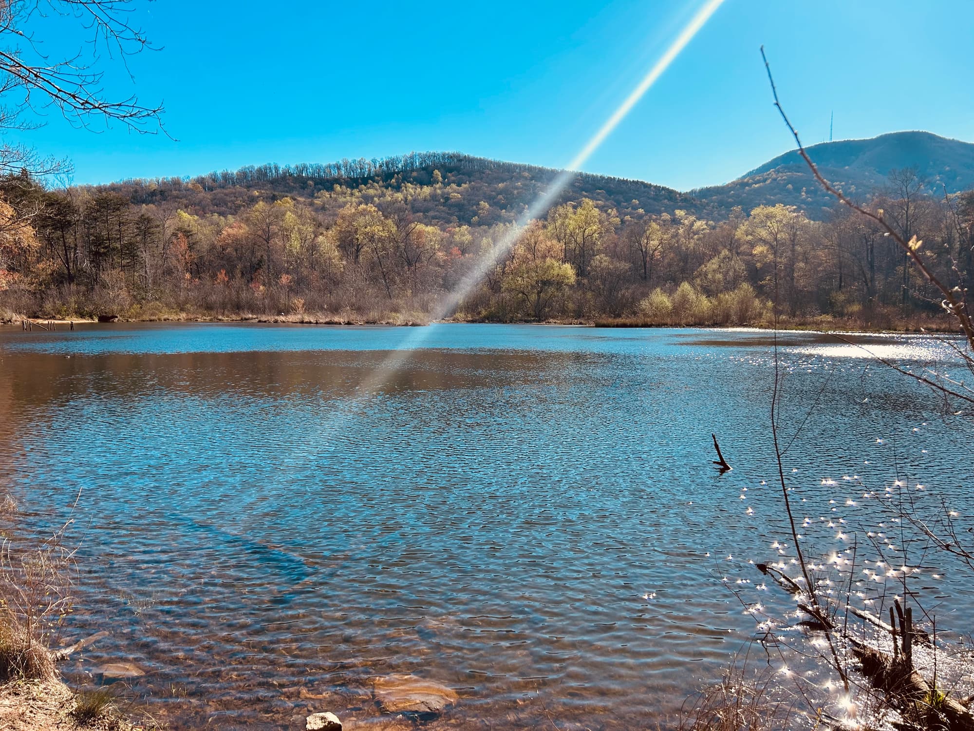
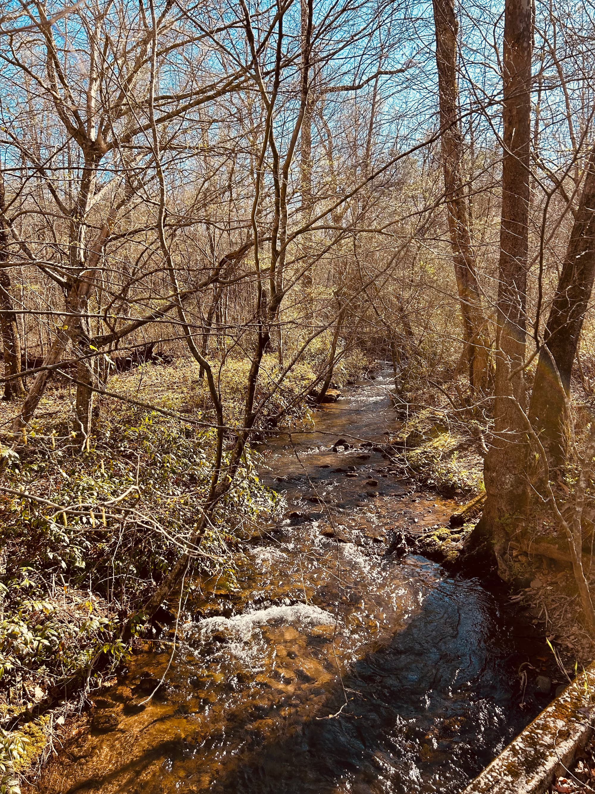
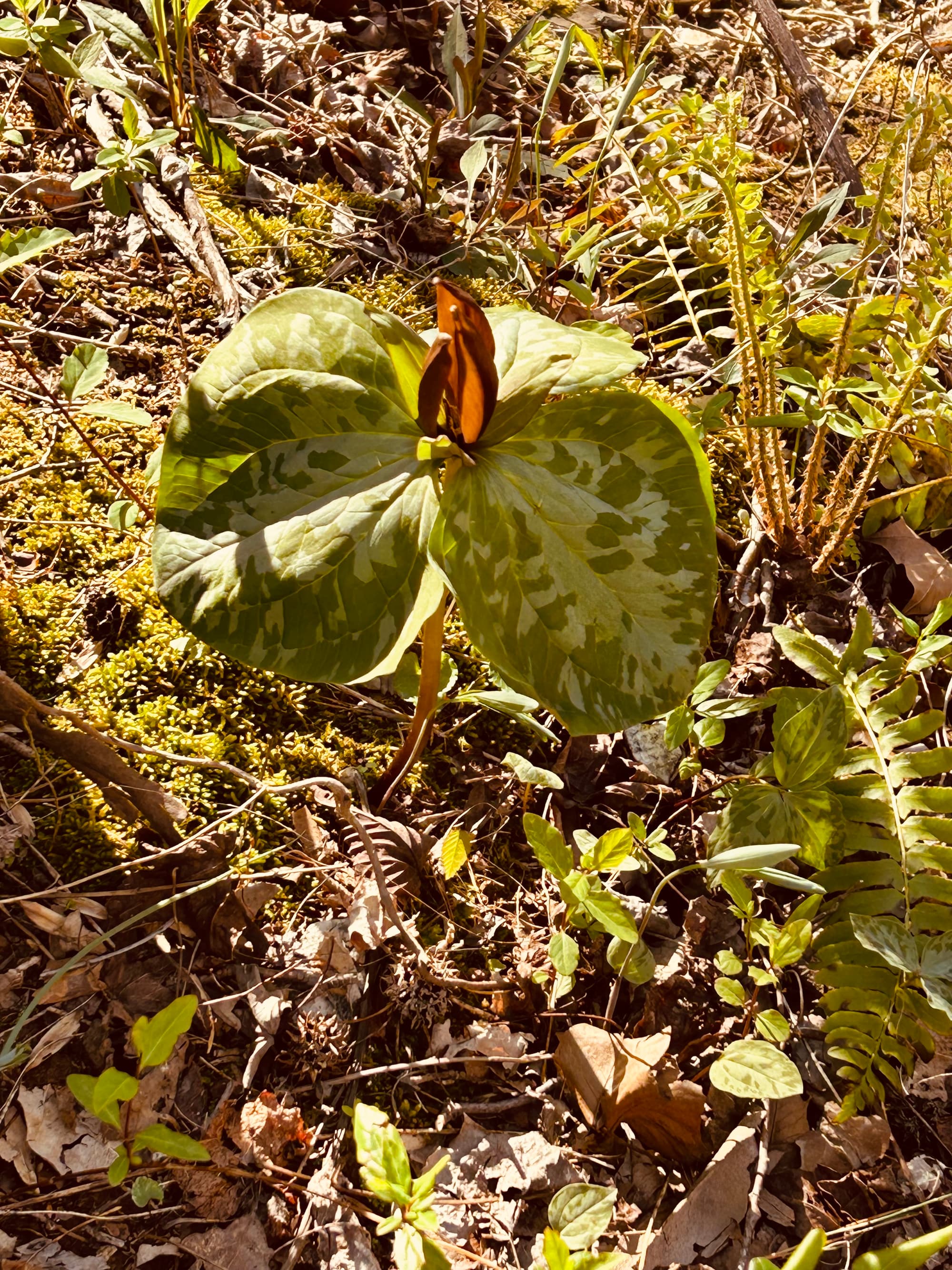
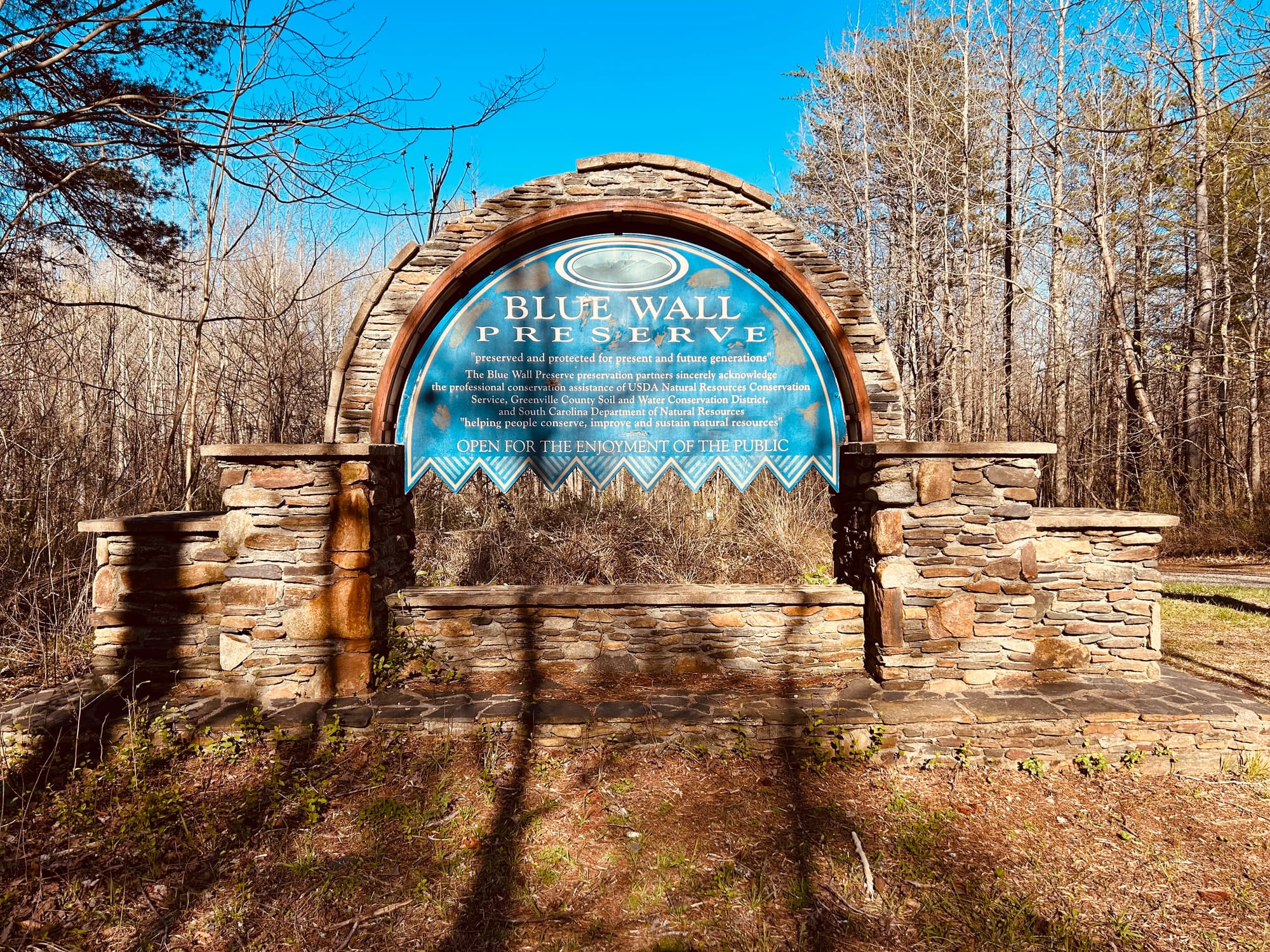
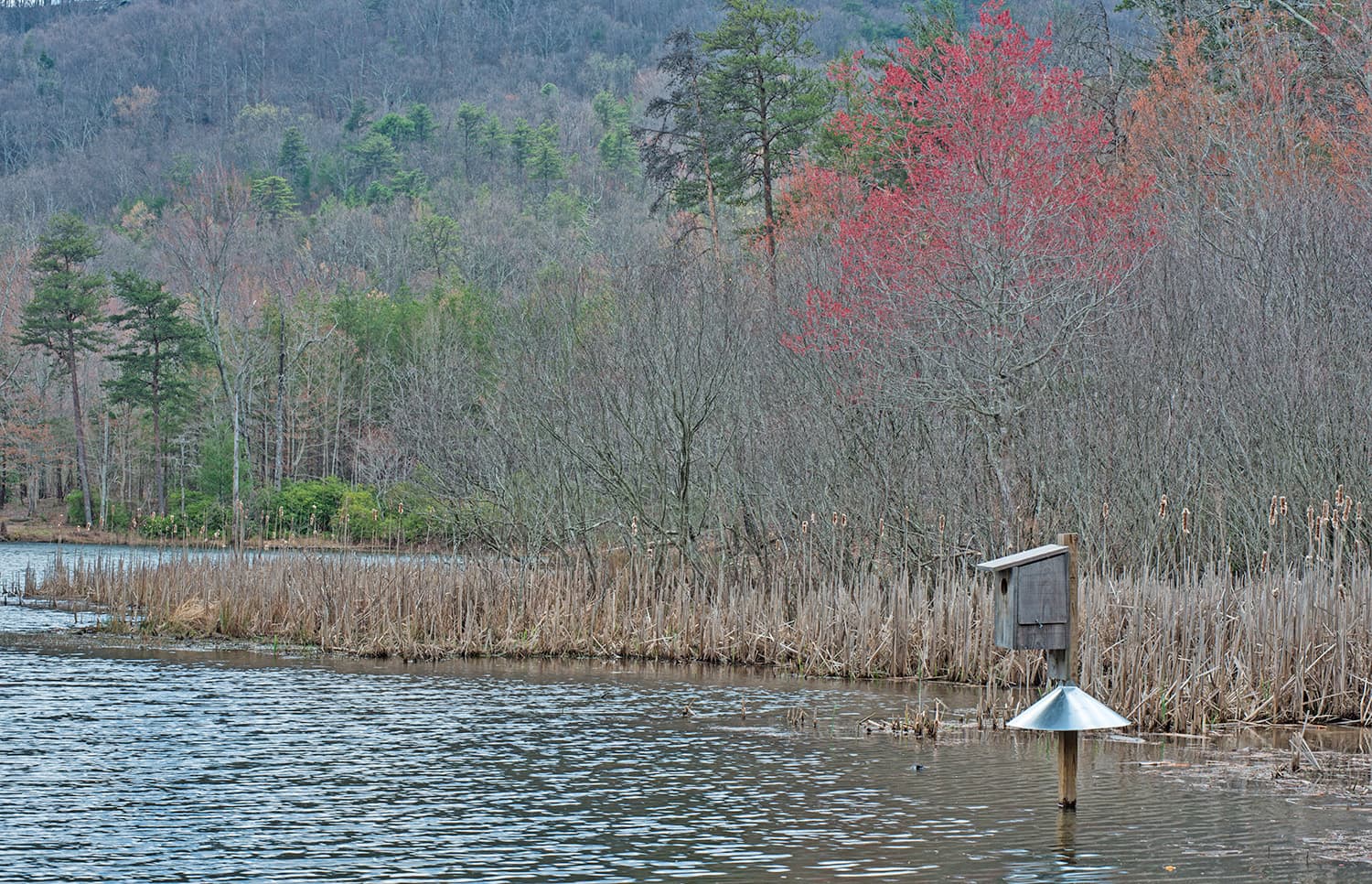
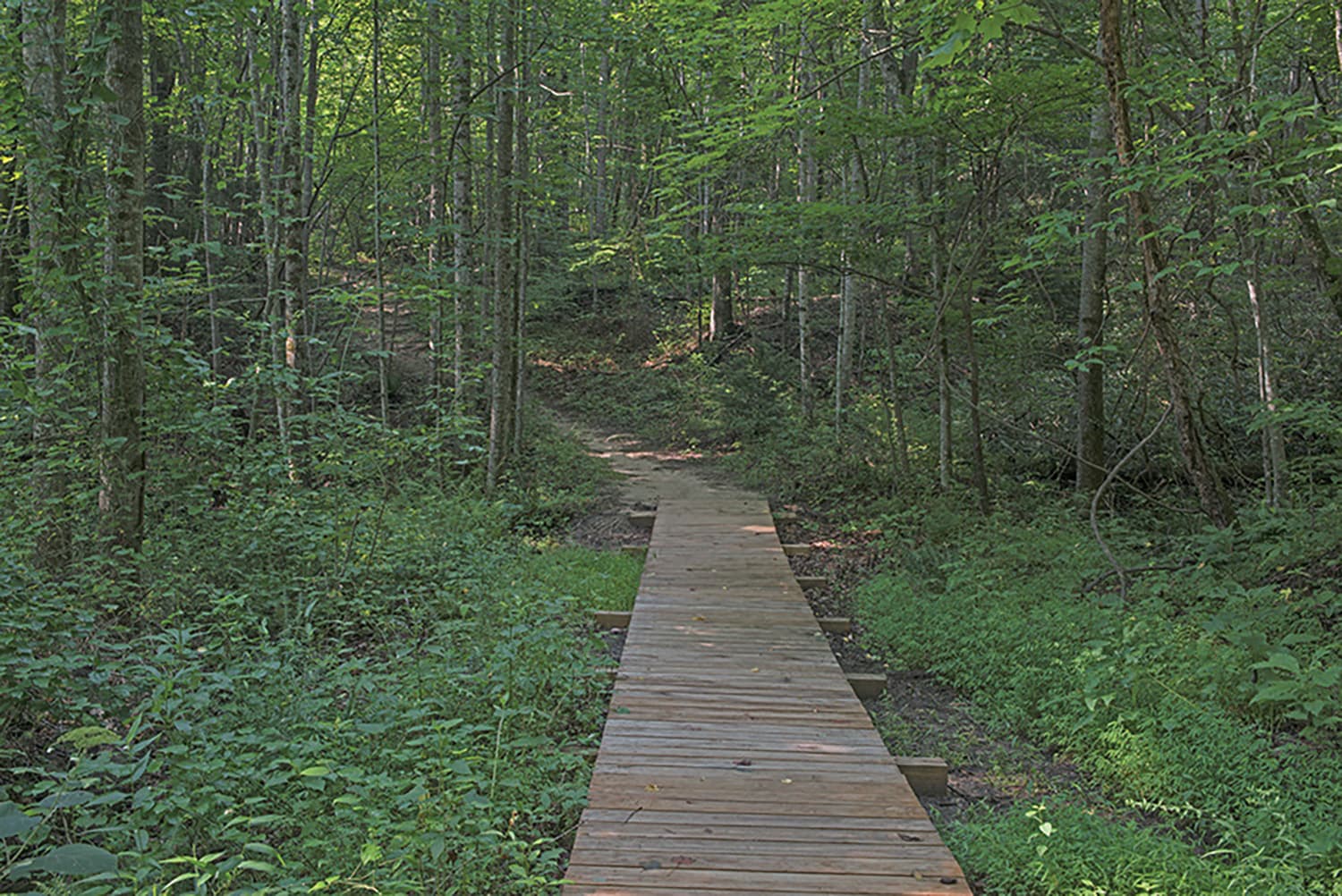
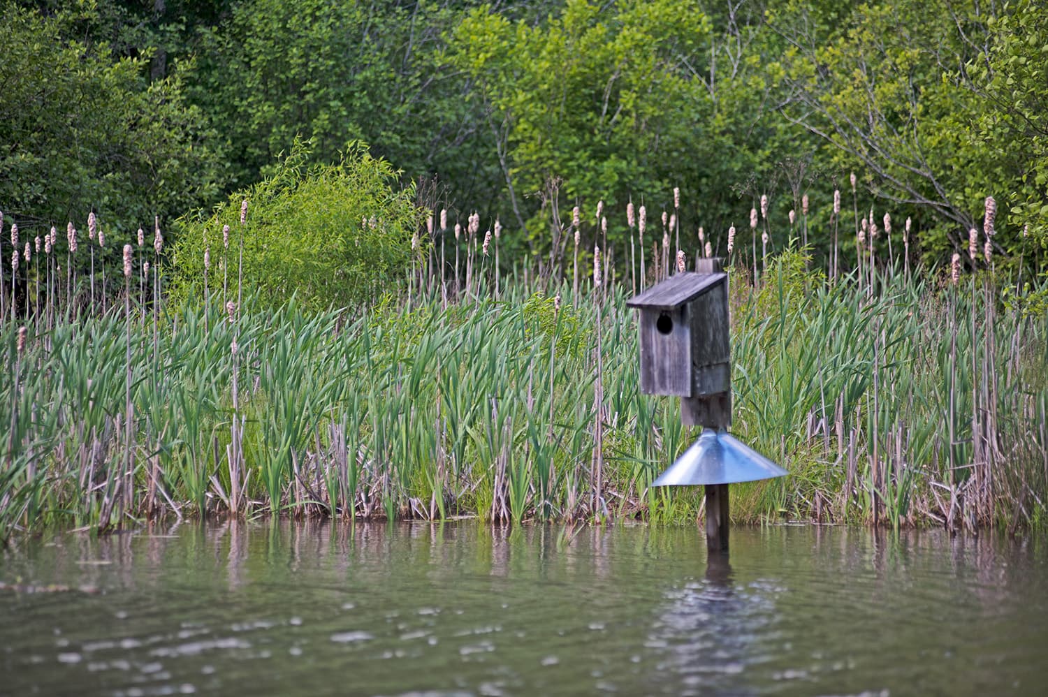
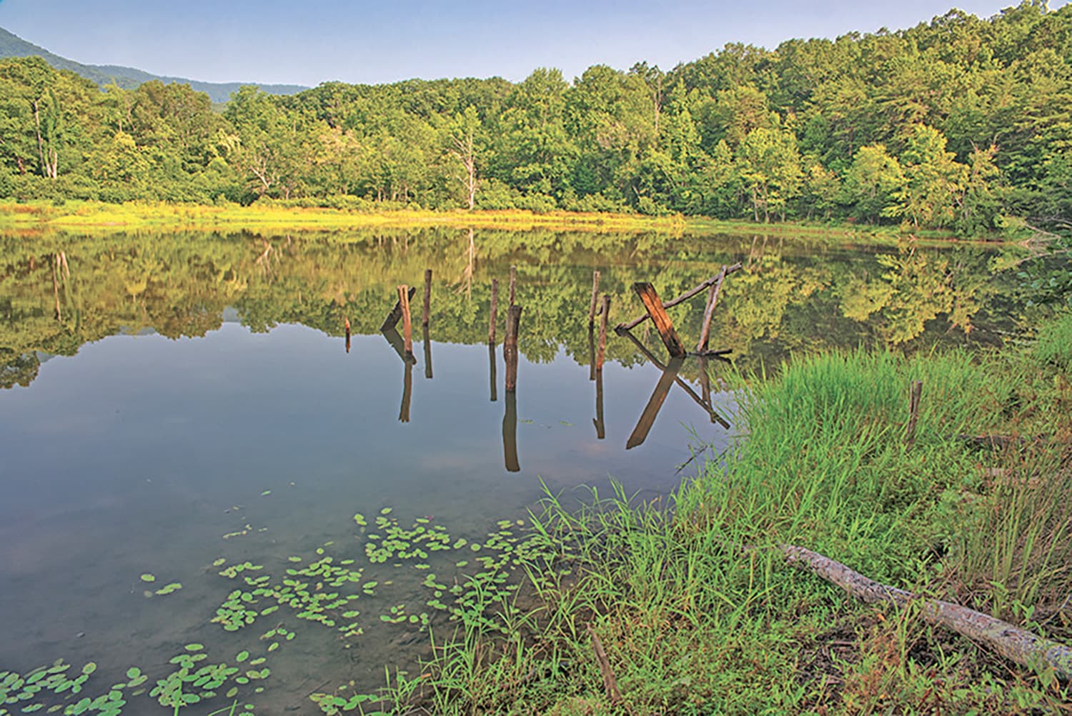
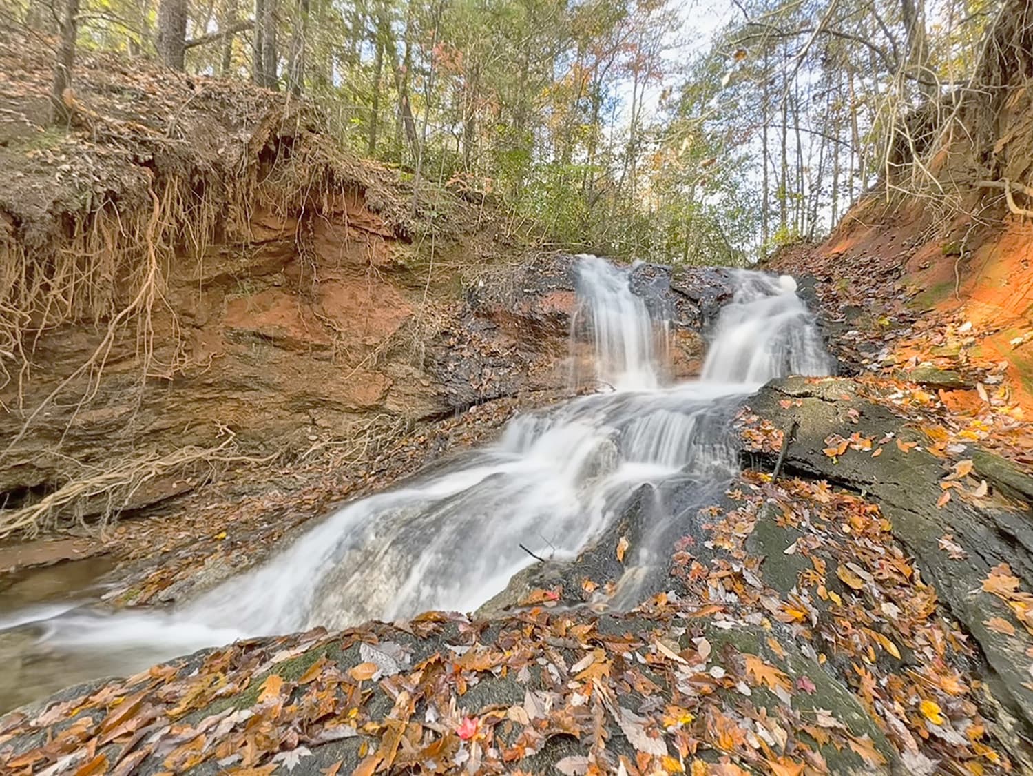
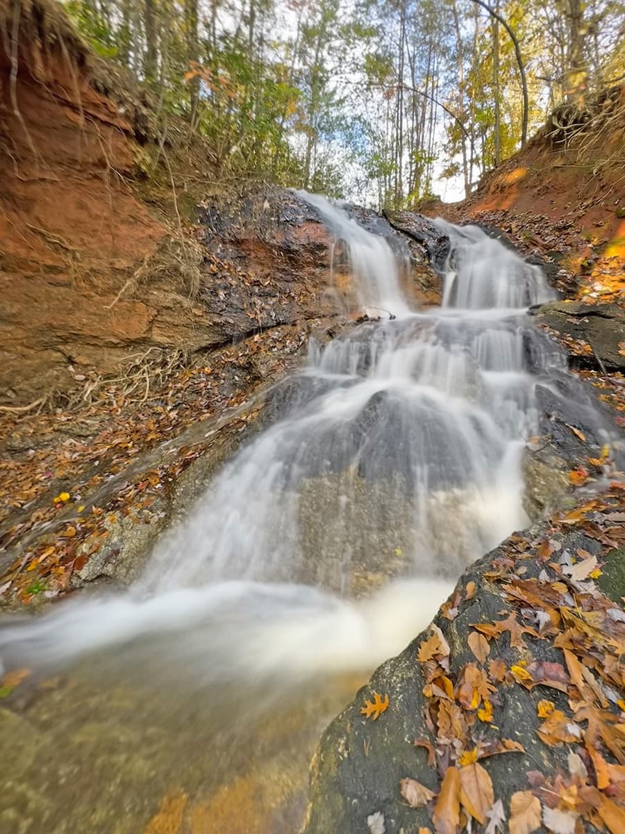
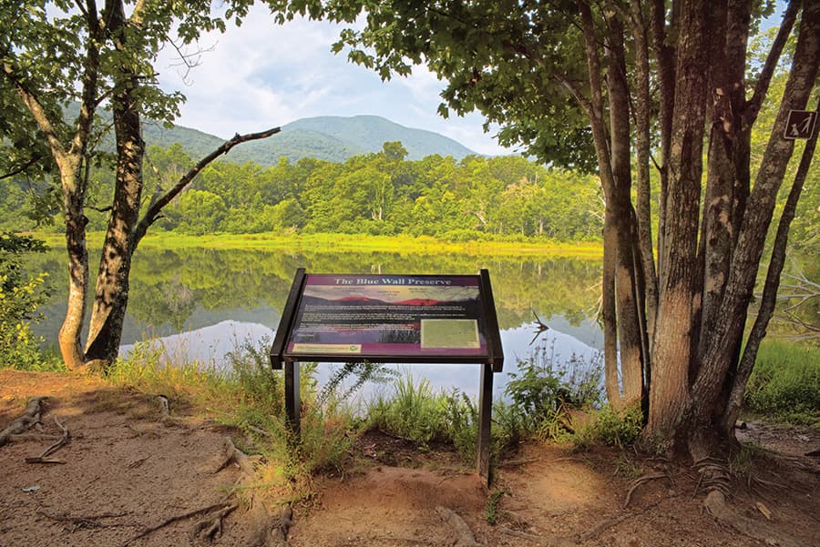
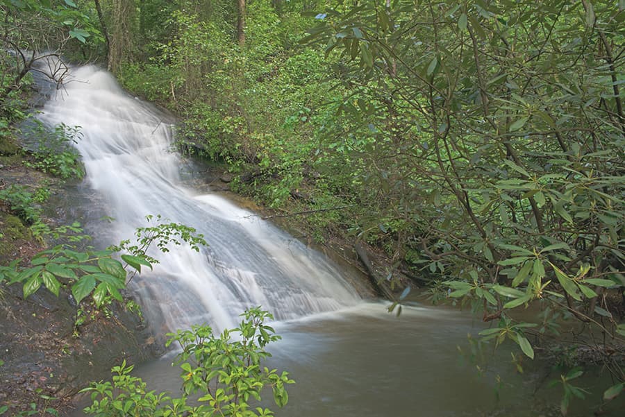
The Blue Wall Passage crosses pristine natural areas managed by The Nature Conservancy that are home to more than 100 species of birds. Wildlife, lovely scenery, and a 30-foot cascading waterfall on a side loop offer fantastic photo opportunities. The eastern trailhead is located just across the NC/SC border in the Foothills Equestrian Nature Center (FENCE), an education/recreation center with easy paths, a pond, and an observation boardwalk. Country roads and sidewalks take the Trail user through downtown Landrum, with quaint antique shops, great eateries and comfy B&B’s, then around lovely Lake Lanier. The Southern Blue Ridge Escarpment at miles 12 to 14 climbs steeply and abruptly to Vaughns Gap (trailhead for Poinsett Reservoir Passage). The Vaughns Gap trailhead, where the Blue Wall Passage connects to the Poinsett Reservoir Passage, can only be accessed by foot. The Blue Wall Passage parking area is 3.4 miles from the trailhead at Vaughn’s Gap. Park only in the designated parking area and NOT on Doug Hill Road. This is a matter of trail user safety and respect for local property owners. Dogs must be leashed. No mountain biking, or fires are allowed in The Nature Conservancy's Blue Wall Preserve (mile marker 10.5 to 14). Camping is not permitted on the Blue Wall Passage.
Additional Information
The SC Nature Conservancy, 2231 Devine St, Columbia, SC 29205, ph 609-385-5499
Foothills Equestrian Nature Center (FENCE), 3381 Hunting Country Rd, Tryon, NC 28782, ph (828) 859-9021
Please note that the Vaughns Gap trailhead, where the Blue Wall Passage connects to the Poinsett Reservoir Passage, can only be accessed by foot.
The Blue Wall Passage parking area is 3.4 miles from the trailhead at Vaughn’s Gap.
Directions
Trail Head
Trailhead in Landrum and at the entrance to the Blue Wall Preserve
Trail Head GPS Coordinates
Below are the GPS coordinates for the trail heads. You can also click on the trail head markers in the map below.
Get directions to this trail head
Latitude: 35.20531578427692
Longitude: -82.17339502746569
Get directions to this trail head
Latitude: 35.17808853023210
Longitude: -82.29449858869268
Parking GPS Coordinates
Below are the GPS coordinates for the parking locations. You can also click on the parking markers in the map below.
Get directions to this parking location
Latitude: 35.20550248151713
Longitude: -82.17355466383465
Get directions to this parking location
Latitude: 35.20014529873396
Longitude: -82.17430999297159
Get directions to this parking location
Latitude: 35.18444522735813
Longitude: -82.24818100115417
Trail Map
Trail Alerts
If backpacking, remember to hang food in bear bags.
Dogs must be leashed at all times.
Remember to bring trash and waste bags to pack out everything that comes in with you, and Leave No Trace.
No metal detectors allowed.