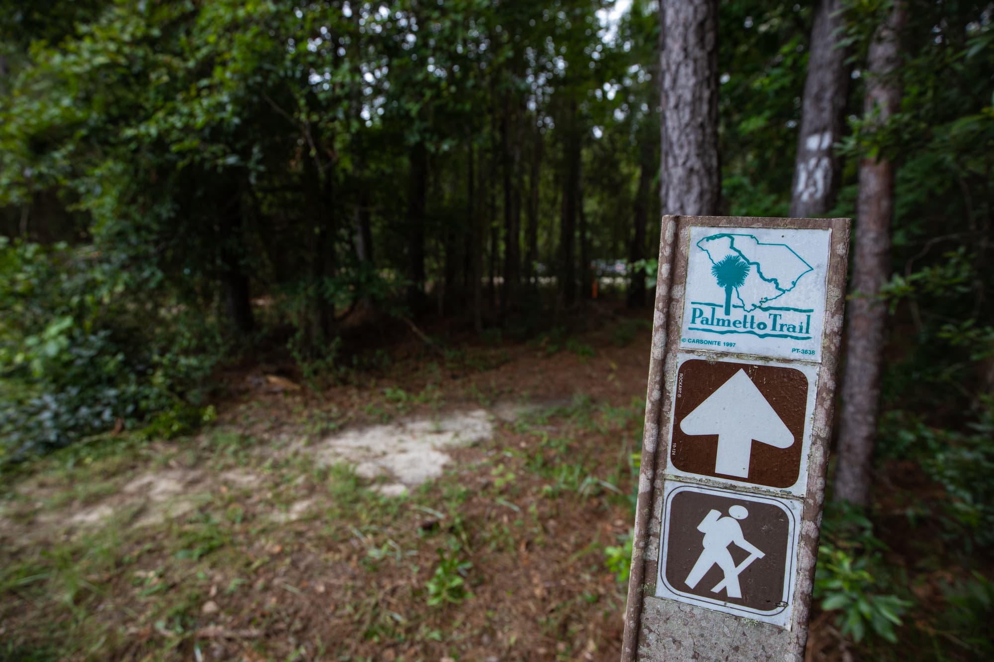
Awendaw Passage

Awendaw Passage
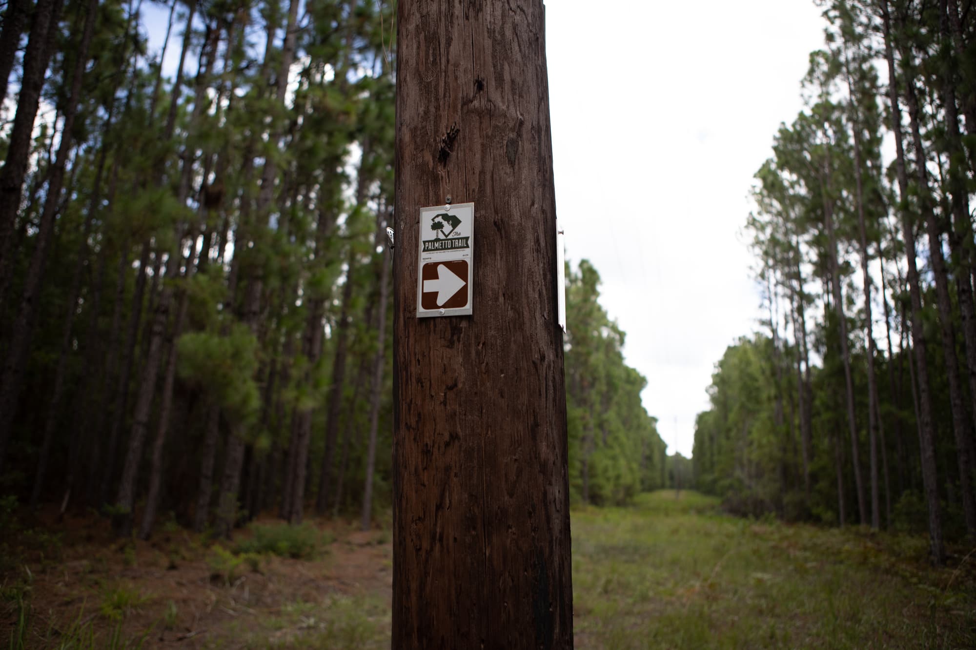
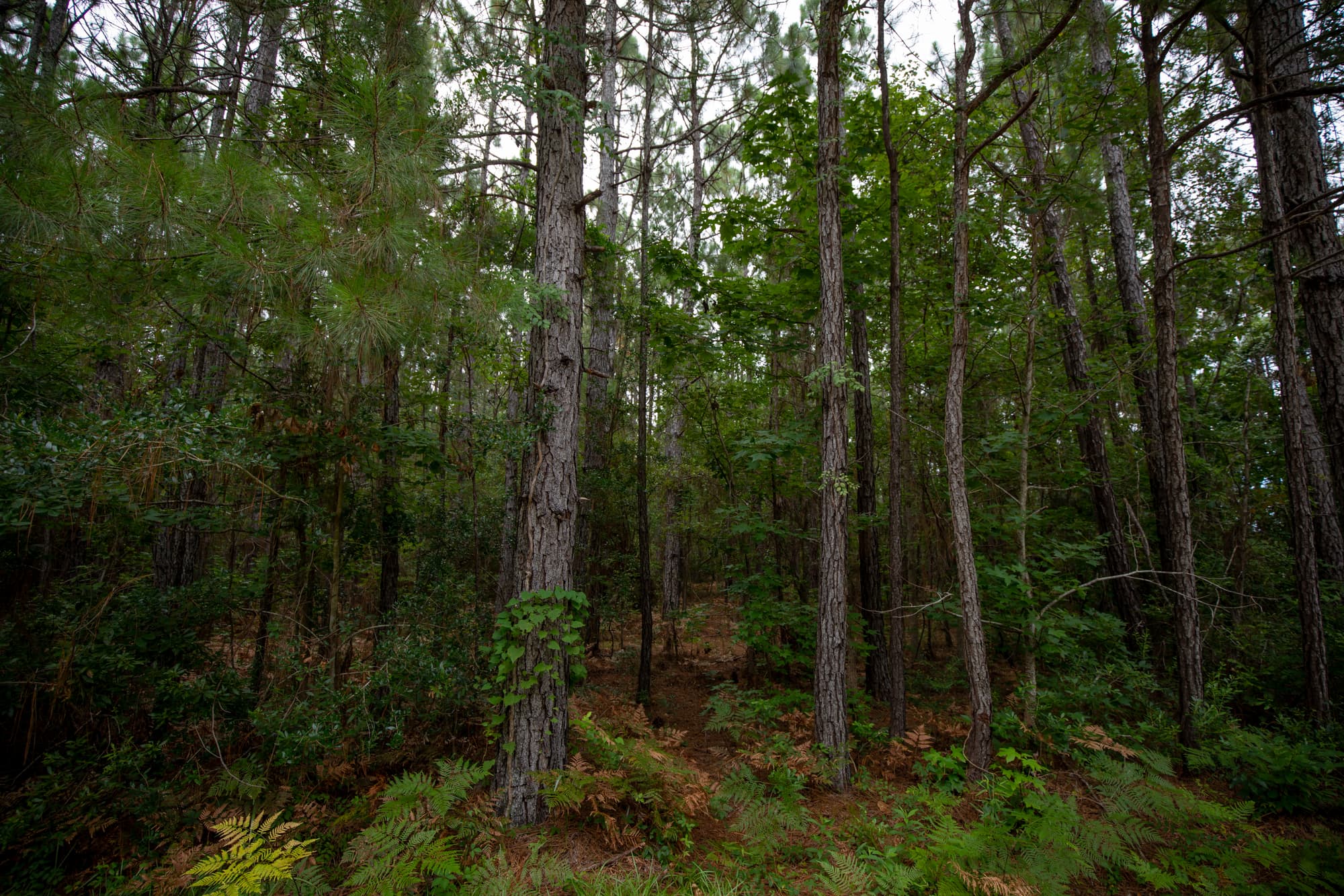
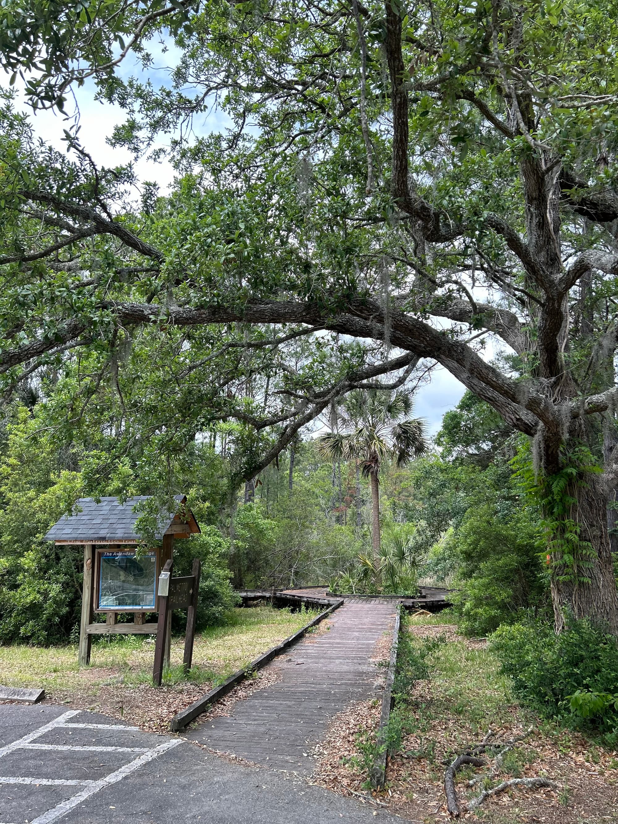
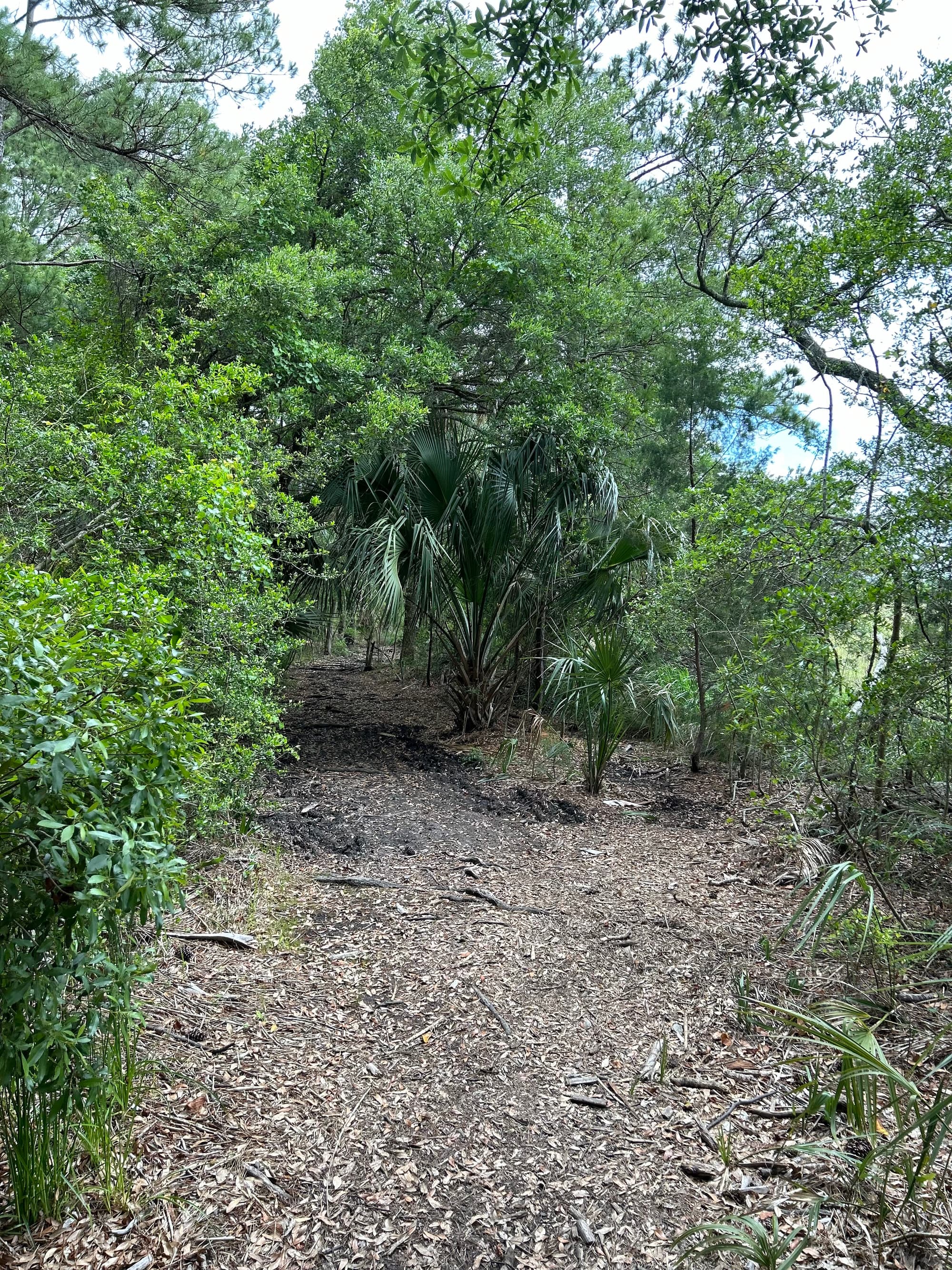
Trail Description
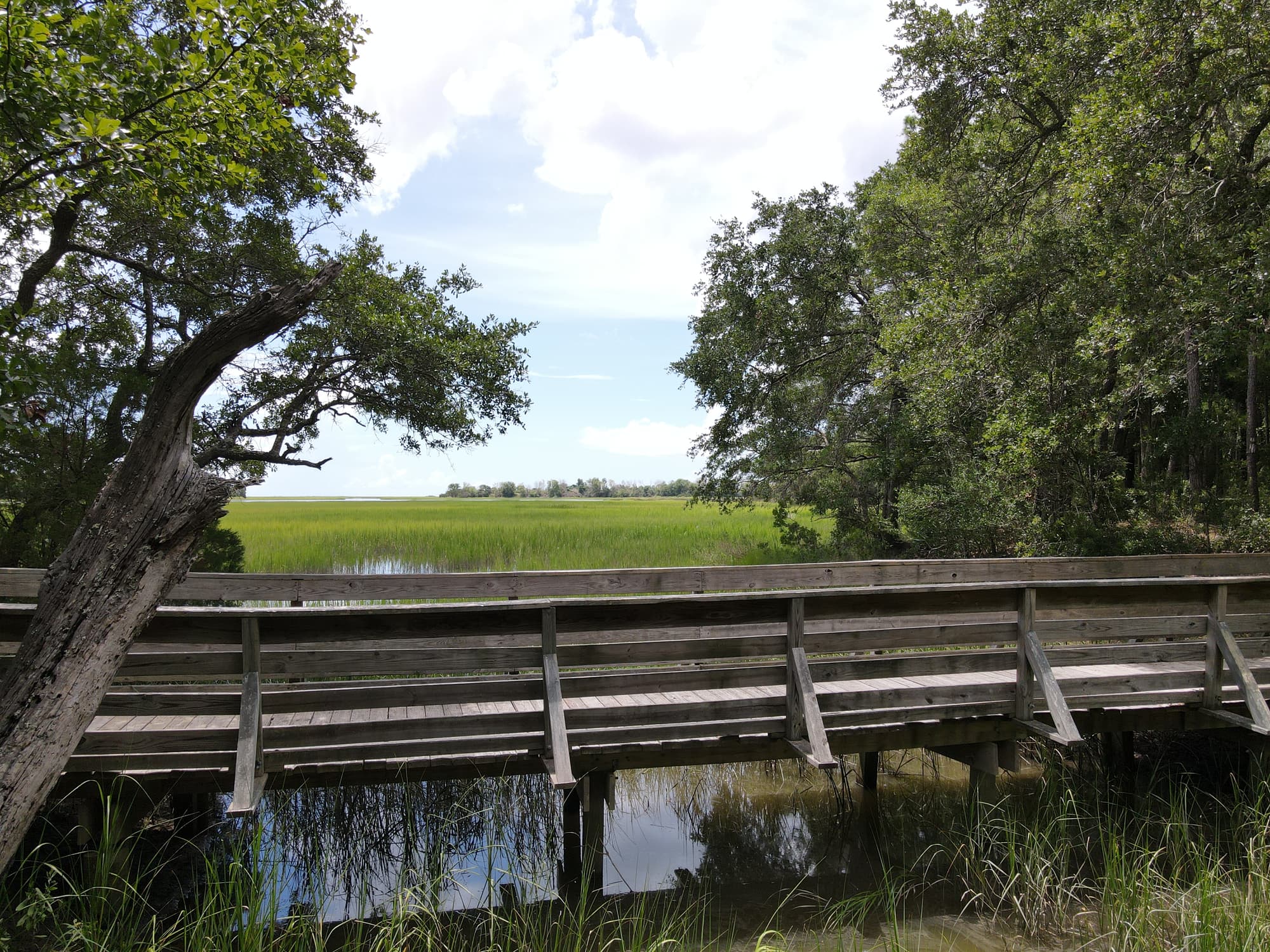
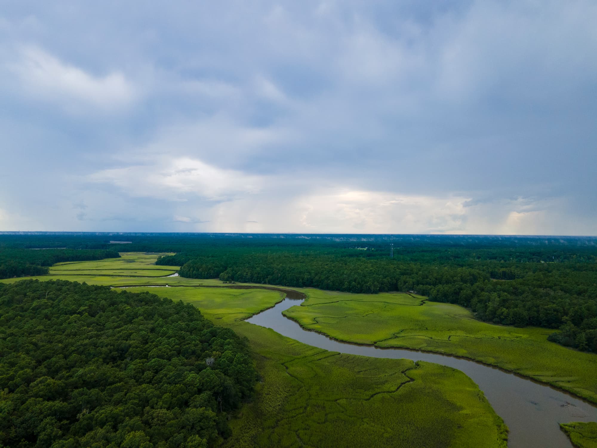
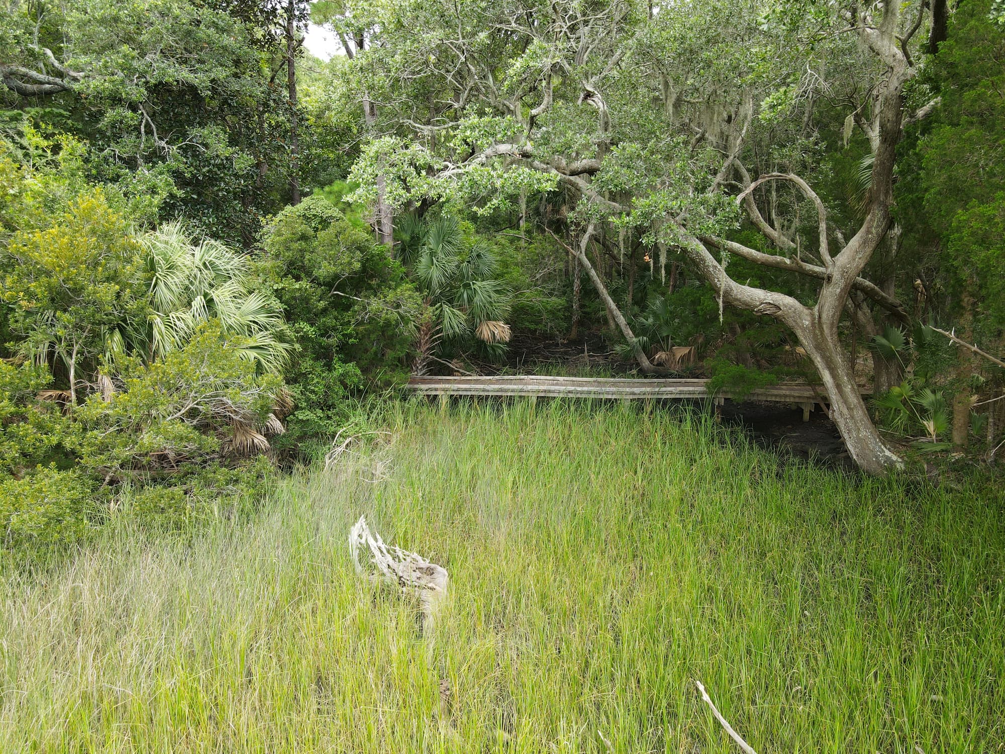
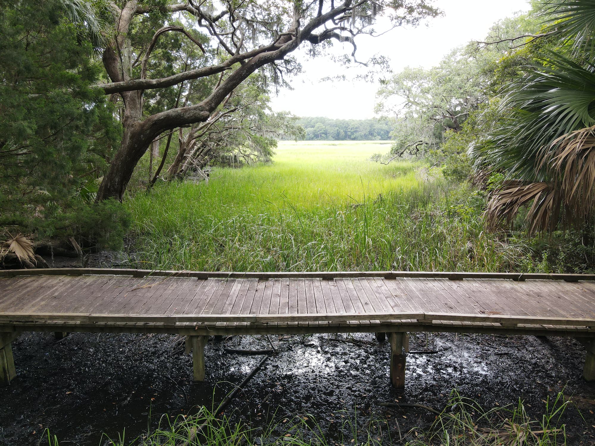
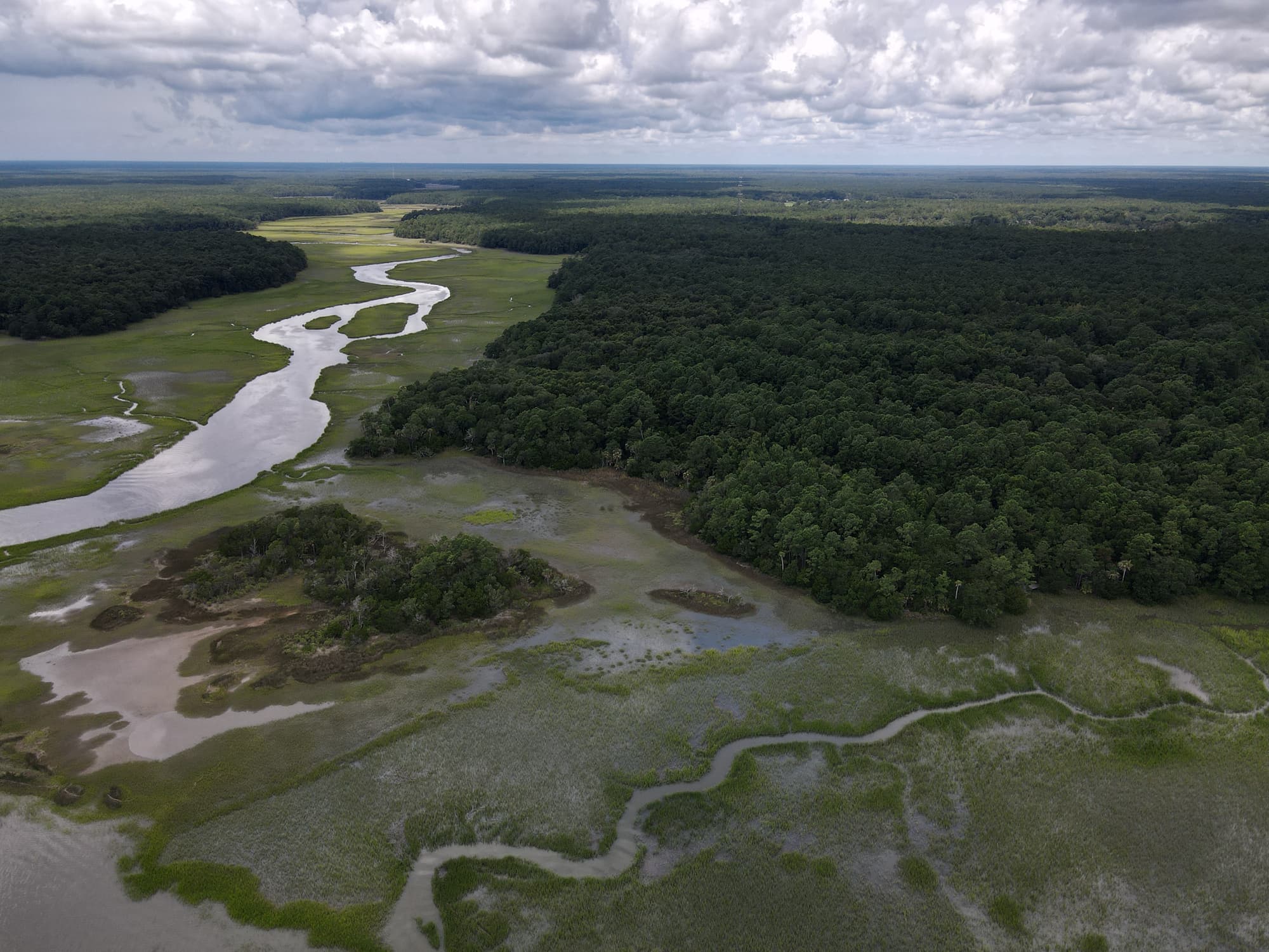
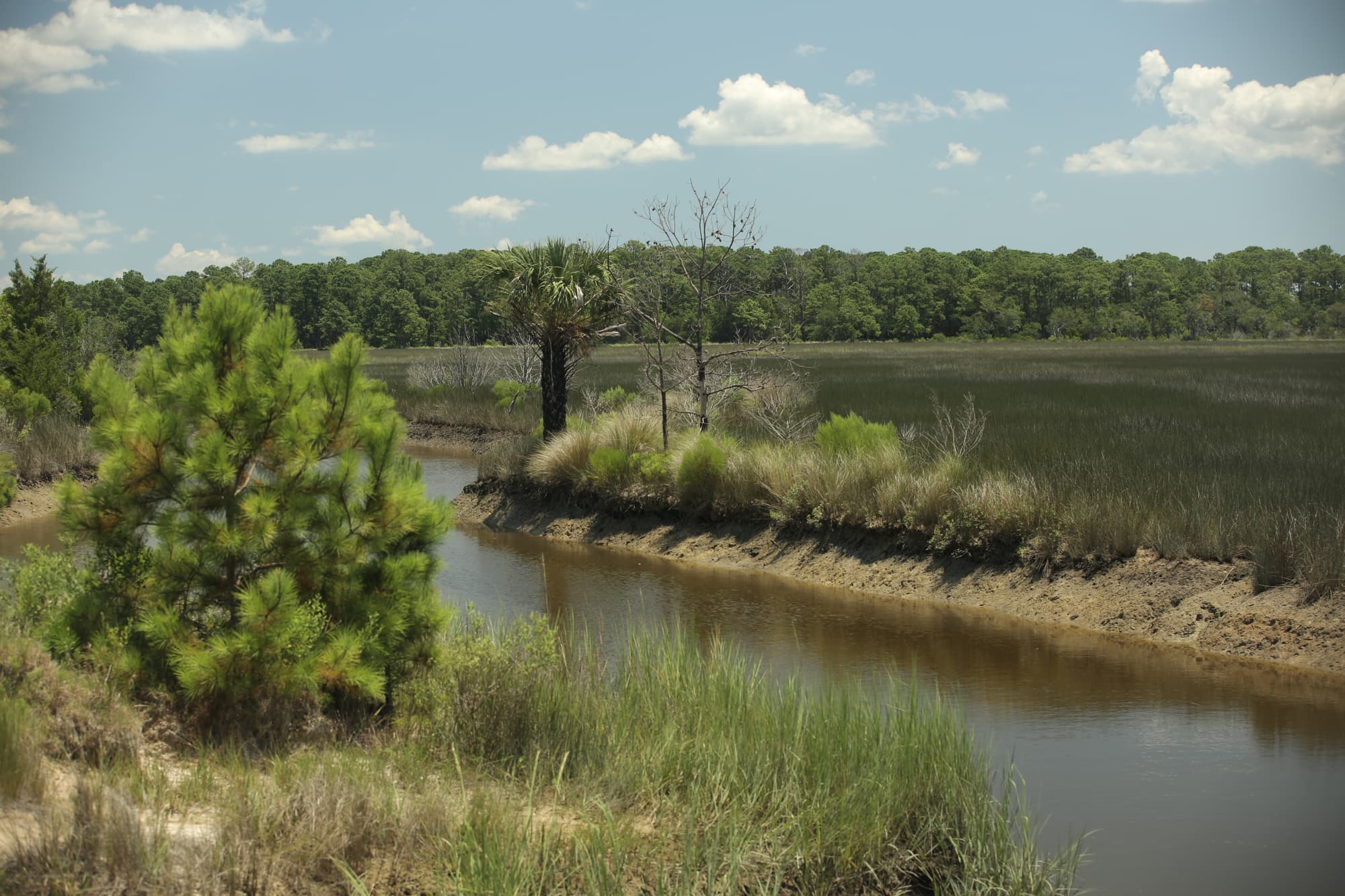
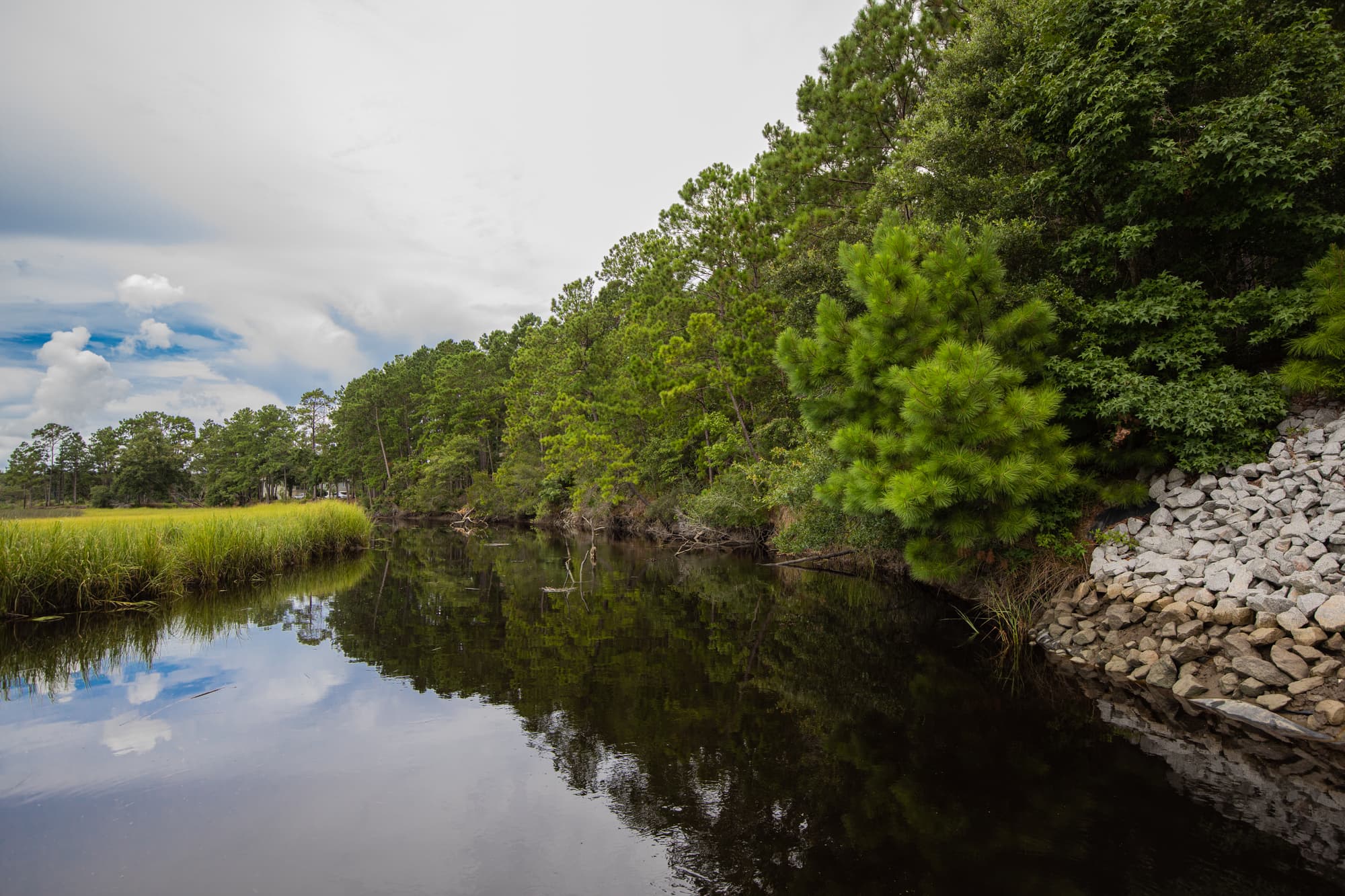
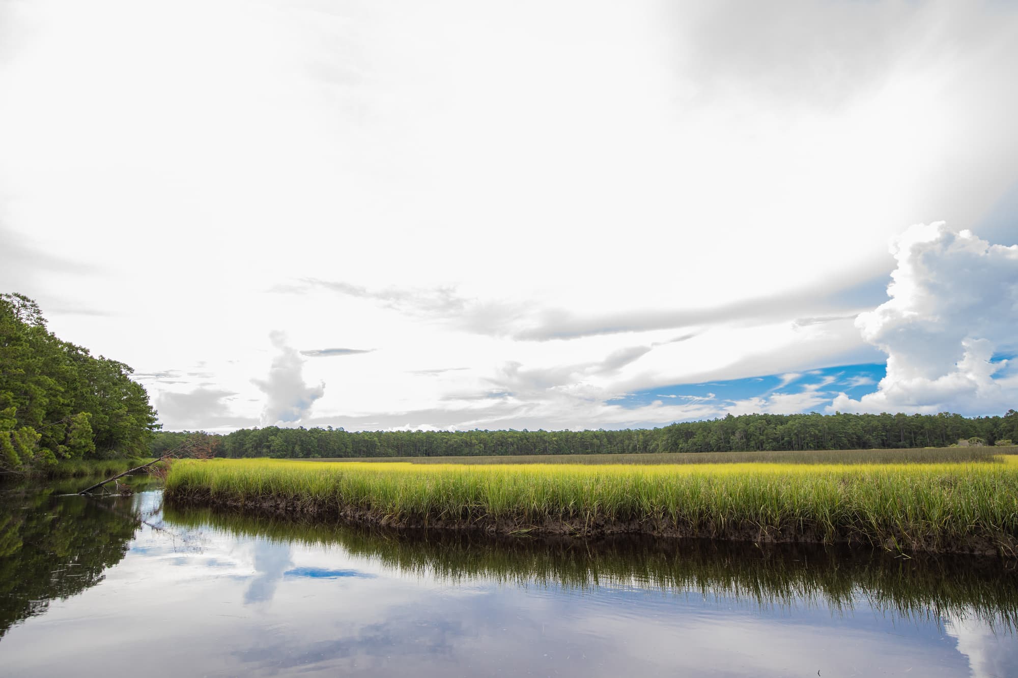
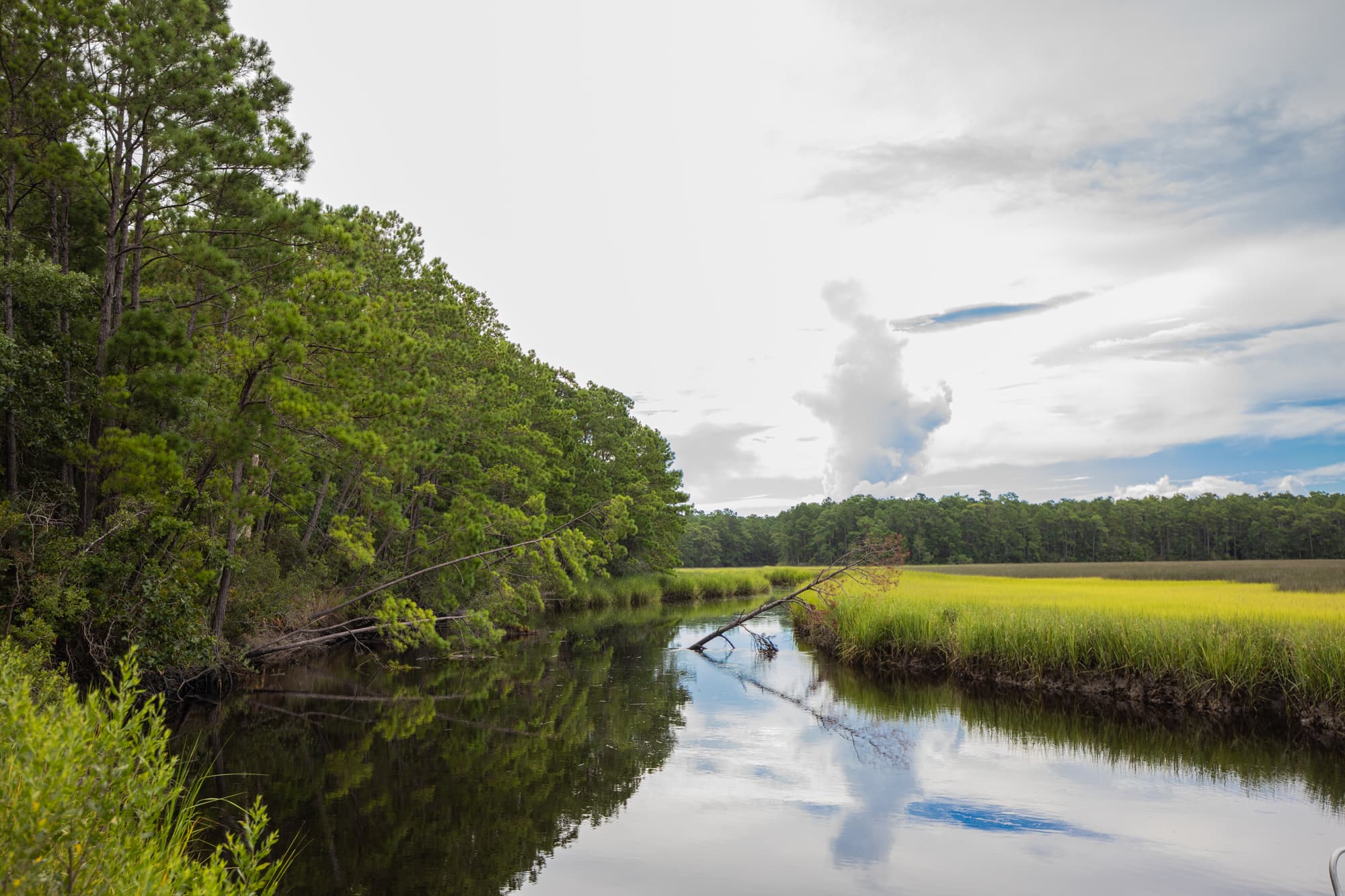
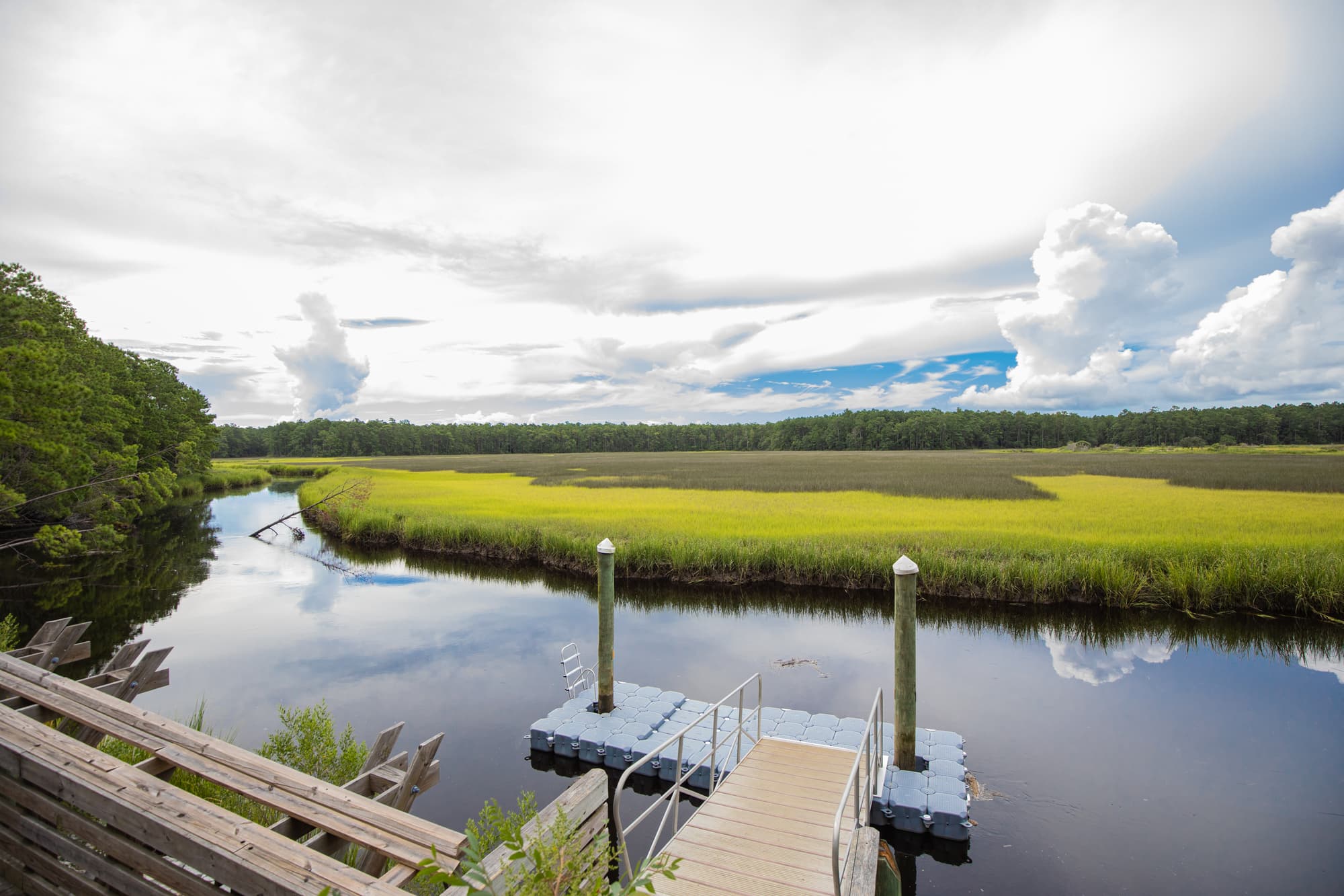
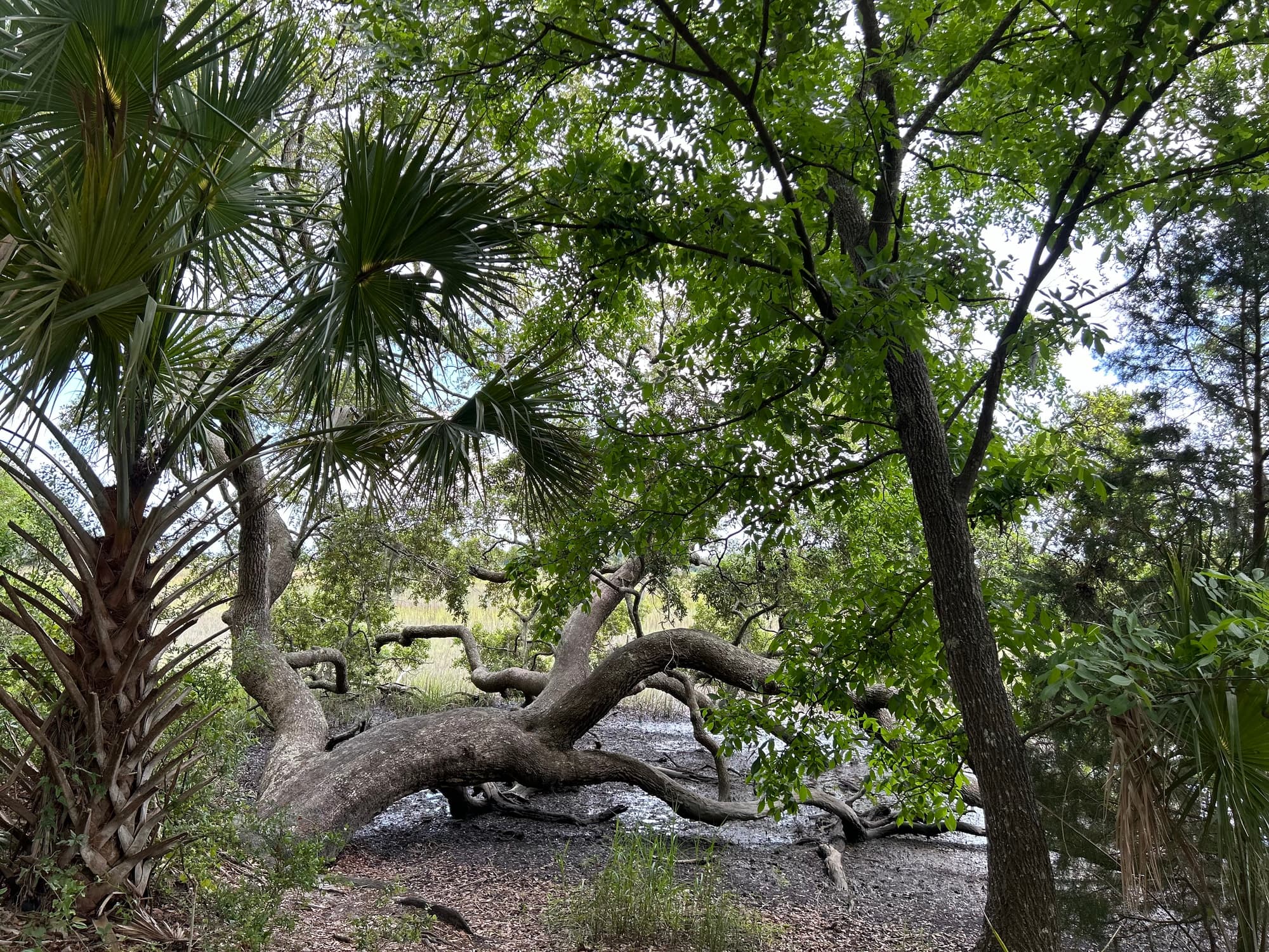
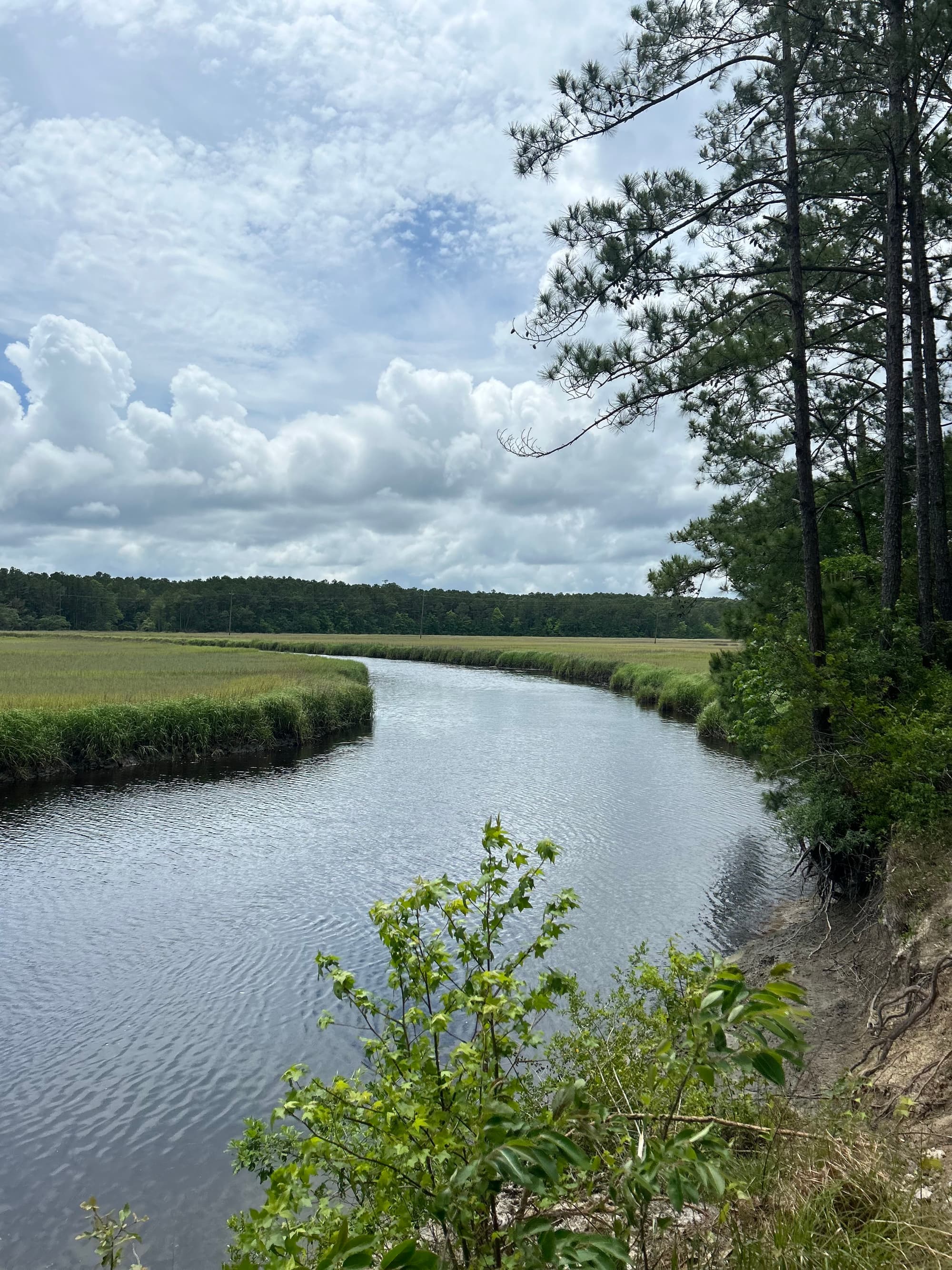
The Trail’s namesake trees greet users at the Buck Hall Recreation Area trailhead. This US Forest Service facility is named for the former Buck Hall plantation located here. Its location on the Intracoastal Waterway provides excellent access to Cape Romain National Wildlife Refuge, with its 65,000 acres of marsh, waterways and beaches–a fitting location for the southern terminus of the mountains-to-the-sea Palmetto Trail. Starting at the Intracoastal Waterway, the Trail meanders westward through maritime forest and offers sweeping vistas of Lowcountry salt marsh along Awendaw Creek. At Walnut Grove, look for a scenic overlook and boardwalk. Canoes and kayaks can be launched at the Buck Hall Recreation Area trailhead and at the end of Rosa Green Road. Both provide access to the Awendaw Creek Canoe Trail.
Find a great article on Awendaw's earliest settlers here
Additional Information
USDA Forest Service, Francis Marion Ranger District, 2967 Steed Creek Rd, Huger, SC 29450. Open 8:00 a.m. to 4:30 p.m. Monday through Friday. Ph (843) 336-2200, or visit fs.fed.us/r8/fms/
Sewee Visitor & Environmental Education Center, 5821 Hwy 17 N, Awendaw, SC 29429, ph (843) 928-3368
Directions
Trail Head
Awendaw
Trail Head GPS Coordinates
Below are the GPS coordinates for the trail heads. You can also click on the trail head markers in the map below.
Get directions to this trail head
Latitude: 33.03748484229320
Longitude: -79.61761281615253
Get directions to this trail head
Latitude: 33.03013190956031
Longitude: -79.60319549314080
Parking GPS Coordinates
Below are the GPS coordinates for the parking locations. You can also click on the parking markers in the map below.
Get directions to this parking location
Latitude: 33.03735764719804
Longitude: -79.61751800297665
Get directions to this parking location
Latitude: 33.03932454366014
Longitude: -79.56151715034684
Get directions to this parking location
Latitude: 33.03030457149335
Longitude: -79.60321116200240
Trail Map
Trail Alerts
From Reverend Perry to Swamp Fox Trail-Head is open for hikers.
Dogs must be leashed at all times.
Remember to bring trash and waste bags to pack out everything that comes in with you, and Leave No Trace.
No metal detectors allowed.
If backpacking, remember to hang food in bear bags.